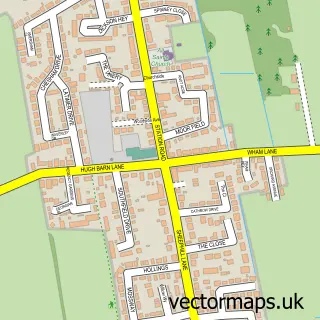
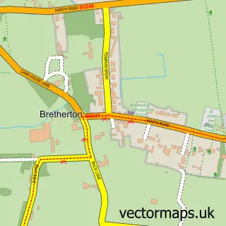
This Walmer Bridge street map is a detailed vector street map covering a 750m x 750m area. Select a larger area to create and download your own vector street map of Walmer Bridge.
The 750-metre map sample for Walmer Bridge covers 472 mapped buildings and approximately 17.4 km of road detail, of which 27 named roads are named. The immediate area includes 1 school, 2 GP surgeries within 2 miles, 2 pubs and 2 MOT stations, with 6 within 2 miles. The wider area around Walmer Bridge features 1 tourism point of interest and 3 food and drink venues. To create a larger or custom map of Walmer Bridge, the map builder lets you define your own coverage area and download editable SVG, PDF and PNG files.
Create a larger editable map of Walmer Bridge
Choose any area you need and generate a high-quality vector map instantly. Perfect for print, planning, design, business and personal use.

This Walmer Bridge street map in Lancashire is available as downloadable SVG, PDF and PNG map files, or as a printed map for planning, business, display, education, local information and design work. You can also create a larger custom map area using the map selector.
What this Walmer Bridge map sample shows
Walmer Bridge lies within Little Hoole Cp parish, part of Hoole ward in the South Ribble District (B) local authority area. The postcode geography for this area includes the PR postcode area, the PR4 postcode district and the PR4 5 postcode sector. Residents fall under the Nhs Lancashire And South Cumbria Integrated Care Board for NHS services.
Local features near Walmer Bridge
Within 2 milesAmenities and services in and around Walmer Bridge.
Administrative and postcode information for Walmer Bridge
Walmer Bridge lies within Little Hoole Cp parish, part of Hoole ward in the South Ribble District (B) local authority area. The postcode geography for this area includes the PR postcode area, the PR4 postcode district and the PR4 5 postcode sector. Residents fall under the Nhs Lancashire And South Cumbria Integrated Care Board for NHS services.
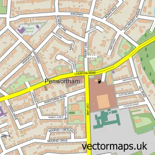
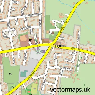
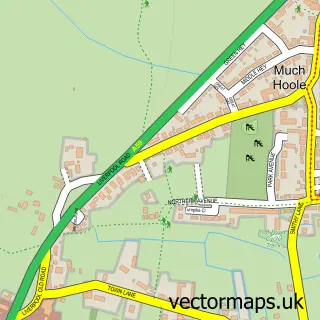
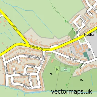
Nearby street map samples around Walmer Bridge

More street maps in Lancashire
750 metre map area coverage
Boundary, postcode and point of interest information for the 750m x 750m rectangle centred on this sample map.
Boundaries containing map centre
Constituency: South Ribble Co Const
County: Lancashire County
District: South Ribble District (B)
Icb: NHS Lancashire and South Cumbria ICB
Parish: Little Hoole CP
Police Force: lancashire
Postcode District: PR4
Postcode Sector: PR4 5
Ward: Hoole Ward
Nearby boundaries intersecting sample
Parish: Longton CP
Postcode Sector: PR4 4
Ward: Longton & Hutton West Ward
Postcode coverage
POI category counts
Convenience Store: 3
Gas Station: 3
Professional Services: 3
Automotive Repair: 2
Brake Service And Repair: 2
Building Supply Store: 2
Event Photography: 2
Home Service: 2
Plumbing: 2
Pub: 2
Sample points of interest
- Ambulance station
- Suthers Star Garage
- Unipart Car Care Centre
- Jenna Louise Hair Lounge
- Walmer Cycles
- Suthers (Star Garage) Ltd.
- Suthers Star Garage Ltd.
- Asland Pest Control Services
- G M Gas Services
- Holgate Butchers
- The Village Teapot
- William Loughran Ltd
Create a larger editable map of Walmer Bridge
This sample shows only a 750 metre area. To create a larger map of Walmer Bridge, use our map builder to choose your own coverage area, add titles and download editable SVG, PDF and PNG files.
Create a custom map of Walmer Bridge