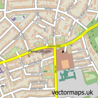
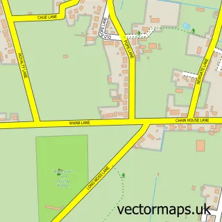
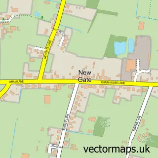
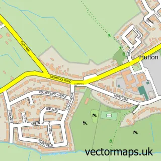
This New Longton street map is a detailed vector street map covering a 750m x 750m area. Select a larger area to create and download your own vector street map of New Longton.
The 750-metre map sample for New Longton covers 441 mapped buildings and approximately 12.2 km of road detail, of which 30 named roads are named. The immediate area includes 1 school, 1 GP surgery, with 5 within 2 miles and 16 MOT stations within 2 miles. To create a larger or custom map of New Longton, the map builder lets you define your own coverage area and download editable SVG, PDF and PNG files.
Create a larger editable map of New Longton
Choose any area you need and generate a high-quality vector map instantly. Perfect for print, planning, design, business and personal use.

This New Longton street map in Lancashire is available as downloadable SVG, PDF and PNG map files, or as a printed map for planning, business, display, education, local information and design work. You can also create a larger custom map area using the map selector.
What this New Longton map sample shows
New Longton lies within Longton Cp parish, part of New Longton & Hutton East ward in the South Ribble District (B) local authority area. The postcode geography for this area includes the PR postcode area, the PR4 postcode district and the PR4 4 postcode sector. Residents fall under the Nhs Lancashire And South Cumbria Integrated Care Board for NHS services.
Local features near New Longton
Within 2 milesAmenities and services in and around New Longton.
Administrative and postcode information for New Longton
The local authority covering New Longton is South Ribble District (B), within the county of Lancashire. The settlement lies within New Longton & Hutton East ward and Longton Cp civil parish. The PR4 postcode district and PR4 4 postcode sector serve the immediate area. NHS provision in the area is delivered through Lancashire Teaching Hospitals Nhs Foundation Trust.
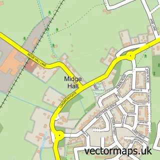
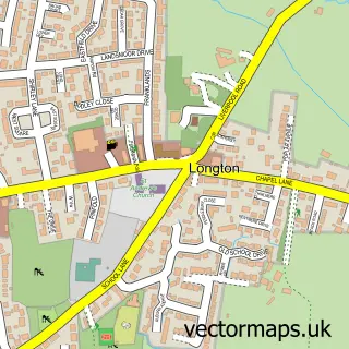
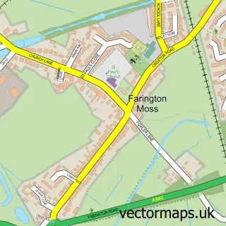
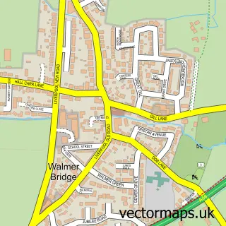
Nearby street map samples around New Longton

More street maps in Lancashire
750 metre map area coverage
Boundary, postcode and point of interest information for the 750m x 750m rectangle centred on this sample map.
Boundaries containing map centre
Constituency: South Ribble Co Const
County: Lancashire County
District: South Ribble District (B)
Icb: NHS Lancashire and South Cumbria ICB
Parish: Longton CP
Police Force: lancashire
Postcode District: PR4
Postcode Sector: PR4 4
Ward: New Longton & Hutton East Ward
Nearby boundaries intersecting sample
No additional intersecting boundaries found.
Postcode coverage
POI category counts
Church Cathedral: 2
Contractor: 2
Elementary School: 2
Scout Hall: 2
Agriculture: 1
Anglican Church: 1
Automotive Repair: 1
Community Services Non Profits: 1
Electrician: 1
Engineering Services: 1
Sample points of interest
- Climb and Cut Tree Surgeon
- All Saints'
- Lancashire auto recovery
- All Saints' Church, New Longton
- New Longton All Saints Church
- Rays of Sunlight
- Blake Parkinson Tiling Service
- Longton Property Services
- Telford Electrical
- New Longton All Saints C of E Primary School
- New Longton All Saints School
- International Safety Services
Create a larger editable map of New Longton
This sample shows only a 750 metre area. To create a larger map of New Longton, use our map builder to choose your own coverage area, add titles and download editable SVG, PDF and PNG files.
Create a custom map of New Longton