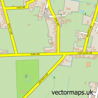
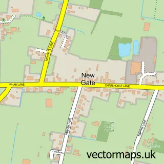
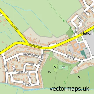
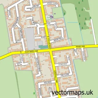
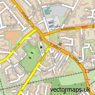
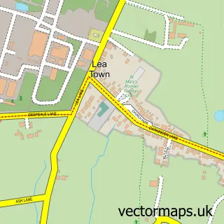
This Penwortham street map is a detailed vector street map covering a 750m x 750m area. Select a larger area to create and download your own vector street map of Penwortham.
The 750-metre map sample for Penwortham covers 577 mapped buildings and approximately 18.1 km of road detail, of which 38 named roads are named. The immediate area includes 1 school, 2 GP surgeries, with 10 within 2 miles, 3 pubs and 2 MOT stations, with 51 within 2 miles. The wider area around Penwortham features 1 tourism point of interest and 8 food and drink venues. To create a larger or custom map of Penwortham, the map builder lets you define your own coverage area and download editable SVG, PDF and PNG files.
Create a larger editable map of Penwortham
Choose any area you need and generate a high-quality vector map instantly. Perfect for print, planning, design, business and personal use.

This Penwortham street map in Lancashire is available as downloadable SVG, PDF and PNG map files, or as a printed map for planning, business, display, education, local information and design work. You can also create a larger custom map area using the map selector.
What this Penwortham map sample shows
Penwortham lies within Penwortham Cp parish, part of Howick & Priory ward in the South Ribble District (B) local authority area. The postcode geography for this area includes the PR postcode area, the PR1 postcode district and the PR1 0 postcode sector. Residents fall under the Nhs Lancashire And South Cumbria Integrated Care Board for NHS services.
Local features near Penwortham
Within 2 milesAmenities and services in and around Penwortham.
Administrative and postcode information for Penwortham
Penwortham lies within Penwortham Cp parish, part of Howick & Priory ward in the South Ribble District (B) local authority area. The postcode geography for this area includes the PR postcode area, the PR1 postcode district and the PR1 0 postcode sector. Residents fall under the Nhs Lancashire And South Cumbria Integrated Care Board for NHS services.
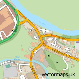
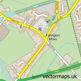
Nearby street map samples around Penwortham

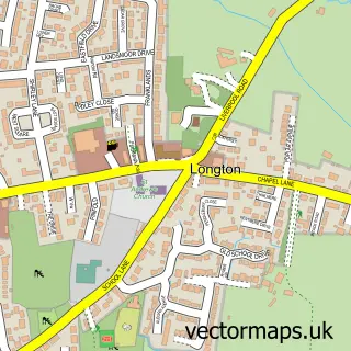
More street maps in Lancashire
750 metre map area coverage
Boundary, postcode and point of interest information for the 750m x 750m rectangle centred on this sample map.
Boundaries containing map centre
Constituency: South Ribble Co Const
County: Lancashire County
District: South Ribble District (B)
Icb: NHS Lancashire and South Cumbria ICB
Parish: Penwortham CP
Police Force: lancashire
Postcode District: PR1
Postcode Sector: PR1 9
Ward: Howick & Priory Ward
Nearby boundaries intersecting sample
Postcode Sector: PR1 0
Ward: Broad Oak Ward
Postcode coverage
POI category counts
Beauty Salon: 9
Hair Salon: 8
Acupuncture: 5
Barber: 5
Real Estate Agent: 5
Dentist: 4
Pharmacy: 4
Scout Hall: 4
Automotive Repair: 3
Banks: 3
Sample points of interest
- Acupuncture & Chinese Herbal Medicine
- Anna Krypczyk Acupuncture & Chinese Herbal Medicine
- Complementary Health Centre
- LAR Acupuncture And Wellbeing
- Larissa's Acupuncture Room
- African Village Preston
- Bowland Pennine Mountain Rescue Team
- Penwortham Arts Centre
- ATM (Post Office)
- A. J. Busfield
- Bennett's mot and car repair centre limited
- Eric Cliffe Limited
Create a larger editable map of Penwortham
This sample shows only a 750 metre area. To create a larger map of Penwortham, use our map builder to choose your own coverage area, add titles and download editable SVG, PDF and PNG files.
Create a custom map of Penwortham