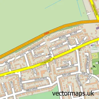
This Lea Town street map is a detailed vector street map covering a 750m x 750m area. Select a larger area to create and download your own vector street map of Lea Town.
The 750-metre map sample for Lea Town covers 154 mapped buildings and approximately 13.0 km of road detail, of which 5 named roads are named. The immediate area includes 1 school, 1 pub and 6 MOT stations within 2 miles. The wider area around Lea Town features 1 tourism point of interest, 1 food and drink venue and 1 hotel. To create a larger or custom map of Lea Town, the map builder lets you define your own coverage area and download editable SVG, PDF and PNG files.
Create a larger editable map of Lea Town
Choose any area you need and generate a high-quality vector map instantly. Perfect for print, planning, design, business and personal use.

This Lea Town street map in Lancashire is available as downloadable SVG, PDF and PNG map files, or as a printed map for planning, business, display, education, local information and design work. You can also create a larger custom map area using the map selector.
What this Lea Town map sample shows
Lea Town lies within Lea Cp parish, part of Ingol & Cottam ward in the Preston District (B) local authority area. The postcode geography for this area includes the PR postcode area, the PR4 postcode district and the PR4 0 postcode sector. Residents fall under the Nhs Lancashire And South Cumbria Integrated Care Board for NHS services.
Local features near Lea Town
Within 2 milesAmenities and services in and around Lea Town.
Administrative and postcode information for Lea Town
Lea Town lies within Lea Cp parish, part of Ingol & Cottam ward in the Preston District (B) local authority area. The postcode geography for this area includes the PR postcode area, the PR4 postcode district and the PR4 0 postcode sector. Residents fall under the Nhs Lancashire And South Cumbria Integrated Care Board for NHS services.
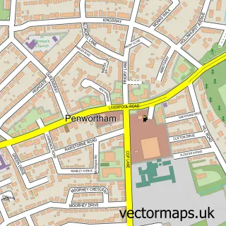
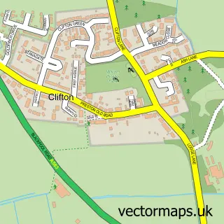
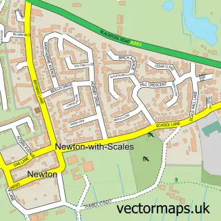
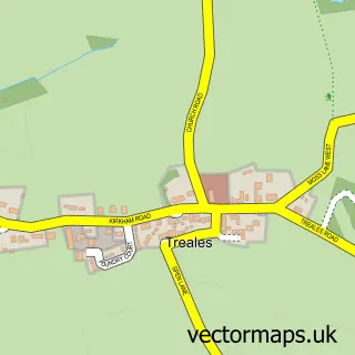
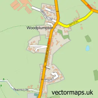
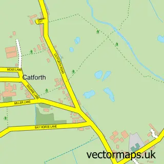
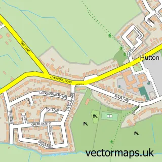
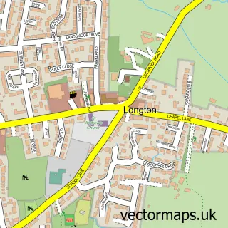
Nearby street map samples around Lea Town

More street maps in Lancashire
750 metre map area coverage
Boundary, postcode and point of interest information for the 750m x 750m rectangle centred on this sample map.
Boundaries containing map centre
Constituency: Preston Boro Const
County: Lancashire County
District: Preston District (B)
Icb: NHS Lancashire and South Cumbria ICB
Parish: Lea CP
Police Force: lancashire
Postcode District: PR4
Postcode Sector: PR4 0
Ward: Ingol & Cottam Ward
Nearby boundaries intersecting sample
Constituency: Fylde Co Const
District: Fylde District (B)
Parish: Newton-with-Clifton CP
Ward: Rural East Fylde Ward
Postcode coverage
POI category counts
Hypnosis Hypnotherapy: 3
Auto Parts And Supply Store: 1
Campground: 1
Chemical Plant: 1
Church Cathedral: 1
Contractor: 1
Elementary School: 1
Event Planning: 1
Farm: 1
Professional Services: 1
Sample points of interest
- Spares Giant
- Smithills View Campsite & Events
- F2 Chemicals
- St Mary's Roman Catholic Church
- Pete Marquis Industries
- Lea St Mary's Catholic Primary School
- The Collecting Yard
- Wyldwood Family Farm
- Andrew Nelson Weight Loss Programs
- Andrew Nelson Weight Loss Programs
- Headstrong Solutions
- F2 Chemicals
Create a larger editable map of Lea Town
This sample shows only a 750 metre area. To create a larger map of Lea Town, use our map builder to choose your own coverage area, add titles and download editable SVG, PDF and PNG files.
Create a custom map of Lea Town