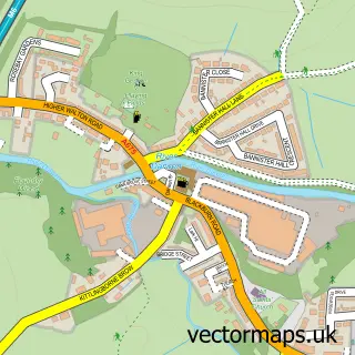
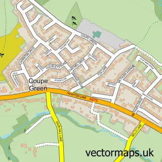
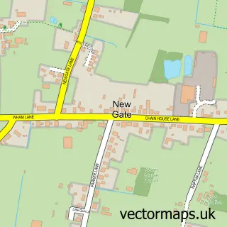
This Walton-le-Dale street map is a detailed vector street map covering a 750m x 750m area. Select a larger area to create and download your own vector street map of Walton-le-Dale.
The 750-metre map sample for Walton-le-Dale covers 184 mapped buildings and approximately 10.7 km of road detail, of which 20 named roads are named. The immediate area includes 1 school, 1 GP surgery, with 12 within 2 miles, 4 pubs and 2 MOT stations, with 41 within 2 miles. The wider area around Walton-le-Dale features 1 tourism point of interest and 9 food and drink venues. To create a larger or custom map of Walton-le-Dale, the map builder lets you define your own coverage area and download editable SVG, PDF and PNG files.
Create a larger editable map of Walton-le-Dale
Choose any area you need and generate a high-quality vector map instantly. Perfect for print, planning, design, business and personal use.

This Walton-le-Dale street map in Lancashire is available as downloadable SVG, PDF and PNG map files, or as a printed map for planning, business, display, education, local information and design work. You can also create a larger custom map area using the map selector.
What this Walton-le-Dale map sample shows
Walton-le-Dale lies within Lancashire County parish, part of Walton-Le-Dale West ward in the South Ribble District (B) local authority area. The postcode geography for this area includes the PR postcode area, the PR5 postcode district and the PR5 4 postcode sector. Residents fall under the Nhs Lancashire And South Cumbria Integrated Care Board for NHS services.
Local features near Walton-le-Dale
Within 2 milesAmenities and services in and around Walton-le-Dale.
Administrative and postcode information for Walton-le-Dale
Walton-le-Dale lies within Lancashire County parish, part of Walton-Le-Dale West ward in the South Ribble District (B) local authority area. The postcode geography for this area includes the PR postcode area, the PR5 postcode district and the PR5 4 postcode sector. Residents fall under the Nhs Lancashire And South Cumbria Integrated Care Board for NHS services.
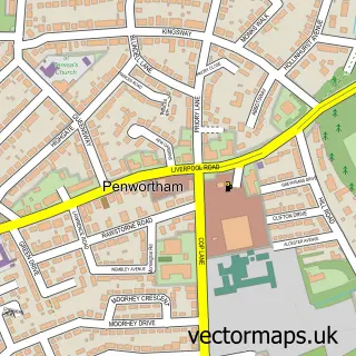
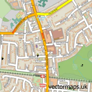
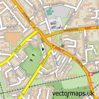
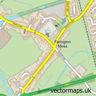
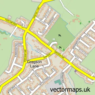
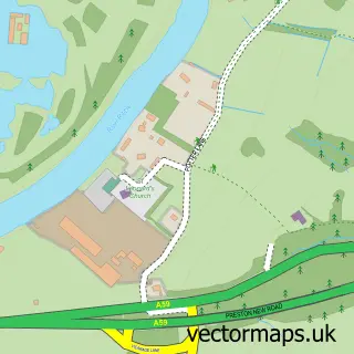
Nearby street map samples around Walton-le-Dale

More street maps in Lancashire
750 metre map area coverage
Boundary, postcode and point of interest information for the 750m x 750m rectangle centred on this sample map.
Boundaries containing map centre
Constituency: Ribble Valley Co Const
County: Lancashire County
District: South Ribble District (B)
Icb: NHS Lancashire and South Cumbria ICB
Police Force: lancashire
Postcode District: PR5
Postcode Sector: PR5 4
Ward: Samlesbury & Walton Ward
Nearby boundaries intersecting sample
Constituency: Preston Boro Const
District: Preston District (B)
Postcode District: PR2
Postcode Sector: PR2 5
Ward: Fishwick & Frenchwood Ward, Walton-le-Dale West Ward
Postcode coverage
POI category counts
Beauty Salon: 4
Gas Station: 4
Pub: 4
Carpet Store: 3
Coffee Shop: 3
Discount Store: 3
Pharmacy: 3
Veterinarian: 3
Car Dealer: 2
Church Cathedral: 2
Sample points of interest
- MFG - Walton, Victoria Road
- Lancashire Sandrails
- Iwo Auto Service
- Penningtons Bakery and Sandwiches
- 17th Barber Club
- The Works Hairdressing
- Capital Centre Preston
- Alex & Co
- Ashley Jayne Beauty
- CDW beauty
- Hair by Zoe at The Works
- Traxion Training
Create a larger editable map of Walton-le-Dale
This sample shows only a 750 metre area. To create a larger map of Walton-le-Dale, use our map builder to choose your own coverage area, add titles and download editable SVG, PDF and PNG files.
Create a custom map of Walton-le-Dale