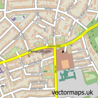
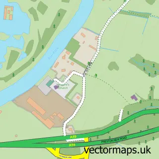
This Coupe Green street map is a detailed vector street map covering a 750m x 750m area. Select a larger area to create and download your own vector street map of Coupe Green.
The 750-metre map sample for Coupe Green covers 476 mapped buildings and approximately 12.6 km of road detail, of which 24 named roads are named. The immediate area includes 1 school, 2 GP surgeries within 2 miles, 1 pub and 6 MOT stations within 2 miles. The wider area around Coupe Green features 1 food and drink venue. To create a larger or custom map of Coupe Green, the map builder lets you define your own coverage area and download editable SVG, PDF and PNG files.
Create a larger editable map of Coupe Green
Choose any area you need and generate a high-quality vector map instantly. Perfect for print, planning, design, business and personal use.

This Coupe Green street map in Lancashire is available as downloadable SVG, PDF and PNG map files, or as a printed map for planning, business, display, education, local information and design work. You can also create a larger custom map area using the map selector.
What this Coupe Green map sample shows
Coupe Green lies within Lancashire County parish, part of Samlesbury & Walton ward in the South Ribble District (B) local authority area. The postcode geography for this area includes the PR postcode area, the PR5 postcode district and the PR5 4 postcode sector. Residents fall under the Nhs Lancashire And South Cumbria Integrated Care Board for NHS services.
Local features near Coupe Green
Within 2 milesAmenities and services in and around Coupe Green.
Administrative and postcode information for Coupe Green
Coupe Green lies within Lancashire County parish, part of Samlesbury & Walton ward in the South Ribble District (B) local authority area. The postcode geography for this area includes the PR postcode area, the PR5 postcode district and the PR5 4 postcode sector. Residents fall under the Nhs Lancashire And South Cumbria Integrated Care Board for NHS services.
Nearby street map samples around Coupe Green

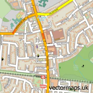
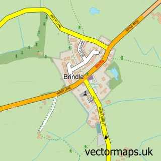
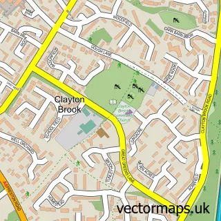
More street maps in Lancashire
750 metre map area coverage
Boundary, postcode and point of interest information for the 750m x 750m rectangle centred on this sample map.
Boundaries containing map centre
Constituency: Ribble Valley Co Const
County: Lancashire County
District: South Ribble District (B)
Icb: NHS Lancashire and South Cumbria ICB
Police Force: lancashire
Postcode District: PR5
Postcode Sector: PR5 0
Ward: Coupe Green & Gregson Lane Ward
Nearby boundaries intersecting sample
Postcode Sector: PR5 4
Ward: Samlesbury & Walton Ward
Postcode coverage
POI category counts
Convenience Store: 5
Acupuncture: 2
Atms: 2
Gas Station: 2
Grocery Store: 2
Package Locker: 2
Barber: 1
Elementary School: 1
Flowers And Gifts Shop: 1
Garbage Collection Service: 1
Sample points of interest
- Kay Lam Acupuncture
- Kay Lam Acupuncture
- PayPoint
- Spar (Protected), Hoghton
- Cutting Corner
- Londis Hoghton Lane
- Londis LONDIS - HOGHTON
- SPAR
- SPAR
- SPAR Houghton
- Coupe Green Primary School
- Call Me Flower
Create a larger editable map of Coupe Green
This sample shows only a 750 metre area. To create a larger map of Coupe Green, use our map builder to choose your own coverage area, add titles and download editable SVG, PDF and PNG files.
Create a custom map of Coupe Green