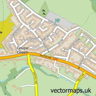
This Clayton Brook street map is a detailed vector street map covering a 750m x 750m area. Select a larger area to create and download your own vector street map of Clayton Brook.
The 750-metre map sample for Clayton Brook covers 405 mapped buildings and approximately 21.7 km of road detail, of which 25 named roads are named. The immediate area includes 2 schools, 2 GP surgeries, with 5 within 2 miles and 10 MOT stations within 2 miles. The wider area around Clayton Brook features 1 tourism point of interest and 2 food and drink venues. To create a larger or custom map of Clayton Brook, the map builder lets you define your own coverage area and download editable SVG, PDF and PNG files.
Create a larger editable map of Clayton Brook
Choose any area you need and generate a high-quality vector map instantly. Perfect for print, planning, design, business and personal use.

This Clayton Brook street map in Lancashire is available as downloadable SVG, PDF and PNG map files, or as a printed map for planning, business, display, education, local information and design work. You can also create a larger custom map area using the map selector.
What this Clayton Brook map sample shows
Clayton Brook lies within Clayton-Le-Woods Cp parish, part of Clayton-Le-Woods North ward in the Chorley District (B) local authority area. The postcode geography for this area includes the PR postcode area, the PR6 postcode district and the PR6 7 postcode sector. Residents fall under the Nhs Lancashire And South Cumbria Integrated Care Board for NHS services.
Local features near Clayton Brook
Within 2 milesAmenities and services in and around Clayton Brook.
Administrative and postcode information for Clayton Brook
The local authority covering Clayton Brook is Chorley District (B), within the county of Lancashire. The settlement lies within Clayton-Le-Woods North ward and Clayton-Le-Woods Cp civil parish. The PR6 postcode district and PR6 7 postcode sector serve the immediate area. NHS provision in the area is delivered through Lancashire Teaching Hospitals Nhs Foundation Trust.
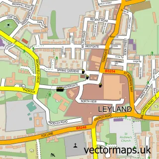
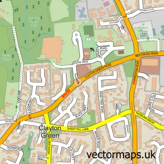
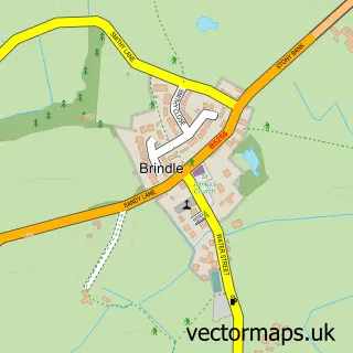
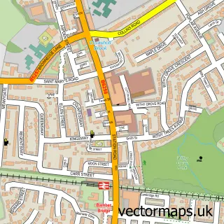
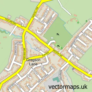
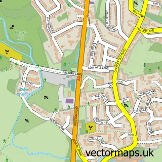
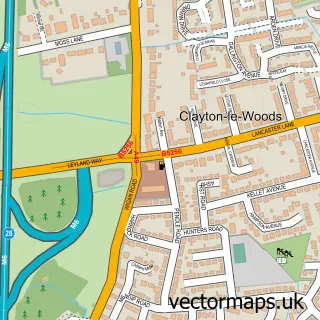
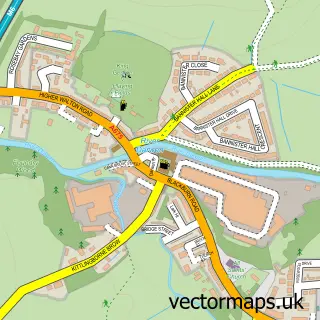
Nearby street map samples around Clayton Brook

More street maps in Lancashire
750 metre map area coverage
Boundary, postcode and point of interest information for the 750m x 750m rectangle centred on this sample map.
Boundaries containing map centre
Constituency: Chorley Co Const
County: Lancashire County
District: Chorley District (B)
Icb: NHS Lancashire and South Cumbria ICB
Parish: Clayton-le-Woods CP
Police Force: lancashire
Postcode District: PR5
Postcode Sector: PR5 8
Ward: Clayton East, Brindle & Hoghton Ward
Nearby boundaries intersecting sample
Postcode District: PR6
Postcode Sector: PR5 6, PR6 7, PR6 8
Postcode coverage
POI category counts
Assisted Living Facility: 4
Cafe: 2
Doctor: 2
Education: 2
Fast Food Restaurant: 2
Korean Grocery Store: 2
Post Office: 2
Professional Services: 2
Storage Facility: 2
Auto Detailing: 1
Sample points of interest
- Active Pathways
- Briary Court
- Optima Care
- Woodlands
- Lee's Detailing
- Barton Grange
- Hair Force One
- Hair By Jaide
- Clayton Community Café
- Village Bite
- A6 Car Wash
- China Box
Create a larger editable map of Clayton Brook
This sample shows only a 750 metre area. To create a larger map of Clayton Brook, use our map builder to choose your own coverage area, add titles and download editable SVG, PDF and PNG files.
Create a custom map of Clayton Brook