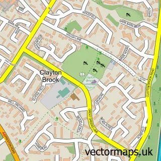
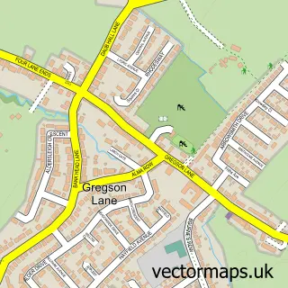
This Clayton Green street map is a detailed vector street map covering a 750m x 750m area. Select a larger area to create and download your own vector street map of Clayton Green.
The 750-metre map sample for Clayton Green covers 424 mapped buildings and approximately 17.1 km of road detail, of which 30 named roads are named. The immediate area includes 2 schools, 5 GP surgeries within 2 miles, 2 pubs and 12 MOT stations within 2 miles. The wider area around Clayton Green features 3 tourism points of interest, 3 food and drink venues and 3 hotels. To create a larger or custom map of Clayton Green, the map builder lets you define your own coverage area and download editable SVG, PDF and PNG files.
Create a larger editable map of Clayton Green
Choose any area you need and generate a high-quality vector map instantly. Perfect for print, planning, design, business and personal use.

This Clayton Green street map in Lancashire is available as downloadable SVG, PDF and PNG map files, or as a printed map for planning, business, display, education, local information and design work. You can also create a larger custom map area using the map selector.
What this Clayton Green map sample shows
Clayton Green lies within Clayton-Le-Woods Cp parish, part of Clayton-Le-Woods North ward in the Chorley District (B) local authority area. The postcode geography for this area includes the PR postcode area, the PR6 postcode district and the PR6 7 postcode sector. Residents fall under the Nhs Lancashire And South Cumbria Integrated Care Board for NHS services.
Local features near Clayton Green
Within 2 milesAmenities and services in and around Clayton Green.
Administrative and postcode information for Clayton Green
The local authority covering Clayton Green is Chorley District (B), within the county of Lancashire. The settlement lies within Clayton-Le-Woods North ward and Clayton-Le-Woods Cp civil parish. The PR6 postcode district and PR6 7 postcode sector serve the immediate area. NHS provision in the area is delivered through Lancashire Teaching Hospitals Nhs Foundation Trust.
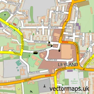
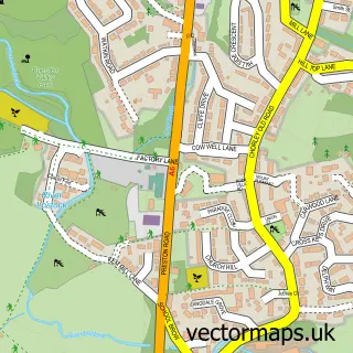
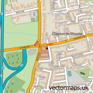
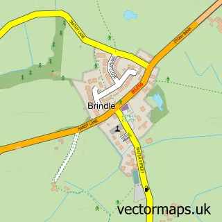
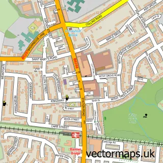
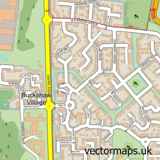
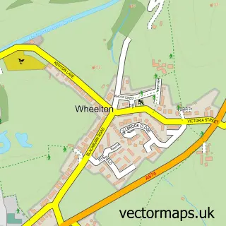
Nearby street map samples around Clayton Green

More street maps in Lancashire
750 metre map area coverage
Boundary, postcode and point of interest information for the 750m x 750m rectangle centred on this sample map.
Boundaries containing map centre
Constituency: Chorley Co Const
County: Lancashire County
District: Chorley District (B)
Icb: NHS Lancashire and South Cumbria ICB
Parish: Clayton-le-Woods CP
Police Force: lancashire
Postcode District: PR6
Postcode Sector: PR6 7
Ward: Clayton East, Brindle & Hoghton Ward
Nearby boundaries intersecting sample
Postcode District: PR5
Postcode Sector: PR5 8
Ward: Clayton West & Cuerden Ward
Postcode coverage
POI category counts
Hotel: 3
Sports Club And League: 3
Supermarket: 3
Driving School: 2
Elementary School: 2
Gymnastics Center: 2
Home Service: 2
Park: 2
Photo Booth Rental: 2
Preschool: 2
Sample points of interest
- Designed 2 Comply Energy
- Asda Clayton Green 2, Clayton Green
- Carfix
- Timpson
- Lloyds Bank
- Subway
- Maynards Electrics
- St Bede's RC Church
- Cosy car seat blankets
- St Bede's Catholic Church,clayton Green
- Starbucks
- Extra Space Loft Conversions
Create a larger editable map of Clayton Green
This sample shows only a 750 metre area. To create a larger map of Clayton Green, use our map builder to choose your own coverage area, add titles and download editable SVG, PDF and PNG files.
Create a custom map of Clayton Green