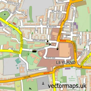
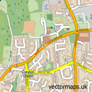
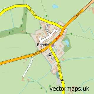
This Buckshaw Village street map is a detailed vector street map covering a 750m x 750m area. Select a larger area to create and download your own vector street map of Buckshaw Village.
The 750-metre map sample for Buckshaw Village covers 502 mapped buildings and approximately 18.1 km of road detail, of which 47 named roads are named. The immediate area includes 5 GP surgeries within 2 miles and 11 MOT stations within 2 miles. The wider area around Buckshaw Village features 1 tourism point of interest. To create a larger or custom map of Buckshaw Village, the map builder lets you define your own coverage area and download editable SVG, PDF and PNG files.
Create a larger editable map of Buckshaw Village
Choose any area you need and generate a high-quality vector map instantly. Perfect for print, planning, design, business and personal use.

This Buckshaw Village street map in Lancashire is available as downloadable SVG, PDF and PNG map files, or as a printed map for planning, business, display, education, local information and design work. You can also create a larger custom map area using the map selector.
What this Buckshaw Village map sample shows
Buckshaw Village lies within Whittle-Le-Woods Cp parish, part of Clayton-Le-Woods And Whittle-Le-Woods ward in the Chorley District (B) local authority area. The postcode geography for this area includes the PR postcode area, the PR6 postcode district and the PR6 7 postcode sector. Residents fall under the Nhs Lancashire And South Cumbria Integrated Care Board for NHS services.
Local features near Buckshaw Village
Within 2 milesAmenities and services in and around Buckshaw Village.
Administrative and postcode information for Buckshaw Village
Buckshaw Village lies within Whittle-Le-Woods Cp parish, part of Clayton-Le-Woods And Whittle-Le-Woods ward in the Chorley District (B) local authority area. The postcode geography for this area includes the PR postcode area, the PR6 postcode district and the PR6 7 postcode sector. Residents fall under the Nhs Lancashire And South Cumbria Integrated Care Board for NHS services.
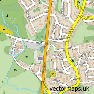
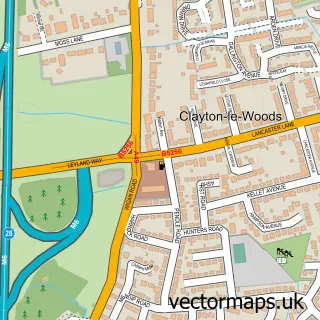
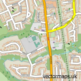
Nearby street map samples around Buckshaw Village

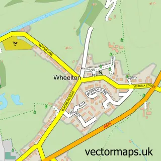
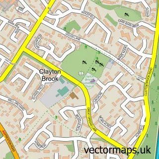
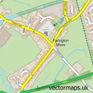
More street maps in Lancashire
750 metre map area coverage
Boundary, postcode and point of interest information for the 750m x 750m rectangle centred on this sample map.
Boundaries containing map centre
Constituency: South Ribble Co Const
County: Lancashire County
District: South Ribble District (B)
Icb: NHS Lancashire and South Cumbria ICB
Police Force: lancashire
Postcode District: PR7
Postcode Sector: PR7 7
Ward: Buckshaw & Worden Ward
Nearby boundaries intersecting sample
Constituency: Chorley Co Const
District: Chorley District (B)
Parish: Euxton CP, Whittle-le-Woods CP
Ward: Buckshaw & Whittle Ward
Postcode coverage
POI category counts
Contractor: 3
Hair Salon: 3
Professional Services: 3
Retirement Home: 3
Beauty Salon: 2
Building Supply Store: 2
Engineering Services: 2
Financial Service: 2
Land Surveying: 2
Pet Groomer: 2
Sample points of interest
- Buckshaw Karate
- Ian Building Plans
- Photographs 4 You
- Blakedale Ltd
- Libby's bakery
- Bazzajax
- The Gentleman's Barbershop
- Dr Claire BDS, MFDS RCPS Glasg
- Kristopher Anthony Hairdressing
- LG Beauty
- Bob Elliot & Co
- Kitchen Fitter Lancashire
Create a larger editable map of Buckshaw Village
This sample shows only a 750 metre area. To create a larger map of Buckshaw Village, use our map builder to choose your own coverage area, add titles and download editable SVG, PDF and PNG files.
Create a custom map of Buckshaw Village