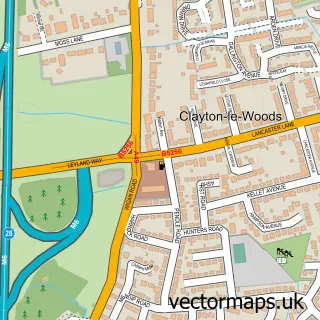
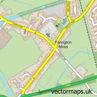
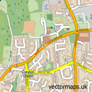
This Leyland street map is a detailed vector street map covering a 750m x 750m area. Select a larger area to create and download your own vector street map of Leyland.
The 750-metre map sample for Leyland covers 320 mapped buildings and approximately 16.0 km of road detail, of which 43 named roads are named. The immediate area includes 2 schools, 1 GP surgery, with 7 within 2 miles, 5 pubs and 18 MOT stations within 2 miles. The wider area around Leyland features 4 tourism points of interest and 11 food and drink venues. To create a larger or custom map of Leyland, the map builder lets you define your own coverage area and download editable SVG, PDF and PNG files.
Create a larger editable map of Leyland
Choose any area you need and generate a high-quality vector map instantly. Perfect for print, planning, design, business and personal use.

This Leyland street map in Lancashire is available as downloadable SVG, PDF and PNG map files, or as a printed map for planning, business, display, education, local information and design work. You can also create a larger custom map area using the map selector.
What this Leyland map sample shows
Leyland lies within Lancashire County parish, part of Leyland Central ward in the South Ribble District (B) local authority area. The postcode geography for this area includes the PR postcode area, the PR25 postcode district and the PR25 3 postcode sector. Residents fall under the Nhs Lancashire And South Cumbria Integrated Care Board for NHS services.
Local features near Leyland
Within 2 milesAmenities and services in and around Leyland.
Administrative and postcode information for Leyland
Leyland lies within Lancashire County parish, part of Leyland Central ward in the South Ribble District (B) local authority area. The postcode geography for this area includes the PR postcode area, the PR25 postcode district and the PR25 3 postcode sector. Residents fall under the Nhs Lancashire And South Cumbria Integrated Care Board for NHS services.
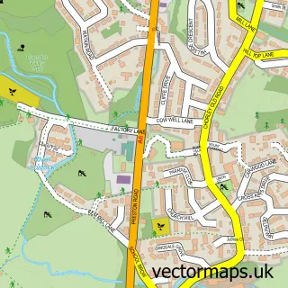
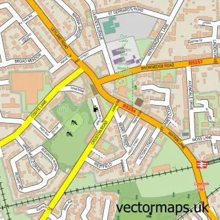
Nearby street map samples around Leyland

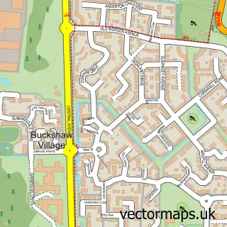
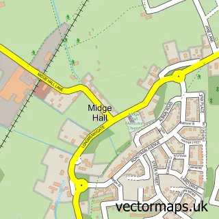
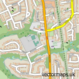
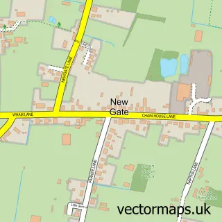
More street maps in Lancashire
750 metre map area coverage
Boundary, postcode and point of interest information for the 750m x 750m rectangle centred on this sample map.
Boundaries containing map centre
Constituency: South Ribble Co Const
County: Lancashire County
District: South Ribble District (B)
Icb: NHS Lancashire and South Cumbria ICB
Police Force: lancashire
Postcode District: PR25
Postcode Sector: PR25 2
Ward: Leyland Central Ward
Nearby boundaries intersecting sample
Postcode Sector: PR25 1, PR25 3
Ward: Broadfield Ward, Buckshaw & Worden Ward, Seven Stars Ward
Postcode coverage
POI category counts
Hair Salon: 8
Beauty Salon: 7
Professional Services: 7
Beauty And Spa: 5
Cafe: 5
Church Cathedral: 5
Pub: 5
Real Estate Agent: 5
Contractor: 4
Dentist: 4
Sample points of interest
- Harrison Salmon Associates
- MOC Accountants
- Leyland Leisure Centre
- Susan M Keady
- Xpress Holidays
- Chris Gelder Hypnotherapy
- South Ribble Physiotherapy
- St Andrew's Leyland
- Leyland Stained Glass
- Towngate Clinic
- Clough House Residential Home
- Mustang Custom Services
Create a larger editable map of Leyland
This sample shows only a 750 metre area. To create a larger map of Leyland, use our map builder to choose your own coverage area, add titles and download editable SVG, PDF and PNG files.
Create a custom map of Leyland