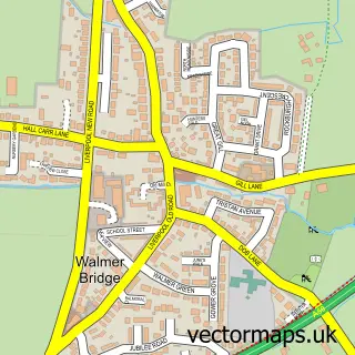
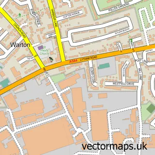
This Hesketh Bank street map is a detailed vector street map covering a 750m x 750m area. Select a larger area to create and download your own vector street map of Hesketh Bank.
The 750-metre map sample for Hesketh Bank covers 406 mapped buildings and approximately 12.7 km of road detail, of which 28 named roads are named. The immediate area includes 1 school and 2 MOT stations within 2 miles. The wider area around Hesketh Bank features 1 tourism point of interest. To create a larger or custom map of Hesketh Bank, the map builder lets you define your own coverage area and download editable SVG, PDF and PNG files.
Create a larger editable map of Hesketh Bank
Choose any area you need and generate a high-quality vector map instantly. Perfect for print, planning, design, business and personal use.

This Hesketh Bank street map in Lancashire is available as downloadable SVG, PDF and PNG map files, or as a printed map for planning, business, display, education, local information and design work. You can also create a larger custom map area using the map selector.
What this Hesketh Bank map sample shows
Hesketh Bank lies within Hesketh-With-Becconsall Cp parish, part of Hesketh-With-Becconsall ward in the West Lancashire District (B) local authority area. The postcode geography for this area includes the PR postcode area, the PR4 postcode district and the PR4 6 postcode sector. Residents fall under the Nhs Lancashire And South Cumbria Integrated Care Board for NHS services.
Local features near Hesketh Bank
Within 2 milesAmenities and services in and around Hesketh Bank.
Administrative and postcode information for Hesketh Bank
The local authority covering Hesketh Bank is West Lancashire District (B), within the county of Lancashire. The settlement lies within Hesketh-With-Becconsall ward and Hesketh-With-Becconsall Cp civil parish. The PR4 postcode district and PR4 6 postcode sector serve the immediate area. NHS provision in the area is delivered through Southport And Ormskirk Hospital Nhs Trust.
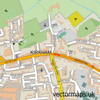
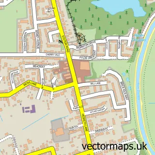
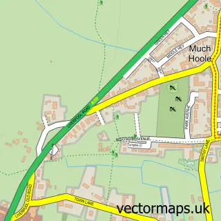
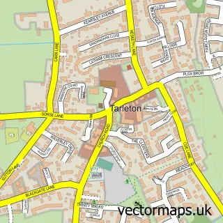
Nearby street map samples around Hesketh Bank

More street maps in Lancashire
750 metre map area coverage
Boundary, postcode and point of interest information for the 750m x 750m rectangle centred on this sample map.
Boundaries containing map centre
Constituency: Southport Co Const
County: Lancashire County
District: West Lancashire District (B)
Icb: NHS Lancashire and South Cumbria ICB
Parish: Hesketh-with-Becconsall CP
Police Force: lancashire
Postcode District: PR4
Postcode Sector: PR4 6
Ward: North Meols & Hesketh Bank Ward
Nearby boundaries intersecting sample
No additional intersecting boundaries found.
Postcode coverage
POI category counts
Contractor: 3
Building Supply Store: 2
Key And Locksmith: 2
Accountant: 1
Attractions And Activities: 1
Carpenter: 1
Chiropractor: 1
Church Cathedral: 1
Construction Services: 1
Dance School: 1
Sample points of interest
- Feeley And Co.
- Poor Marsh Allotments
- Access4Lofts Wigan
- Tarleton Roofing & Windows
- Loft Access Solutions
- St. Judes
- Hesketh Bank Methodist Chapel
- Access4Lofts
- Access4Lofts Lancaster
- Callander Plastering
- Gs Brookfield & Son Builders
- Jennifer Walters Theatre School
Create a larger editable map of Hesketh Bank
This sample shows only a 750 metre area. To create a larger map of Hesketh Bank, use our map builder to choose your own coverage area, add titles and download editable SVG, PDF and PNG files.
Create a custom map of Hesketh Bank