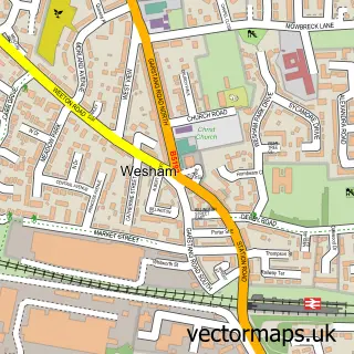
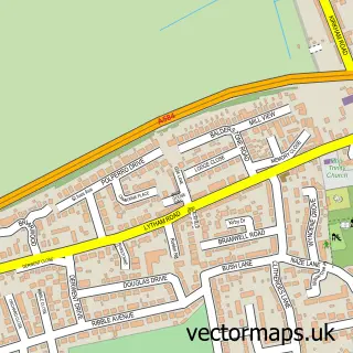
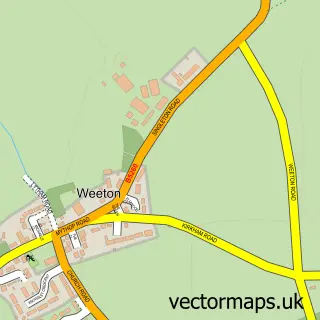
This Kirkham street map is a detailed vector street map covering a 750m x 750m area. Select a larger area to create and download your own vector street map of Kirkham.
The 750-metre map sample for Kirkham covers 332 mapped buildings and approximately 15.1 km of road detail, of which 49 named roads are named. The immediate area includes 1 primary school and 1 secondary school, 1 GP surgery, with 2 within 2 miles, 8 pubs and 6 MOT stations within 2 miles. The wider area around Kirkham features 3 tourism points of interest, 15 food and drink venues and 1 hotel. To create a larger or custom map of Kirkham, the map builder lets you define your own coverage area and download editable SVG, PDF and PNG files.
Create a larger editable map of Kirkham
Choose any area you need and generate a high-quality vector map instantly. Perfect for print, planning, design, business and personal use.

This Kirkham street map in Lancashire is available as downloadable SVG, PDF and PNG map files, or as a printed map for planning, business, display, education, local information and design work. You can also create a larger custom map area using the map selector.
What this Kirkham map sample shows
Kirkham lies within Kirkham Cp parish, part of Kirkham North ward in the Fylde District (B) local authority area. The postcode geography for this area includes the PR postcode area, the PR4 postcode district and the PR4 2 postcode sector. Residents fall under the Nhs Lancashire And South Cumbria Integrated Care Board for NHS services.
Local features near Kirkham
Within 2 milesAmenities and services in and around Kirkham.
Administrative and postcode information for Kirkham
Kirkham lies within Kirkham Cp parish, part of Kirkham North ward in the Fylde District (B) local authority area. The postcode geography for this area includes the PR postcode area, the PR4 postcode district and the PR4 2 postcode sector. Residents fall under the Nhs Lancashire And South Cumbria Integrated Care Board for NHS services.
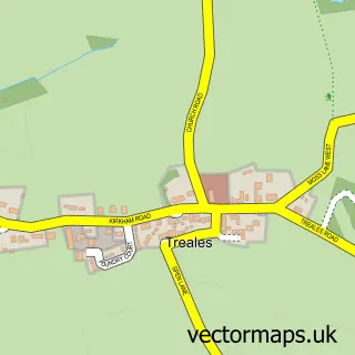
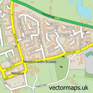
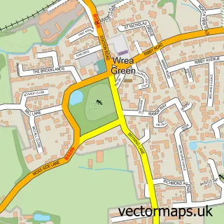
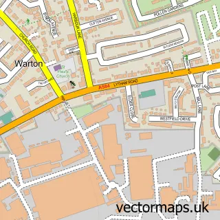
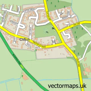
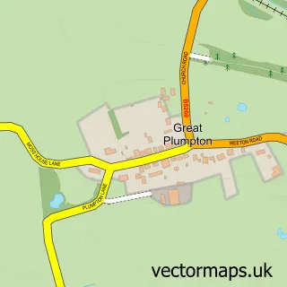
Nearby street map samples around Kirkham

More street maps in Lancashire
750 metre map area coverage
Boundary, postcode and point of interest information for the 750m x 750m rectangle centred on this sample map.
Boundaries containing map centre
Constituency: Fylde Co Const
County: Lancashire County
District: Fylde District (B)
Icb: NHS Lancashire and South Cumbria ICB
Parish: Kirkham CP
Police Force: lancashire
Postcode District: PR4
Postcode Sector: PR4 2
Ward: Kirkham Ward
Nearby boundaries intersecting sample
Parish: Treales, Roseacre and Wharles CP
Postcode Sector: PR4 3
Ward: Rural East Fylde Ward
Postcode coverage
POI category counts
Beauty Salon: 8
Pub: 8
Banks: 7
Professional Services: 7
Flowers And Gifts Shop: 5
Automotive Repair: 4
Bank Credit Union: 4
Beauty And Spa: 4
Coffee Shop: 4
Discount Store: 4
Sample points of interest
- Hollies Financial Services
- Kirkham Dance
- Kirkham & Wesham Advertiser
- Knight Soft Media
- Wrt Group
- Fylde Executive Cars Ltd
- Gee's Furniture & Antiques
- The Cooperative Food (BF) Kirkham, Kirkham
- William Segar Hodgson Playing Field
- Julian Voigt Aerial & Satellite
- Kenik Maintenance Solutions
- Griffith & Sharp Mortgage Services
Create a larger editable map of Kirkham
This sample shows only a 750 metre area. To create a larger map of Kirkham, use our map builder to choose your own coverage area, add titles and download editable SVG, PDF and PNG files.
Create a custom map of Kirkham