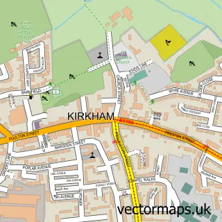
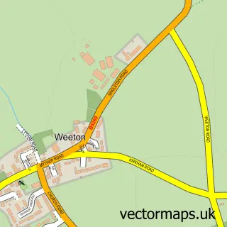
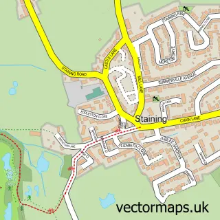
This Wrea Green street map is a detailed vector street map covering a 750m x 750m area. Select a larger area to create and download your own vector street map of Wrea Green.
The 750-metre map sample for Wrea Green covers 479 mapped buildings and approximately 13.8 km of road detail, of which 33 named roads are named. The immediate area includes 1 school, 2 GP surgeries within 2 miles, 6 pubs and 5 MOT stations within 2 miles. The wider area around Wrea Green features 2 tourism points of interest, 6 food and drink venues and 1 hotel. To create a larger or custom map of Wrea Green, the map builder lets you define your own coverage area and download editable SVG, PDF and PNG files.
Create a larger editable map of Wrea Green
Choose any area you need and generate a high-quality vector map instantly. Perfect for print, planning, design, business and personal use.

This Wrea Green street map in Lancashire is available as downloadable SVG, PDF and PNG map files, or as a printed map for planning, business, display, education, local information and design work. You can also create a larger custom map area using the map selector.
What this Wrea Green map sample shows
Wrea Green lies within Ribby-With-Wrea Cp parish, part of Ribby-With-Wrea ward in the Fylde District (B) local authority area. The postcode geography for this area includes the PR postcode area, the PR4 postcode district and the PR4 2 postcode sector. Residents fall under the Nhs Lancashire And South Cumbria Integrated Care Board for NHS services.
Local features near Wrea Green
Within 2 milesAmenities and services in and around Wrea Green.
Administrative and postcode information for Wrea Green
The local authority covering Wrea Green is Fylde District (B), within the county of Lancashire. The settlement lies within Ribby-With-Wrea ward and Ribby-With-Wrea Cp civil parish. The PR4 postcode district and PR4 2 postcode sector serve the immediate area. NHS provision in the area is delivered through Blackpool Teaching Hospitals Nhs Foundation Trust.
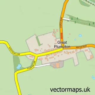
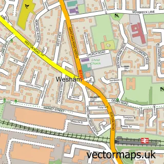
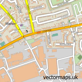
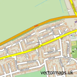
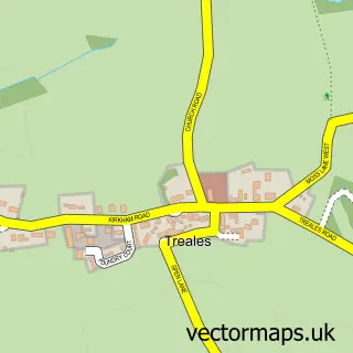
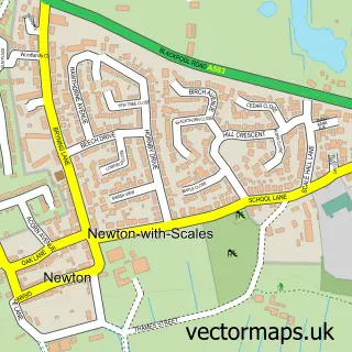
Nearby street map samples around Wrea Green

More street maps in Lancashire
750 metre map area coverage
Boundary, postcode and point of interest information for the 750m x 750m rectangle centred on this sample map.
Boundaries containing map centre
Constituency: Fylde Co Const
County: Lancashire County
District: Fylde District (B)
Icb: NHS Lancashire and South Cumbria ICB
Parish: Ribby-with-Wrea CP
Police Force: lancashire
Postcode District: PR4
Postcode Sector: PR4 2
Ward: Wrea Green with Westby Ward
Nearby boundaries intersecting sample
Parish: Westby-with-Plumptons CP
Postcode coverage
POI category counts
Pub: 6
Post Office: 3
Building Supply Store: 2
Caterer: 2
Elementary School: 2
Event Planning: 2
Hair Salon: 2
Active Life: 1
Appliance Store: 1
Automotive Repair: 1
Sample points of interest
- Wrea Green Duck Pond
- Premier Appliances
- Brook Mill Garage
- HB Machinery
- Chef & Brewer
- Bar and Grill
- Smooth As Silk Clinic
- Dizzy by Night Micro Pub
- Milo Books
- The One Stop Pub Shop aka NRS beer Systems Ltd.
- Dante Estates Ltd.
- As Good As Grass
Create a larger editable map of Wrea Green
This sample shows only a 750 metre area. To create a larger map of Wrea Green, use our map builder to choose your own coverage area, add titles and download editable SVG, PDF and PNG files.
Create a custom map of Wrea Green