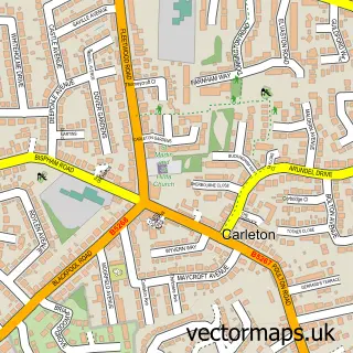
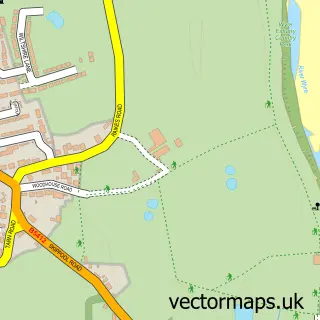
This Staining street map is a detailed vector street map covering a 750m x 750m area. Select a larger area to create and download your own vector street map of Staining.
The 750-metre map sample for Staining covers 370 mapped buildings and approximately 11.7 km of road detail, of which 24 named roads are named. The immediate area includes 1 school, 3 GP surgeries within 2 miles, 1 pub and 27 MOT stations within 2 miles. The wider area around Staining features 2 tourism points of interest, 1 food and drink venue and 1 hotel. To create a larger or custom map of Staining, the map builder lets you define your own coverage area and download editable SVG, PDF and PNG files.
Create a larger editable map of Staining
Choose any area you need and generate a high-quality vector map instantly. Perfect for print, planning, design, business and personal use.

This Staining street map in Lancashire is available as downloadable SVG, PDF and PNG map files, or as a printed map for planning, business, display, education, local information and design work. You can also create a larger custom map area using the map selector.
What this Staining map sample shows
Staining lies within Staining Cp parish, part of Staining And Weeton ward in the Fylde District (B) local authority area. The postcode geography for this area includes the FY postcode area, the FY3 postcode district and the FY3 0 postcode sector. Residents fall under the Nhs Lancashire And South Cumbria Integrated Care Board for NHS services.
Local features near Staining
Within 2 milesAmenities and services in and around Staining.
Administrative and postcode information for Staining
The local authority covering Staining is Fylde District (B), within the county of Lancashire. The settlement lies within Staining And Weeton ward and Staining Cp civil parish. The FY3 postcode district and FY3 0 postcode sector serve the immediate area. NHS provision in the area is delivered through Blackpool Teaching Hospitals Nhs Foundation Trust.
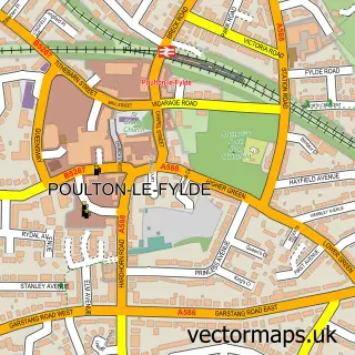
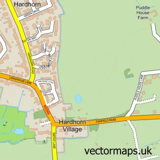
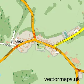
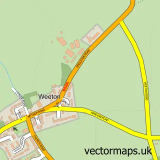
Nearby street map samples around Staining

More street maps in Lancashire
750 metre map area coverage
Boundary, postcode and point of interest information for the 750m x 750m rectangle centred on this sample map.
Boundaries containing map centre
Constituency: Fylde Co Const
County: Lancashire County
District: Fylde District (B)
Icb: NHS Lancashire and South Cumbria ICB
Parish: Staining CP
Police Force: lancashire
Postcode District: FY3
Postcode Sector: FY3 0
Ward: Staining Ward
Nearby boundaries intersecting sample
Constituency: Blackpool South Boro Const
District: Blackpool (B)
Postcode Sector: FY3 8
Ward: Marton Ward, Park Ward
Postcode coverage
POI category counts
Building Supply Store: 2
Scout Hall: 2
Advertising Agency: 1
Anglican Church: 1
Automotive Repair: 1
Bakery: 1
Beauty Salon: 1
Caterer: 1
Chinese Restaurant: 1
Contractor: 1
Sample points of interest
- Superchance Ltd
- St Luke's Church, Staining, FY3 OBW
- DB Car Trim
- Hollidays Microbakery
- Meraki Beauty Bar
- Elite Cleaning Services
- Macdale Squirrel
- Marley's Neapolitan Pizza
- New Golden Dragon
- West Coast Mainline
- Dr G Celikkol
- Staining Church of England Voluntary Controlled Primary School
Create a larger editable map of Staining
This sample shows only a 750 metre area. To create a larger map of Staining, use our map builder to choose your own coverage area, add titles and download editable SVG, PDF and PNG files.
Create a custom map of Staining