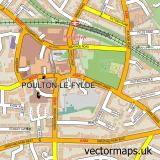
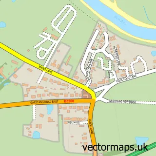
This Hardhorn street map is a detailed vector street map covering a 750m x 750m area. Select a larger area to create and download your own vector street map of Hardhorn.
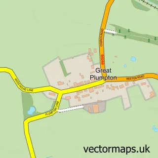
The 750-metre map sample for Hardhorn covers 232 mapped buildings and approximately 10.3 km of road detail, of which 14 named roads are named. The immediate area includes 4 GP surgeries within 2 miles and 14 MOT stations within 2 miles. The wider area around Hardhorn features 3 tourism points of interest and 1 hotel. To create a larger or custom map of Hardhorn, the map builder lets you define your own coverage area and download editable SVG, PDF and PNG files.
Create a larger editable map of Hardhorn
Choose any area you need and generate a high-quality vector map instantly. Perfect for print, planning, design, business and personal use.

This Hardhorn street map in Lancashire is available as downloadable SVG, PDF and PNG map files, or as a printed map for planning, business, display, education, local information and design work. You can also create a larger custom map area using the map selector.
What this Hardhorn map sample shows
Hardhorn lies within Lancashire County parish, part of Hardhorn With High Cross ward in the Wyre District (B) local authority area. The postcode geography for this area includes the FY postcode area, the FY3 postcode district and the FY3 7 postcode sector. Residents fall under the Nhs Lancashire And South Cumbria Integrated Care Board for NHS services.
Local features near Hardhorn
Within 2 milesAmenities and services in and around Hardhorn.
Administrative and postcode information for Hardhorn
Hardhorn lies within Lancashire County parish, part of Hardhorn With High Cross ward in the Wyre District (B) local authority area. The postcode geography for this area includes the FY postcode area, the FY3 postcode district and the FY3 7 postcode sector. Residents fall under the Nhs Lancashire And South Cumbria Integrated Care Board for NHS services.
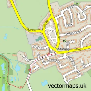
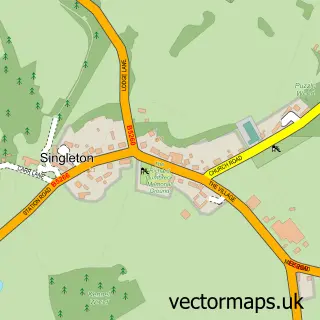
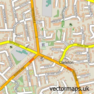
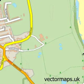
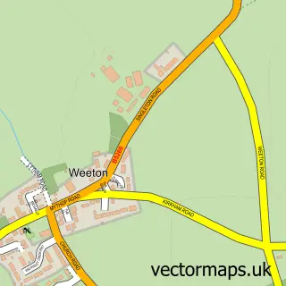
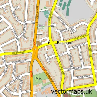
Nearby street map samples around Hardhorn

More street maps in Lancashire
750 metre map area coverage
Boundary, postcode and point of interest information for the 750m x 750m rectangle centred on this sample map.
Boundaries containing map centre
Constituency: Fylde Co Const
County: Lancashire County
District: Wyre District (B)
Icb: NHS Lancashire and South Cumbria ICB
Police Force: lancashire
Postcode District: FY6
Postcode Sector: FY6 8
Ward: Hardhorn with High Cross Ward
Nearby boundaries intersecting sample
District: Fylde District (B)
Parish: Staining CP
Ward: Staining Ward
Postcode coverage
POI category counts
Campground: 2
Active Life: 1
Aquatic Pet Store: 1
Automation Services: 1
Building Supply Store: 1
Carpet Store: 1
Caterer: 1
Contractor: 1
Fruits And Vegetables: 1
High School: 1
Sample points of interest
- Ayton Stud Livery & Dog Field
- Love Aquatics
- Zylogix
- A Sloggett Plumbing
- Hardhorn Breaks
- High Bank Farm
- Ardex Carpets Rugs Beds
- Gourmet Grazing Poulton
- Northern Cobblestone
- The Egg Shed At Hambleton
- Queensway Pre School
- Shard Riverside Inn
Create a larger editable map of Hardhorn
This sample shows only a 750 metre area. To create a larger map of Hardhorn, use our map builder to choose your own coverage area, add titles and download editable SVG, PDF and PNG files.
Create a custom map of Hardhorn