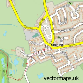
This Singleton street map is a detailed vector street map covering a 750m x 750m area. Select a larger area to create and download your own vector street map of Singleton.
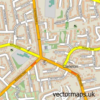
The 750-metre map sample for Singleton covers 73 mapped buildings and approximately 7.7 km of road detail, of which 6 named roads are named. The immediate area includes 1 school, 2 pubs and 7 MOT stations within 2 miles. The wider area around Singleton features 1 tourism point of interest and 2 food and drink venues. To create a larger or custom map of Singleton, the map builder lets you define your own coverage area and download editable SVG, PDF and PNG files.
Create a larger editable map of Singleton
Choose any area you need and generate a high-quality vector map instantly. Perfect for print, planning, design, business and personal use.

This Singleton street map in Lancashire is available as downloadable SVG, PDF and PNG map files, or as a printed map for planning, business, display, education, local information and design work. You can also create a larger custom map area using the map selector.
What this Singleton map sample shows
Singleton lies within Singleton Cp parish, part of Singleton And Greenhalgh ward in the Fylde District (B) local authority area. The postcode geography for this area includes the FY postcode area, the FY6 postcode district and the FY6 8 postcode sector. Residents fall under the Nhs Lancashire And South Cumbria Integrated Care Board for NHS services.
Local features near Singleton
Within 2 milesAmenities and services in and around Singleton.
Administrative and postcode information for Singleton
Singleton lies within Singleton Cp parish, part of Singleton And Greenhalgh ward in the Fylde District (B) local authority area. The postcode geography for this area includes the FY postcode area, the FY6 postcode district and the FY6 8 postcode sector. Residents fall under the Nhs Lancashire And South Cumbria Integrated Care Board for NHS services.
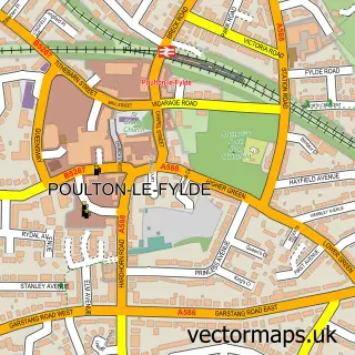
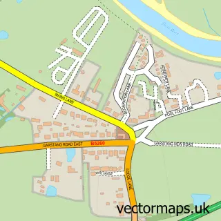
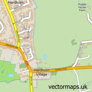
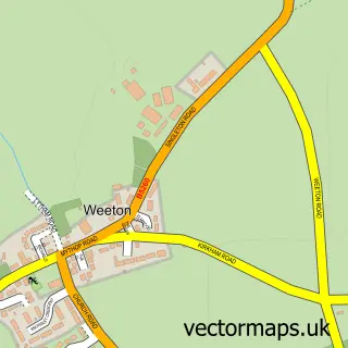
Nearby street map samples around Singleton

More street maps in Lancashire
750 metre map area coverage
Boundary, postcode and point of interest information for the 750m x 750m rectangle centred on this sample map.
Boundaries containing map centre
Constituency: Fylde Co Const
County: Lancashire County
District: Fylde District (B)
Icb: NHS Lancashire and South Cumbria ICB
Parish: Singleton CP
Police Force: lancashire
Postcode District: FY6
Postcode Sector: FY6 8
Ward: Rural North Fylde Ward
Nearby boundaries intersecting sample
No additional intersecting boundaries found.
Postcode coverage
POI category counts
Elementary School: 3
Pub: 2
Active Life: 1
Adult Education: 1
Arts And Entertainment: 1
Education: 1
Pet Services: 1
Theme Restaurant: 1
Tours: 1
Travel: 1
Sample points of interest
- Singleton Cloggers
- Thesis Writing Service
- Singleton Village Hall
- Singleton School
- Acorns Singleton
- Singleton C of E Primary School
- Singleton VA Primary School
- Manor Farm small animal boarding
- Miller Arms
- The Miller Arms
- Miller Arms Singleton
- Singleton Maize Maze
Create a larger editable map of Singleton
This sample shows only a 750 metre area. To create a larger map of Singleton, use our map builder to choose your own coverage area, add titles and download editable SVG, PDF and PNG files.
Create a custom map of Singleton