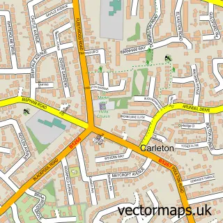
This Poulton-le-Fylde street map is a detailed vector street map covering a 750m x 750m area. Select a larger area to create and download your own vector street map of Poulton-le-Fylde.
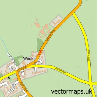
The 750-metre map sample for Poulton-le-Fylde covers 530 mapped buildings and approximately 20.1 km of road detail, of which 53 named roads are named. The immediate area includes 1 school, 1 railway station, 1 GP surgery, with 7 within 2 miles and 13 pubs among other local services. The wider area around Poulton-le-Fylde features 2 tourism points of interest, 30 food and drink venues and 1 hotel. To create a larger or custom map of Poulton-le-Fylde, the map builder lets you define your own coverage area and download editable SVG, PDF and PNG files.
Create a larger editable map of Poulton-le-Fylde
Choose any area you need and generate a high-quality vector map instantly. Perfect for print, planning, design, business and personal use.

This Poulton-le-Fylde street map in Lancashire is available as downloadable SVG, PDF and PNG map files, or as a printed map for planning, business, display, education, local information and design work. You can also create a larger custom map area using the map selector.
What this Poulton-le-Fylde map sample shows
Poulton-le-Fylde lies within Lancashire County parish, part of Breck ward in the Wyre District (B) local authority area. The postcode geography for this area includes the FY postcode area, the FY6 postcode district and the FY6 8 postcode sector. Residents fall under the Nhs Lancashire And South Cumbria Integrated Care Board for NHS services.
Local features near Poulton-le-Fylde
Within 2 milesAmenities and services in and around Poulton-le-Fylde.
Administrative and postcode information for Poulton-le-Fylde
Poulton-le-Fylde lies within Lancashire County parish, part of Breck ward in the Wyre District (B) local authority area. The postcode geography for this area includes the FY postcode area, the FY6 postcode district and the FY6 8 postcode sector. Residents fall under the Nhs Lancashire And South Cumbria Integrated Care Board for NHS services.
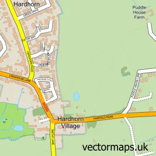
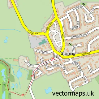
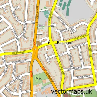
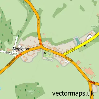
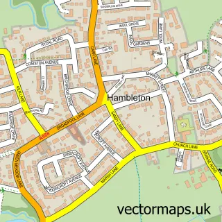
Nearby street map samples around Poulton-le-Fylde

More street maps in Lancashire
750 metre map area coverage
Boundary, postcode and point of interest information for the 750m x 750m rectangle centred on this sample map.
Boundaries containing map centre
Constituency: Fylde Co Const
County: Lancashire County
District: Wyre District (B)
Icb: NHS Lancashire and South Cumbria ICB
Police Force: lancashire
Postcode District: FY6
Postcode Sector: FY6 7
Ward: Breck Ward
Nearby boundaries intersecting sample
Postcode Sector: FY6 8
Ward: Hardhorn with High Cross Ward, Tithebarn Ward
Postcode coverage
POI category counts
Pub: 13
Hair Salon: 11
Professional Services: 10
Bar: 8
Flowers And Gifts Shop: 8
Real Estate Agent: 8
Banks: 7
Barber: 7
Cafe: 7
Bank Credit Union: 6
Sample points of interest
- J D Mercer & Co.
- Jane Lynch Accountancy Services
- Lisa Benson Accountancy Services Ltd.
- Lisa Benson Accountancy Services Ltd.
- Carrbridge Stables /Racheal Quinn
- Poulton Gala
- ArcMedia
- Estates and Law dp Ltd
- Reiki & Meridian Therapy
- Bijou Lux
- Breck Apartments
- The Lemon Tree
Create a larger editable map of Poulton-le-Fylde
This sample shows only a 750 metre area. To create a larger map of Poulton-le-Fylde, use our map builder to choose your own coverage area, add titles and download editable SVG, PDF and PNG files.
Create a custom map of Poulton-le-Fylde