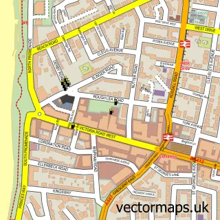
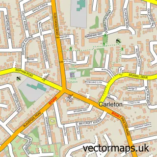
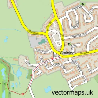
This Bispham street map is a detailed vector street map covering a 750m x 750m area. Select a larger area to create and download your own vector street map of Bispham.
The 750-metre map sample for Bispham covers 655 mapped buildings and approximately 23.2 km of road detail, of which 47 named roads are named. The immediate area includes 2 schools, 8 GP surgeries within 2 miles, 3 pubs and 1 MOT station, with 16 within 2 miles. The wider area around Bispham features 2 tourism points of interest, 8 food and drink venues and 1 hotel. To create a larger or custom map of Bispham, the map builder lets you define your own coverage area and download editable SVG, PDF and PNG files.
Create a larger editable map of Bispham
Choose any area you need and generate a high-quality vector map instantly. Perfect for print, planning, design, business and personal use.

This Bispham street map in Lancashire is available as downloadable SVG, PDF and PNG map files, or as a printed map for planning, business, display, education, local information and design work. You can also create a larger custom map area using the map selector.
What this Bispham map sample shows
Bispham lies within Blackpool (B) parish, part of Norbreck ward in the Blackpool (B) local authority area. The postcode geography for this area includes the FY postcode area, the FY2 postcode district and the FY2 9 postcode sector. Residents fall under the Nhs Lancashire And South Cumbria Integrated Care Board for NHS services.
Local features near Bispham
Within 2 milesAmenities and services in and around Bispham.
Administrative and postcode information for Bispham
Bispham lies within Blackpool (B) parish, part of Norbreck ward in the Blackpool (B) local authority area. The postcode geography for this area includes the FY postcode area, the FY2 postcode district and the FY2 9 postcode sector. Residents fall under the Nhs Lancashire And South Cumbria Integrated Care Board for NHS services.
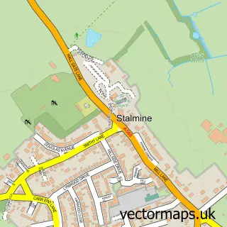
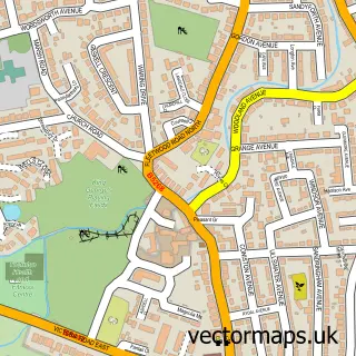
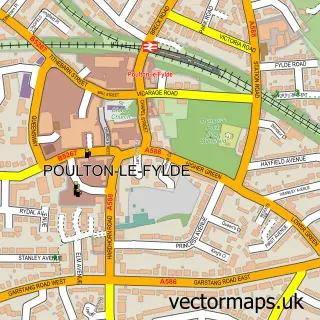
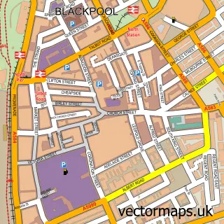
Nearby street map samples around Bispham

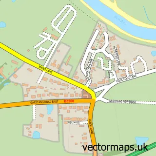
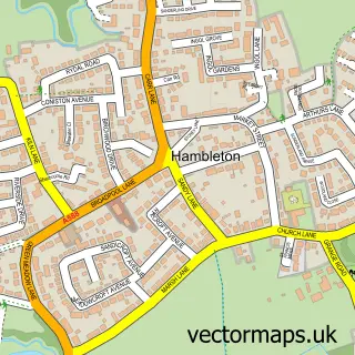
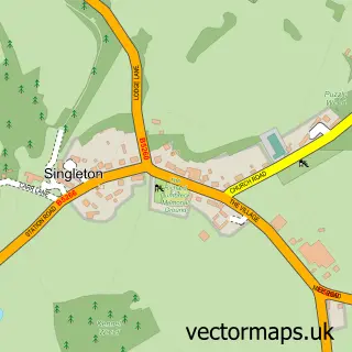
More street maps in Lancashire
750 metre map area coverage
Boundary, postcode and point of interest information for the 750m x 750m rectangle centred on this sample map.
Boundaries containing map centre
Constituency: Blackpool North and Fleetwood Boro Const
District: Blackpool (B)
Icb: NHS Lancashire and South Cumbria ICB
Police Force: lancashire
Postcode District: FY2
Postcode Sector: FY2 0
Ward: Ingthorpe Ward
Nearby boundaries intersecting sample
Postcode Sector: FY2 9
Ward: Bispham Ward
Postcode coverage
POI category counts
Beauty Salon: 7
Bakery: 5
Professional Services: 5
Building Supply Store: 4
Dance School: 3
Elementary School: 3
Gas Station: 3
It Service And Computer Repair: 3
Pub: 3
Atms: 2
Sample points of interest
- North West Budo Academy - Multi Style Martial Arts
- Age UK
- Jasmine Oriental Fusion
- Rontec - Fiveways (SWAP), Bispham
- Santander
- Bubbles Carwash Blackpool
- FyldeAuto Valets
- Affordable Services
- Steamy Windows
- Ultimate Car Parts
- Bispham Test Centre
- Blackpool Communications
Create a larger editable map of Bispham
This sample shows only a 750 metre area. To create a larger map of Bispham, use our map builder to choose your own coverage area, add titles and download editable SVG, PDF and PNG files.
Create a custom map of Bispham