This Blackpool street map is a detailed vector street map covering a 750m x 750m area. Select a larger area to create and download your own vector street map of Blackpool.
The 750-metre map sample for Blackpool covers 165 mapped buildings and approximately 26.6 km of road detail, of which 57 named roads are named. The immediate area includes 1 school, 2 railway stations, 2 GP surgeries, with 9 within 2 miles and 48 pubs among other local services. The wider area around Blackpool features 13 tourism points of interest, 129 food and drink venues and 137 hotels. To create a larger or custom map of Blackpool, the map builder lets you define your own coverage area and download editable SVG, PDF and PNG files.
Create a larger editable map of Blackpool
Choose any area you need and generate a high-quality vector map instantly. Perfect for print, planning, design, business and personal use.

This Blackpool street map in Lancashire is available as downloadable SVG, PDF and PNG map files, or as a printed map for planning, business, display, education, local information and design work. You can also create a larger custom map area using the map selector.
What this Blackpool map sample shows
Blackpool lies within Blackpool (B) parish, part of Claremont ward in the Blackpool (B) local authority area. The postcode geography for this area includes the FY postcode area, the FY1 postcode district and the FY1 1 postcode sector. Residents fall under the Nhs Lancashire And South Cumbria Integrated Care Board for NHS services.
Local features near Blackpool
Within 2 milesAmenities and services in and around Blackpool.
Administrative and postcode information for Blackpool
Blackpool lies within Blackpool (B) parish, part of Claremont ward in the Blackpool (B) local authority area. The postcode geography for this area includes the FY postcode area, the FY1 postcode district and the FY1 1 postcode sector. Residents fall under the Nhs Lancashire And South Cumbria Integrated Care Board for NHS services.
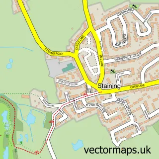
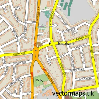
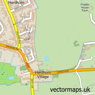
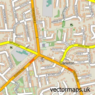
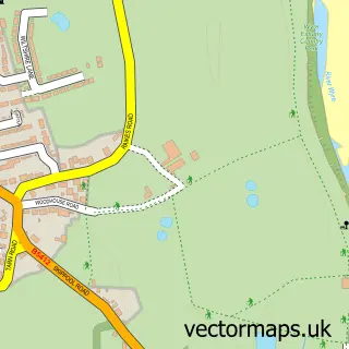
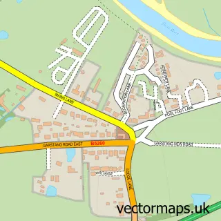
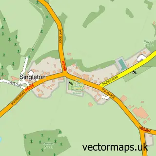
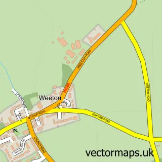
Nearby street map samples around Blackpool

More street maps in Lancashire
750 metre map area coverage
Boundary, postcode and point of interest information for the 750m x 750m rectangle centred on this sample map.
Boundaries containing map centre
Constituency: Blackpool South Boro Const
District: Blackpool (B)
Icb: NHS Lancashire and South Cumbria ICB
Police Force: lancashire
Postcode District: FY1
Postcode Sector: FY1 1
Ward: Talbot Ward
Nearby boundaries intersecting sample
Postcode Sector: FY1 2, FY1 3, FY1 4, FY1 5
Ward: Brunswick Ward, Claremont Ward
Postcode coverage
POI category counts
Hotel: 135
Clothing Store: 50
Pub: 48
Bed And Breakfast: 44
Bar: 40
Cafe: 34
Coffee Shop: 26
Fast Food Restaurant: 24
Mobile Phone Store: 23
Restaurant: 21
Sample points of interest
- Fingerprints
- Rooms for Contractors Blackpool
- World Dance Masters
- ALPS accountancy
- Horne Brooke Shenton
- James Knowles and Co
- Kasion Accounting Solutions Ltd.
- Blackpool North Promande
- Brooklyns's Blackpool
- Secrets Blackpool
- Sinless Lap Dancing
- Ann Summers
Create a larger editable map of Blackpool
This sample shows only a 750 metre area. To create a larger map of Blackpool, use our map builder to choose your own coverage area, add titles and download editable SVG, PDF and PNG files.
Create a custom map of Blackpool