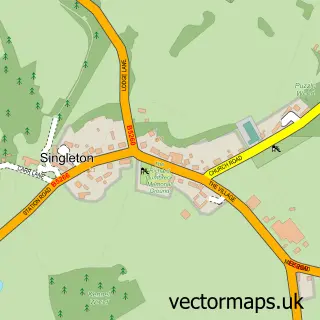
This Elswick street map is a detailed vector street map covering a 750m x 750m area. Select a larger area to create and download your own vector street map of Elswick.
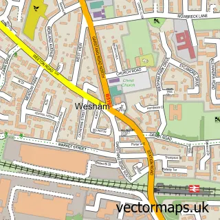
The 750-metre map sample for Elswick covers 353 mapped buildings and approximately 12.0 km of road detail, of which 22 named roads are named. The immediate area includes 1 GP surgery within 2 miles, 3 pubs and 1 MOT station, with 2 within 2 miles. The wider area around Elswick features 1 tourism point of interest and 3 food and drink venues. To create a larger or custom map of Elswick, the map builder lets you define your own coverage area and download editable SVG, PDF and PNG files.
Create a larger editable map of Elswick
Choose any area you need and generate a high-quality vector map instantly. Perfect for print, planning, design, business and personal use.

This Elswick street map in Lancashire is available as downloadable SVG, PDF and PNG map files, or as a printed map for planning, business, display, education, local information and design work. You can also create a larger custom map area using the map selector.
What this Elswick map sample shows
Elswick lies within Elswick Cp parish, part of Elswick And Little Eccleston ward in the Fylde District (B) local authority area. The postcode geography for this area includes the PR postcode area, the PR4 postcode district and the PR4 3 postcode sector. Residents fall under the Nhs Lancashire And South Cumbria Integrated Care Board for NHS services.
Local features near Elswick
Within 2 milesAmenities and services in and around Elswick.
Administrative and postcode information for Elswick
The local authority covering Elswick is Fylde District (B), within the county of Lancashire. The settlement lies within Elswick And Little Eccleston ward and Elswick Cp civil parish. The PR4 postcode district and PR4 3 postcode sector serve the immediate area. NHS provision in the area is delivered through Blackpool Teaching Hospitals Nhs Foundation Trust.
Nearby street map samples around Elswick

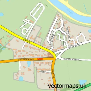
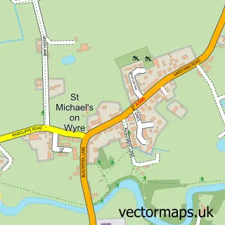
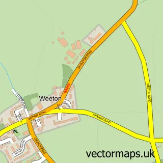
More street maps in Lancashire
750 metre map area coverage
Boundary, postcode and point of interest information for the 750m x 750m rectangle centred on this sample map.
Boundaries containing map centre
Constituency: Fylde Co Const
County: Lancashire County
District: Fylde District (B)
Icb: NHS Lancashire and South Cumbria ICB
Parish: Elswick CP
Police Force: lancashire
Postcode District: PR4
Postcode Sector: PR4 3
Ward: Rural North Fylde Ward
Nearby boundaries intersecting sample
No additional intersecting boundaries found.
Postcode coverage
POI category counts
Pub: 3
Contractor: 2
Ice Cream Shop: 2
Bar: 1
Beauty Product Supplier: 1
Car Dealer: 1
Church Cathedral: 1
Day Care Preschool: 1
Food Delivery Service: 1
Hair Salon: 1
Sample points of interest
- The Boot & Shoe Inn
- Little Paris Beauty
- Blackport Motors
- Elswick Memorial United Reformed Church
- HNJ Baines Contractor
- R&R Cavity Insulation Removal Specialist Ltd
- Tiggywinkles Day Nursery
- Evri ParcelShop
- Niamh Elizabeth Hairdressing
- Bonds Ice Cream Parlour-Elswick
- Bonds of Elswick
- Elswick garden machinery
Create a larger editable map of Elswick
This sample shows only a 750 metre area. To create a larger map of Elswick, use our map builder to choose your own coverage area, add titles and download editable SVG, PDF and PNG files.
Create a custom map of Elswick