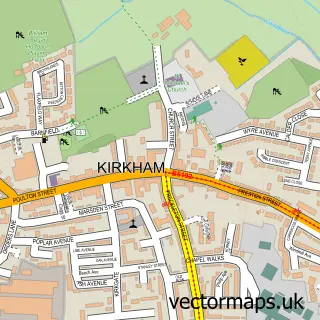
This Warton street map is a detailed vector street map covering a 750m x 750m area. Select a larger area to create and download your own vector street map of Warton.
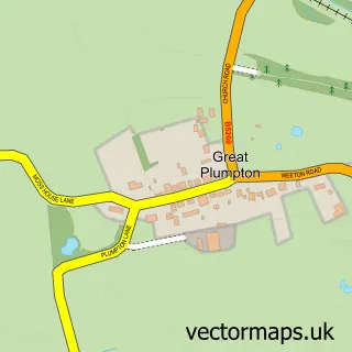
The 750-metre map sample for Warton covers 404 mapped buildings and approximately 13.4 km of road detail, of which 26 named roads are named. The immediate area includes 2 schools, 3 pubs and 1 MOT station, with 5 within 2 miles. The wider area around Warton features 1 tourism point of interest and 6 food and drink venues. To create a larger or custom map of Warton, the map builder lets you define your own coverage area and download editable SVG, PDF and PNG files.
Create a larger editable map of Warton
Choose any area you need and generate a high-quality vector map instantly. Perfect for print, planning, design, business and personal use.

This Warton street map in Lancashire is available as downloadable SVG, PDF and PNG map files, or as a printed map for planning, business, display, education, local information and design work. You can also create a larger custom map area using the map selector.
What this Warton map sample shows
Warton lies within Bryning-With-Warton Cp parish, part of Warton And Westby ward in the Fylde District (B) local authority area. The postcode geography for this area includes the PR postcode area, the PR4 postcode district and the PR4 1 postcode sector. Residents fall under the Nhs Lancashire And South Cumbria Integrated Care Board for NHS services.
Local features near Warton
Within 2 milesAmenities and services in and around Warton.
Administrative and postcode information for Warton
The local authority covering Warton is Fylde District (B), within the county of Lancashire. The settlement lies within Warton And Westby ward and Bryning-With-Warton Cp civil parish. The PR4 postcode district and PR4 1 postcode sector serve the immediate area. NHS provision in the area is delivered through Blackpool Teaching Hospitals Nhs Foundation Trust.
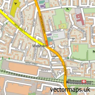
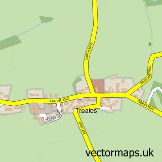
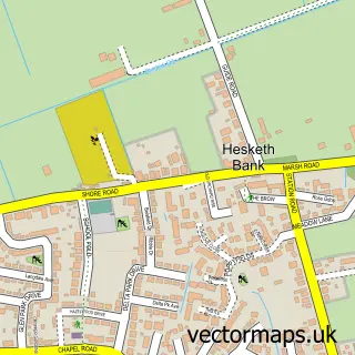
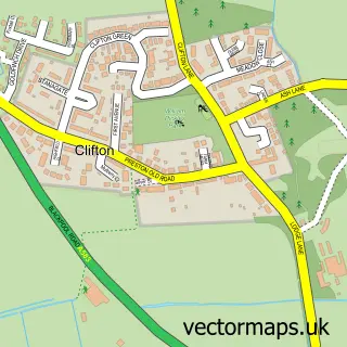
Nearby street map samples around Warton

More street maps in Lancashire
750 metre map area coverage
Boundary, postcode and point of interest information for the 750m x 750m rectangle centred on this sample map.
Boundaries containing map centre
Constituency: Fylde Co Const
County: Lancashire County
District: Fylde District (B)
Icb: NHS Lancashire and South Cumbria ICB
Parish: Bryning-with-Warton CP
Police Force: lancashire
Postcode District: PR4
Postcode Sector: PR4 1
Ward: Warton Ward
Nearby boundaries intersecting sample
No additional intersecting boundaries found.
Postcode coverage
POI category counts
Convenience Store: 3
Gym: 3
Pub: 3
Anglican Church: 2
Atms: 2
Business To Business Services: 2
Cafe: 2
Elementary School: 2
Funeral Services And Cemeteries: 2
Hair Salon: 2
Sample points of interest
- Warton Airport
- Fylde Airport Cars
- St Paul's Church
- St Paul's Warton
- Foodie Fusion
- BAE Aerodrome Warton
- Morrisons Daily - Warton, Warton
- Coachtec Ltd
- Lloyds Bank
- Lloyds Bank
- The Frog & Blackbird
- Walmsley Barber Shop Warton
Create a larger editable map of Warton
This sample shows only a 750 metre area. To create a larger map of Warton, use our map builder to choose your own coverage area, add titles and download editable SVG, PDF and PNG files.
Create a custom map of Warton