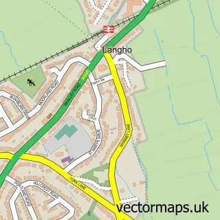
This Great Harwood street map is a detailed vector street map covering a 750m x 750m area. Select a larger area to create and download your own vector street map of Great Harwood.
The 750-metre map sample for Great Harwood covers 377 mapped buildings and approximately 26.4 km of road detail, of which 82 named roads are named. The immediate area includes 1 school, 1 GP surgery, with 3 within 2 miles, 8 pubs and 1 MOT station, with 9 within 2 miles. The wider area around Great Harwood features 1 tourism point of interest, 17 food and drink venues and 2 hotels. To create a larger or custom map of Great Harwood, the map builder lets you define your own coverage area and download editable SVG, PDF and PNG files.
Create a larger editable map of Great Harwood
Choose any area you need and generate a high-quality vector map instantly. Perfect for print, planning, design, business and personal use.

This Great Harwood street map in Lancashire is available as downloadable SVG, PDF and PNG map files, or as a printed map for planning, business, display, education, local information and design work. You can also create a larger custom map area using the map selector.
What this Great Harwood map sample shows
Great Harwood lies within Lancashire County parish, part of Overton ward in the Hyndburn District (B) local authority area. The postcode geography for this area includes the BB postcode area, the BB6 postcode district and the BB6 7 postcode sector. Residents fall under the Nhs Lancashire And South Cumbria Integrated Care Board for NHS services.
Local features near Great Harwood
Within 2 milesAmenities and services in and around Great Harwood.
Administrative and postcode information for Great Harwood
Great Harwood lies within Lancashire County parish, part of Overton ward in the Hyndburn District (B) local authority area. The postcode geography for this area includes the BB postcode area, the BB6 postcode district and the BB6 7 postcode sector. Residents fall under the Nhs Lancashire And South Cumbria Integrated Care Board for NHS services.
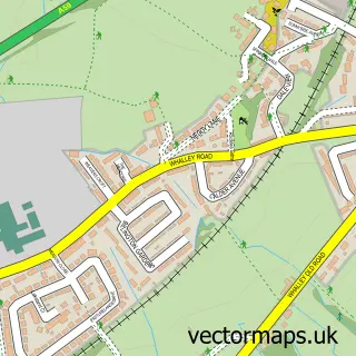
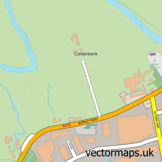
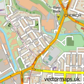
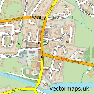
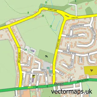
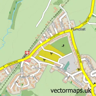
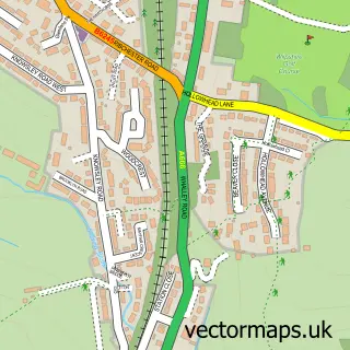
Nearby street map samples around Great Harwood

More street maps in Lancashire
750 metre map area coverage
Boundary, postcode and point of interest information for the 750m x 750m rectangle centred on this sample map.
Boundaries containing map centre
Constituency: Hyndburn Co Const
County: Lancashire County
District: Hyndburn District (B)
Icb: NHS Lancashire and South Cumbria ICB
Police Force: lancashire
Postcode District: BB6
Postcode Sector: BB6 7
Ward: Overton Ward
Nearby boundaries intersecting sample
Ward: Netherton Ward
Postcode coverage
POI category counts
Beauty Salon: 19
Beauty And Spa: 10
Hair Salon: 9
Pub: 8
Banks: 6
Church Cathedral: 6
Fast Food Restaurant: 5
Professional Services: 5
Bar: 4
Dentist: 4
Sample points of interest
- Taylored Pet Therapies
- ADHD North West
- Kongs City Cantonese Restaurant
- Benny Charlesworth
- Aquascope
- Rainbow Gallery
- Mill Lodge
- ATM (Post Office)
- Payzone
- Vinyl Touch
- Quality German Car Parts
- Swiftlease
Create a larger editable map of Great Harwood
This sample shows only a 750 metre area. To create a larger map of Great Harwood, use our map builder to choose your own coverage area, add titles and download editable SVG, PDF and PNG files.
Create a custom map of Great Harwood