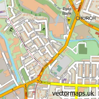
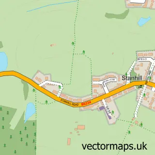
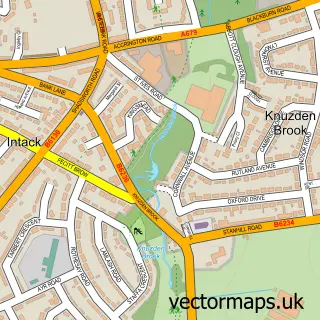
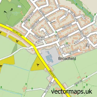
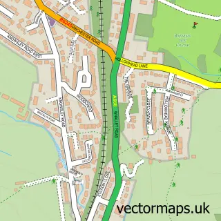
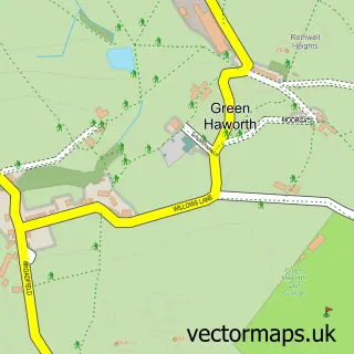
This Rishton street map is a detailed vector street map covering a 750m x 750m area. Select a larger area to create and download your own vector street map of Rishton.
The 750-metre map sample for Rishton covers 495 mapped buildings and approximately 23.3 km of road detail, of which 66 named roads are named. The immediate area includes 4 schools, 1 GP surgery, with 9 within 2 miles, 3 pubs and 1 MOT station, with 27 within 2 miles. The wider area around Rishton features 8 food and drink venues. To create a larger or custom map of Rishton, the map builder lets you define your own coverage area and download editable SVG, PDF and PNG files.
Create a larger editable map of Rishton
Choose any area you need and generate a high-quality vector map instantly. Perfect for print, planning, design, business and personal use.

This Rishton street map in Lancashire is available as downloadable SVG, PDF and PNG map files, or as a printed map for planning, business, display, education, local information and design work. You can also create a larger custom map area using the map selector.
What this Rishton map sample shows
Rishton lies within Lancashire County parish, part of Rishton ward in the Hyndburn District (B) local authority area. The postcode geography for this area includes the BB postcode area, the BB1 postcode district and the BB1 4 postcode sector. Residents fall under the Nhs Lancashire And South Cumbria Integrated Care Board for NHS services.
Local features near Rishton
Within 2 milesAmenities and services in and around Rishton.
Administrative and postcode information for Rishton
Rishton lies within Lancashire County parish, part of Rishton ward in the Hyndburn District (B) local authority area. The postcode geography for this area includes the BB postcode area, the BB1 postcode district and the BB1 4 postcode sector. Residents fall under the Nhs Lancashire And South Cumbria Integrated Care Board for NHS services.
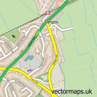
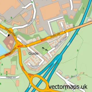
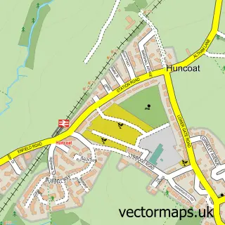
Nearby street map samples around Rishton

More street maps in Lancashire
750 metre map area coverage
Boundary, postcode and point of interest information for the 750m x 750m rectangle centred on this sample map.
Boundaries containing map centre
Constituency: Hyndburn Co Const
County: Lancashire County
District: Hyndburn District (B)
Icb: NHS Lancashire and South Cumbria ICB
Police Force: lancashire
Postcode District: BB1
Postcode Sector: BB1 4
Ward: Rishton Ward
Nearby boundaries intersecting sample
No additional intersecting boundaries found.
Postcode coverage
POI category counts
Hair Salon: 7
Convenience Store: 6
Automotive Repair: 4
Beauty And Spa: 4
Beauty Salon: 4
Cafe: 4
Elementary School: 4
Employment Agencies: 4
Fish And Chips Restaurant: 4
Furniture Store: 3
Sample points of interest
- G8 Accounting Ltd
- Elbus Marketing
- St Peter & St Paul
- Eachill Gardens Sheltered Housing
- Rockmount Northwest
- ATM (Post Office)
- Payzone
- Burns Contracting (Barrow) Ltd.
- Wired For Living
- Mercedes-Benz of Blackburn
- Auto Radiators Rishton
- Columbia Motors
Create a larger editable map of Rishton
This sample shows only a 750 metre area. To create a larger map of Rishton, use our map builder to choose your own coverage area, add titles and download editable SVG, PDF and PNG files.
Create a custom map of Rishton