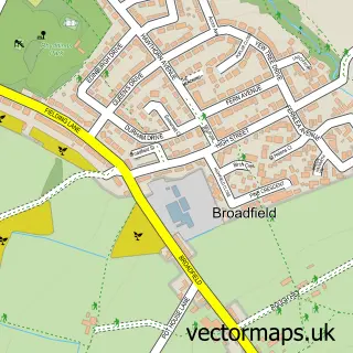
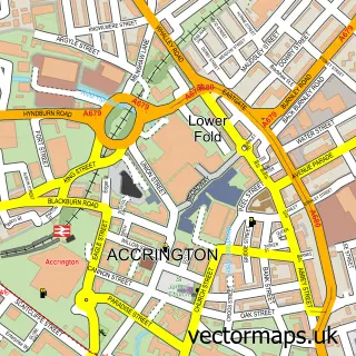
This Green Haworth street map is a detailed vector street map covering a 750m x 750m area. Select a larger area to create and download your own vector street map of Green Haworth.
The 750-metre map sample for Green Haworth covers 61 mapped buildings and approximately 5.3 km of road detail, of which 4 named roads are named. The immediate area includes 1 school, 9 GP surgeries within 2 miles and 19 MOT stations within 2 miles. To create a larger or custom map of Green Haworth, the map builder lets you define your own coverage area and download editable SVG, PDF and PNG files.
Create a larger editable map of Green Haworth
Choose any area you need and generate a high-quality vector map instantly. Perfect for print, planning, design, business and personal use.

This Green Haworth street map in Lancashire is available as downloadable SVG, PDF and PNG map files, or as a printed map for planning, business, display, education, local information and design work. You can also create a larger custom map area using the map selector.
What this Green Haworth map sample shows
Green Haworth lies within Lancashire County parish, part of Baxenden ward in the Hyndburn District (B) local authority area. The postcode geography for this area includes the BB postcode area, the BB5 postcode district and the BB5 2 postcode sector. Residents fall under the Nhs Lancashire And South Cumbria Integrated Care Board for NHS services.
Local features near Green Haworth
Within 2 milesAmenities and services in and around Green Haworth.
Administrative and postcode information for Green Haworth
Green Haworth lies within Lancashire County parish, part of Baxenden ward in the Hyndburn District (B) local authority area. The postcode geography for this area includes the BB postcode area, the BB5 postcode district and the BB5 2 postcode sector. Residents fall under the Nhs Lancashire And South Cumbria Integrated Care Board for NHS services.
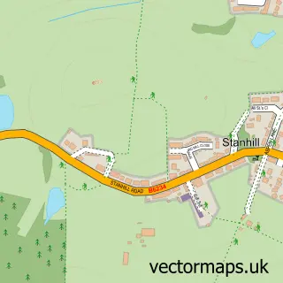
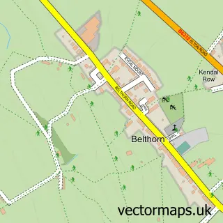
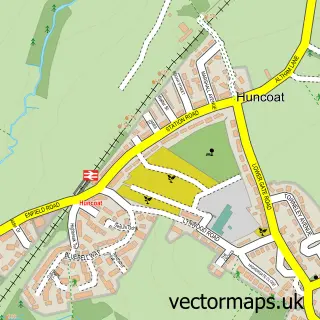
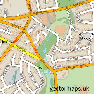
Nearby street map samples around Green Haworth


More street maps in Lancashire
750 metre map area coverage
Boundary, postcode and point of interest information for the 750m x 750m rectangle centred on this sample map.
Boundaries containing map centre
Constituency: Hyndburn Co Const
County: Lancashire County
District: Hyndburn District (B)
Icb: NHS Lancashire and South Cumbria ICB
Police Force: lancashire
Postcode District: BB5
Postcode Sector: BB5 3
Ward: Immanuel Ward
Nearby boundaries intersecting sample
No additional intersecting boundaries found.
Postcode coverage
POI category counts
Automotive Repair: 2
Golf Course: 2
Anglican Church: 1
Car Dealer: 1
Dog Walkers: 1
Electrician: 1
Elementary School: 1
Farm: 1
Home Goods Store: 1
Horse Boarding: 1
Sample points of interest
- St Clement
- KCL Industries Ltd
- KCL Truck & Trailer
- Green Haworth Cars
- Doggy Bray Care
- A Bee Electrical
- Green Haworth Church of England Primary School
- Biggins Farm Park
- Green Haworth Golf Club
- Green Haworth Golf Club
- K C L Truck Trailer Parts
- Spring Vale Livery
Create a larger editable map of Green Haworth
This sample shows only a 750 metre area. To create a larger map of Green Haworth, use our map builder to choose your own coverage area, add titles and download editable SVG, PDF and PNG files.
Create a custom map of Green Haworth