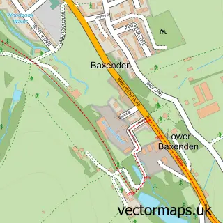
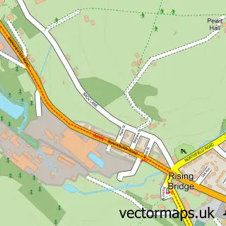
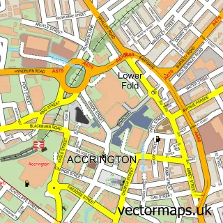
This Broadfield street map is a detailed vector street map covering a 750m x 750m area. Select a larger area to create and download your own vector street map of Broadfield.
The 750-metre map sample for Broadfield covers 345 mapped buildings and approximately 12.6 km of road detail, of which 31 named roads are named. The immediate area includes 9 GP surgeries within 2 miles, 2 pubs and 20 MOT stations within 2 miles. The wider area around Broadfield features 1 tourism point of interest and 2 food and drink venues. To create a larger or custom map of Broadfield, the map builder lets you define your own coverage area and download editable SVG, PDF and PNG files.
Create a larger editable map of Broadfield
Choose any area you need and generate a high-quality vector map instantly. Perfect for print, planning, design, business and personal use.

This Broadfield street map in Lancashire is available as downloadable SVG, PDF and PNG map files, or as a printed map for planning, business, display, education, local information and design work. You can also create a larger custom map area using the map selector.
What this Broadfield map sample shows
Broadfield lies within Lancashire County parish, part of St Andrew's ward in the Hyndburn District (B) local authority area. The postcode geography for this area includes the BB postcode area, the BB5 postcode district and the BB5 3 postcode sector. Residents fall under the Nhs Lancashire And South Cumbria Integrated Care Board for NHS services.
Local features near Broadfield
Within 2 milesAmenities and services in and around Broadfield.
Administrative and postcode information for Broadfield
The local authority covering Broadfield is Hyndburn District (B), within the county of Lancashire. The settlement lies within St Andrew's ward and Lancashire County civil parish. The BB5 postcode district and BB5 3 postcode sector serve the immediate area. NHS provision in the area is delivered through East Lancashire Hospitals Nhs Trust.
Nearby street map samples around Broadfield


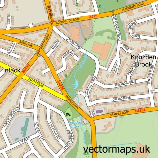
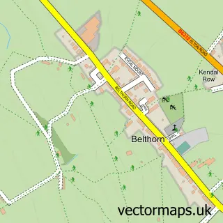
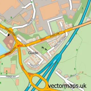
More street maps in Lancashire
750 metre map area coverage
Boundary, postcode and point of interest information for the 750m x 750m rectangle centred on this sample map.
Boundaries containing map centre
Constituency: Hyndburn Co Const
County: Lancashire County
District: Hyndburn District (B)
Icb: NHS Lancashire and South Cumbria ICB
Police Force: lancashire
Postcode District: BB5
Postcode Sector: BB5 3
Ward: Immanuel Ward
Nearby boundaries intersecting sample
Postcode Sector: BB5 0
Ward: Spring Hill Ward, St. Andrew's Ward
Postcode coverage
POI category counts
Pub: 2
Yoga Studio: 2
Art Gallery: 1
Beverage Store: 1
Building Supply Store: 1
Car Dealer: 1
Charity Organization: 1
Contractor: 1
Counseling And Mental Health: 1
Dentist: 1
Sample points of interest
- Townsend Gallery
- The Stop & Rest Inn
- Ascent Scaffolding UK
- Broadfield Motor Company
- Friends of Rhyddings Park
- S J Ridealgh
- Heather Towers Counselling
- Rishton Dental Practice
- Fletchers
- The Co-operative Food United Co-Op
- Rhyddings Park
- Scruffs To Crufts
Create a larger editable map of Broadfield
This sample shows only a 750 metre area. To create a larger map of Broadfield, use our map builder to choose your own coverage area, add titles and download editable SVG, PDF and PNG files.
Create a custom map of Broadfield