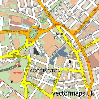
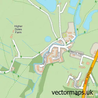
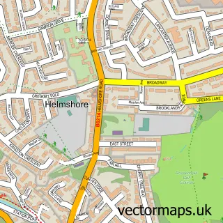
This Baxenden street map is a detailed vector street map covering a 750m x 750m area. Select a larger area to create and download your own vector street map of Baxenden.
The 750-metre map sample for Baxenden covers 162 mapped buildings and approximately 9.2 km of road detail, of which 15 named roads are named. The immediate area includes 2 GP surgeries within 2 miles, 2 pubs and 7 MOT stations within 2 miles. The wider area around Baxenden features 2 food and drink venues. To create a larger or custom map of Baxenden, the map builder lets you define your own coverage area and download editable SVG, PDF and PNG files.
Create a larger editable map of Baxenden
Choose any area you need and generate a high-quality vector map instantly. Perfect for print, planning, design, business and personal use.

This Baxenden street map in Lancashire is available as downloadable SVG, PDF and PNG map files, or as a printed map for planning, business, display, education, local information and design work. You can also create a larger custom map area using the map selector.
What this Baxenden map sample shows
Baxenden lies within Lancashire County parish, part of Baxenden ward in the Hyndburn District (B) local authority area. The postcode geography for this area includes the BB postcode area, the BB5 postcode district and the BB5 2 postcode sector. Residents fall under the Nhs Lancashire And South Cumbria Integrated Care Board for NHS services.
Local features near Baxenden
Within 2 milesAmenities and services in and around Baxenden.
Administrative and postcode information for Baxenden
Baxenden lies within Lancashire County parish, part of Baxenden ward in the Hyndburn District (B) local authority area. The postcode geography for this area includes the BB postcode area, the BB5 postcode district and the BB5 2 postcode sector. Residents fall under the Nhs Lancashire And South Cumbria Integrated Care Board for NHS services.
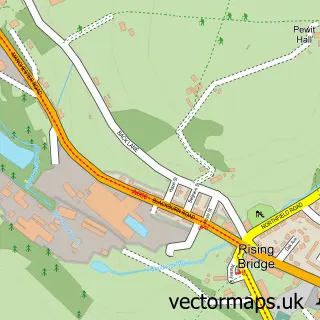
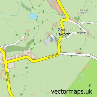
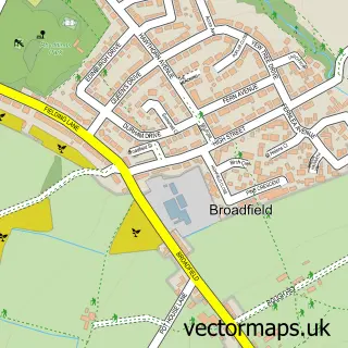
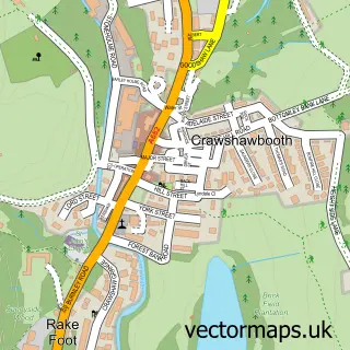
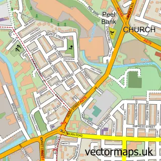
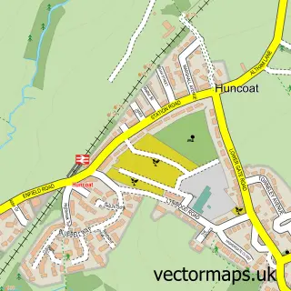
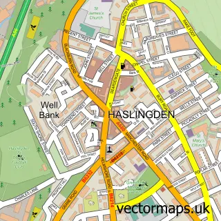
Nearby street map samples around Baxenden

More street maps in Lancashire
750 metre map area coverage
Boundary, postcode and point of interest information for the 750m x 750m rectangle centred on this sample map.
Boundaries containing map centre
Constituency: Hyndburn Co Const
County: Lancashire County
District: Hyndburn District (B)
Icb: NHS Lancashire and South Cumbria ICB
Police Force: lancashire
Postcode District: BB5
Postcode Sector: BB5 2
Ward: Baxenden Ward
Nearby boundaries intersecting sample
District: Rossendale District (B)
Postcode Sector: BB5 3
Ward: Haslingden Ward
Postcode coverage
POI category counts
Car Dealer: 3
Automotive Parts And Accessories: 2
Automotive Repair: 2
Elementary School: 2
Pub: 2
Automotive: 1
Building Supply Store: 1
Car Wash: 1
Cricket Ground: 1
Day Care Preschool: 1
Sample points of interest
- Ace Motors
- Car Parts Centre
- Car Parts Centre ltd
- Accrington autos
- G and M Ward and Sons
- Bash Stone Supplies
- Love Cars
- R & S Performance
- R&S Performance Nw Ltd
- Baxenden Car Spa
- Baxenden Cricket Club
- Puddle Lane Childcare
Create a larger editable map of Baxenden
This sample shows only a 750 metre area. To create a larger map of Baxenden, use our map builder to choose your own coverage area, add titles and download editable SVG, PDF and PNG files.
Create a custom map of Baxenden