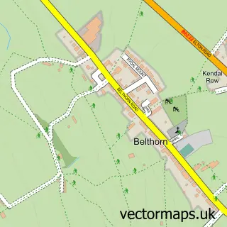
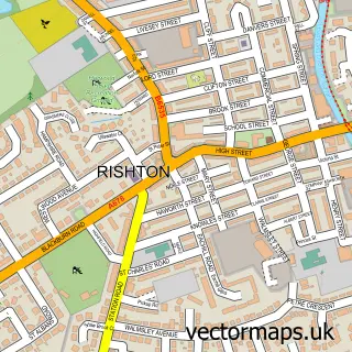
This Stanhill street map is a detailed vector street map covering a 750m x 750m area. Select a larger area to create and download your own vector street map of Stanhill.
The 750-metre map sample for Stanhill covers 108 mapped buildings and approximately 4.3 km of road detail, of which 9 named roads are named. The immediate area includes 11 GP surgeries within 2 miles, 1 pub and 27 MOT stations within 2 miles. The wider area around Stanhill features 1 food and drink venue. To create a larger or custom map of Stanhill, the map builder lets you define your own coverage area and download editable SVG, PDF and PNG files.
Create a larger editable map of Stanhill
Choose any area you need and generate a high-quality vector map instantly. Perfect for print, planning, design, business and personal use.

This Stanhill street map in Lancashire is available as downloadable SVG, PDF and PNG map files, or as a printed map for planning, business, display, education, local information and design work. You can also create a larger custom map area using the map selector.
What this Stanhill map sample shows
Stanhill lies within Lancashire County parish, part of St Andrew's ward in the Hyndburn District (B) local authority area. The postcode geography for this area includes the BB postcode area, the BB5 postcode district and the BB5 3 postcode sector. Residents fall under the Nhs Lancashire And South Cumbria Integrated Care Board for NHS services.
Local features near Stanhill
Within 2 milesAmenities and services in and around Stanhill.
Administrative and postcode information for Stanhill
Stanhill lies within Lancashire County parish, part of St Andrew's ward in the Hyndburn District (B) local authority area. The postcode geography for this area includes the BB postcode area, the BB5 postcode district and the BB5 3 postcode sector. Residents fall under the Nhs Lancashire And South Cumbria Integrated Care Board for NHS services.
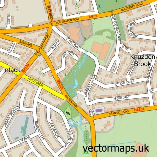
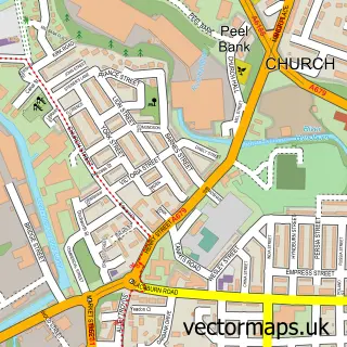
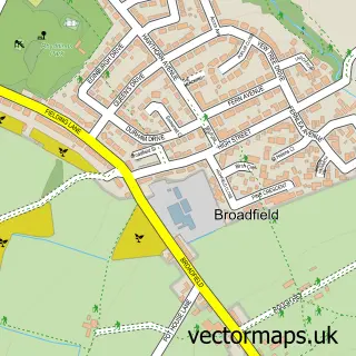
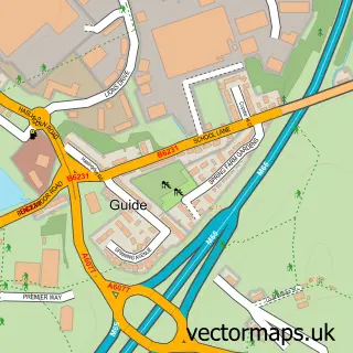
Nearby street map samples around Stanhill


More street maps in Lancashire
750 metre map area coverage
Boundary, postcode and point of interest information for the 750m x 750m rectangle centred on this sample map.
Boundaries containing map centre
Constituency: Hyndburn Co Const
County: Lancashire County
District: Hyndburn District (B)
Icb: NHS Lancashire and South Cumbria ICB
Police Force: lancashire
Postcode District: BB5
Postcode Sector: BB5 4
Ward: St. Oswald's Ward
Nearby boundaries intersecting sample
Postcode Sector: BB5 3
Postcode coverage
POI category counts
Bar: 1
Business Manufacturing And Supply: 1
Church Cathedral: 1
Furniture Accessory Store: 1
Printing Services: 1
Pub: 1
Social Service Organizations: 1
Sample points of interest
- The Stanhill Pub & Kitchen
- Pip Cottage
- Stanhill Methodist Church
- TOPWORKS BESPOKE JOINERY Ltd.
- World Meditation Alliance
- Stanhill Pub & Kitchen
- Stanhill Working Men's Club
Create a larger editable map of Stanhill
This sample shows only a 750 metre area. To create a larger map of Stanhill, use our map builder to choose your own coverage area, add titles and download editable SVG, PDF and PNG files.
Create a custom map of Stanhill