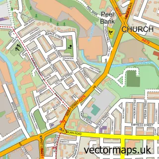
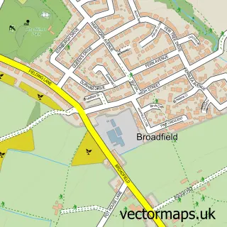
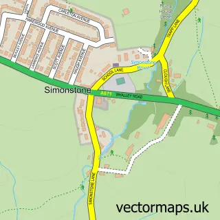
This Clayton-le-Moors street map is a detailed vector street map covering a 750m x 750m area. Select a larger area to create and download your own vector street map of Clayton-le-Moors.
The 750-metre map sample for Clayton-le-Moors covers 238 mapped buildings and approximately 14.2 km of road detail, of which 38 named roads are named. The immediate area includes 2 schools, 1 GP surgery, with 11 within 2 miles, 2 pubs and 26 MOT stations within 2 miles. The wider area around Clayton-le-Moors features 2 tourism points of interest and 2 food and drink venues. To create a larger or custom map of Clayton-le-Moors, the map builder lets you define your own coverage area and download editable SVG, PDF and PNG files.
Create a larger editable map of Clayton-le-Moors
Choose any area you need and generate a high-quality vector map instantly. Perfect for print, planning, design, business and personal use.

This Clayton-le-Moors street map in Lancashire is available as downloadable SVG, PDF and PNG map files, or as a printed map for planning, business, display, education, local information and design work. You can also create a larger custom map area using the map selector.
What this Clayton-le-Moors map sample shows
Clayton-le-Moors lies within Lancashire County parish, part of Altham ward in the Hyndburn District (B) local authority area. The postcode geography for this area includes the BB postcode area, the BB5 postcode district and the BB5 5 postcode sector. Residents fall under the Nhs Lancashire And South Cumbria Integrated Care Board for NHS services.
Local features near Clayton-le-Moors
Within 2 milesAmenities and services in and around Clayton-le-Moors.
Administrative and postcode information for Clayton-le-Moors
Clayton-le-Moors lies within Lancashire County parish, part of Altham ward in the Hyndburn District (B) local authority area. The postcode geography for this area includes the BB postcode area, the BB5 postcode district and the BB5 5 postcode sector. Residents fall under the Nhs Lancashire And South Cumbria Integrated Care Board for NHS services.
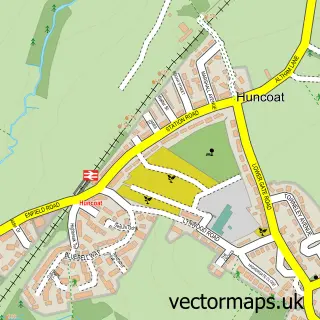
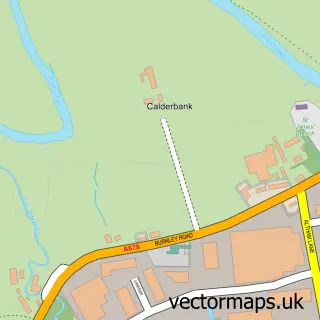
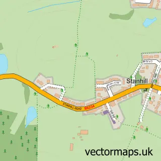
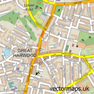
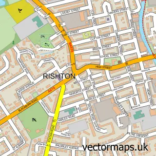
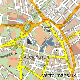
Nearby street map samples around Clayton-le-Moors

More street maps in Lancashire
750 metre map area coverage
Boundary, postcode and point of interest information for the 750m x 750m rectangle centred on this sample map.
Boundaries containing map centre
Constituency: Hyndburn Co Const
County: Lancashire County
District: Hyndburn District (B)
Icb: NHS Lancashire and South Cumbria ICB
Police Force: lancashire
Postcode District: BB5
Postcode Sector: BB5 5
Ward: Clayton-le-Moors Ward
Nearby boundaries intersecting sample
No additional intersecting boundaries found.
Postcode coverage
POI category counts
Beauty Salon: 5
Automotive Repair: 4
Contractor: 3
Elementary School: 3
Hair Salon: 3
Preschool: 3
Anglican Church: 2
Assisted Living Facility: 2
Atms: 2
Barber: 2
Sample points of interest
- First Rate Accountants
- Nick Abbey Digital Agriculture
- All Saints Church
- All Saints' Clayton-le-Moors
- Millers UK
- Kraken Corals Limited
- Belvedere Care Home
- Hope House Care Home
- ATM (Post Office)
- The Cooperative Food (BF) Pickup Street, Clayton-Le-Moors
- Auto Mate Systems Ltd.
- General Traffic
Create a larger editable map of Clayton-le-Moors
This sample shows only a 750 metre area. To create a larger map of Clayton-le-Moors, use our map builder to choose your own coverage area, add titles and download editable SVG, PDF and PNG files.
Create a custom map of Clayton-le-Moors