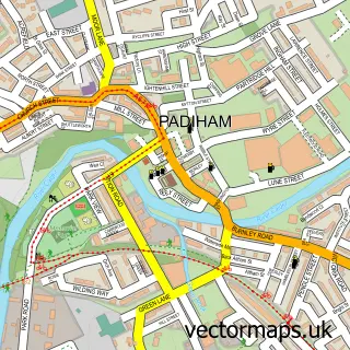
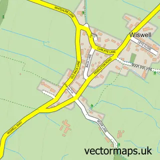
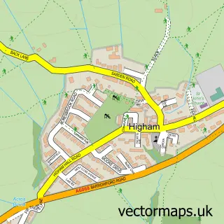
This Read street map is a detailed vector street map covering a 750m x 750m area. Select a larger area to create and download your own vector street map of Read.
The 750-metre map sample for Read covers 339 mapped buildings and approximately 13.9 km of road detail, of which 32 named roads are named. The immediate area includes 1 school, 1 GP surgery within 2 miles, 1 pub and 2 MOT stations, with 5 within 2 miles. The wider area around Read features 4 food and drink venues. To create a larger or custom map of Read, the map builder lets you define your own coverage area and download editable SVG, PDF and PNG files.
Create a larger editable map of Read
Choose any area you need and generate a high-quality vector map instantly. Perfect for print, planning, design, business and personal use.

This Read street map in Lancashire is available as downloadable SVG, PDF and PNG map files, or as a printed map for planning, business, display, education, local information and design work. You can also create a larger custom map area using the map selector.
What this Read map sample shows
Read lies within Simonstone Cp parish, part of East Whalley, Read & Simonstone ward in the Ribble Valley District (B) local authority area. The postcode geography for this area includes the BB postcode area, the BB12 postcode district and the BB12 7 postcode sector. Residents fall under the Nhs Lancashire And South Cumbria Integrated Care Board for NHS services.
Local features near Read
Within 2 milesAmenities and services in and around Read.
Administrative and postcode information for Read
The local authority covering Read is Ribble Valley District (B), within the county of Lancashire. The settlement lies within East Whalley, Read & Simonstone ward and Simonstone Cp civil parish. The BB12 postcode district and BB12 7 postcode sector serve the immediate area. NHS provision in the area is delivered through East Lancashire Hospitals Nhs Trust.
Nearby street map samples around Read

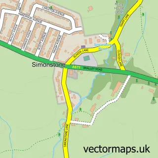
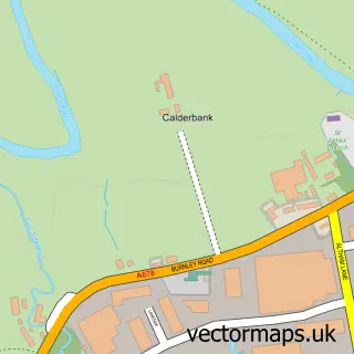
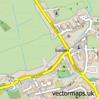
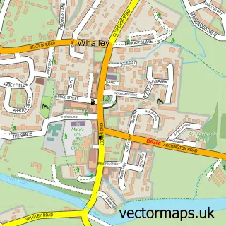
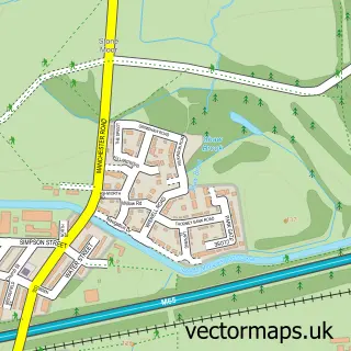
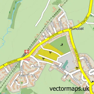
More street maps in Lancashire
750 metre map area coverage
Boundary, postcode and point of interest information for the 750m x 750m rectangle centred on this sample map.
Boundaries containing map centre
Constituency: Pendle and Clitheroe Co Const
County: Lancashire County
District: Ribble Valley District (B)
Icb: NHS Lancashire and South Cumbria ICB
Parish: Read CP
Police Force: lancashire
Postcode District: BB12
Postcode Sector: BB12 7
Ward: East Whalley, Read & Simonstone Ward
Nearby boundaries intersecting sample
Parish: Simonstone CP
Postcode coverage
POI category counts
Convenience Store: 3
Hair Salon: 2
Anglican Church: 1
Auto Body Shop: 1
Automotive Parts And Accessories: 1
Automotive Repair: 1
Bakery: 1
Beauty Salon: 1
Building Supply Store: 1
Cafe: 1
Sample points of interest
- St John's Read
- Read Motor Body Centre
- Automotive Tools & Supplies Ltd
- Premier Auto Bodies
- The Village Bakery
- House Of Beauty
- Home Improvement Studio
- Community Cafe and Book Exchange
- Dreamaker Wedding Gowns
- Happy Village
- Costa Express
- Read & Simonstone Village Hall
Create a larger editable map of Read
This sample shows only a 750 metre area. To create a larger map of Read, use our map builder to choose your own coverage area, add titles and download editable SVG, PDF and PNG files.
Create a custom map of Read