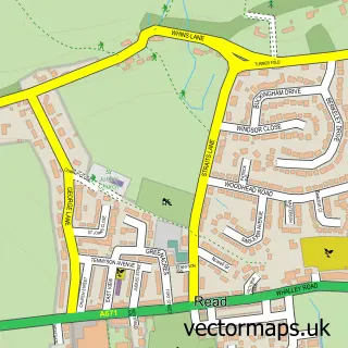
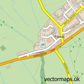
This Hapton street map is a detailed vector street map covering a 750m x 750m area. Select a larger area to create and download your own vector street map of Hapton.
The 750-metre map sample for Hapton covers 142 mapped buildings and approximately 9.2 km of road detail, of which 16 named roads are named. The immediate area includes 3 GP surgeries within 2 miles, 1 pub and 1 MOT station, with 9 within 2 miles. The wider area around Hapton features 1 food and drink venue. To create a larger or custom map of Hapton, the map builder lets you define your own coverage area and download editable SVG, PDF and PNG files.
Create a larger editable map of Hapton
Choose any area you need and generate a high-quality vector map instantly. Perfect for print, planning, design, business and personal use.

This Hapton street map in Lancashire is available as downloadable SVG, PDF and PNG map files, or as a printed map for planning, business, display, education, local information and design work. You can also create a larger custom map area using the map selector.
What this Hapton map sample shows
Hapton lies within Hapton Cp parish, part of Hapton With Park ward in the Burnley District (B) local authority area. The postcode geography for this area includes the BB postcode area, the BB11 postcode district and the BB11 5 postcode sector. Residents fall under the Nhs Lancashire And South Cumbria Integrated Care Board for NHS services.
Local features near Hapton
Within 2 milesAmenities and services in and around Hapton.
Administrative and postcode information for Hapton
The local authority covering Hapton is Burnley District (B), within the county of Lancashire. The settlement lies within Hapton With Park ward and Hapton Cp civil parish. The BB11 postcode district and BB11 5 postcode sector serve the immediate area. NHS provision in the area is delivered through East Lancashire Hospitals Nhs Trust.
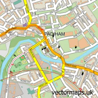
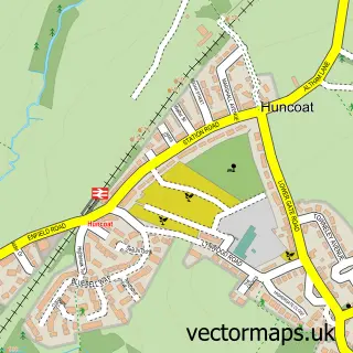
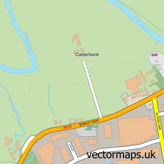
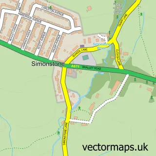
Nearby street map samples around Hapton

More street maps in Lancashire
750 metre map area coverage
Boundary, postcode and point of interest information for the 750m x 750m rectangle centred on this sample map.
Boundaries containing map centre
Constituency: Burnley Co Const
County: Lancashire County
District: Burnley District (B)
Icb: NHS Lancashire and South Cumbria ICB
Parish: Hapton CP
Police Force: lancashire
Postcode District: BB12
Postcode Sector: BB12 7
Ward: Hapton with Park Ward
Nearby boundaries intersecting sample
Postcode District: BB11
Postcode Sector: BB11 5
Postcode coverage
POI category counts
Automotive Repair: 2
Convenience Store: 2
Train Station: 2
Atms: 1
Beauty And Spa: 1
Beauty Salon: 1
Building Supply Store: 1
Business Manufacturing And Supply: 1
Chinese Restaurant: 1
Church Cathedral: 1
Sample points of interest
- PayPoint
- Component Engineering
- Savoy Garage
- Jane Hair-Hairdresser
- Opulence Skin & Beauty Retreat
- G C L Developments Ltd
- CPN Truck Services
- Wing Wah Hapton Burnley
- Hapton Methodist Church
- Best-one
- Landon News
- Wendy Frost Dance & Drama
Create a larger editable map of Hapton
This sample shows only a 750 metre area. To create a larger map of Hapton, use our map builder to choose your own coverage area, add titles and download editable SVG, PDF and PNG files.
Create a custom map of Hapton