This Higham street map is a detailed vector street map covering a 750m x 750m area. Select a larger area to create and download your own vector street map of Higham.
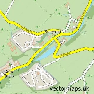
The 750-metre map sample for Higham covers 189 mapped buildings and approximately 10.5 km of road detail, of which 24 named roads are named. The immediate area includes 1 school, 1 GP surgery within 2 miles, 1 pub and 3 MOT stations within 2 miles. The wider area around Higham features 1 food and drink venue and 1 campsite within 2 miles. To create a larger or custom map of Higham, the map builder lets you define your own coverage area and download editable SVG, PDF and PNG files.
Create a larger editable map of Higham
Choose any area you need and generate a high-quality vector map instantly. Perfect for print, planning, design, business and personal use.

This Higham street map in Lancashire is available as downloadable SVG, PDF and PNG map files, or as a printed map for planning, business, display, education, local information and design work. You can also create a larger custom map area using the map selector.
What this Higham map sample shows
Higham lies within Higham-With-West Close Booth Cp parish, part of Higham And Pendleside ward in the Pendle District (B) local authority area. The postcode geography for this area includes the BB postcode area, the BB12 postcode district and the BB12 9 postcode sector. Residents fall under the Nhs Lancashire And South Cumbria Integrated Care Board for NHS services.
Local features near Higham
Within 2 milesAmenities and services in and around Higham.
Administrative and postcode information for Higham
The local authority covering Higham is Pendle District (B), within the county of Lancashire. The settlement lies within Higham And Pendleside ward and Higham-With-West Close Booth Cp civil parish. The BB12 postcode district and BB12 9 postcode sector serve the immediate area. NHS provision in the area is delivered through East Lancashire Hospitals Nhs Trust.
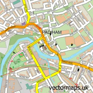
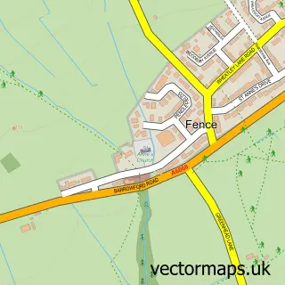
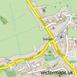
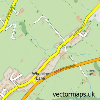
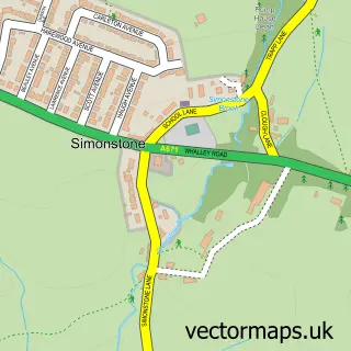
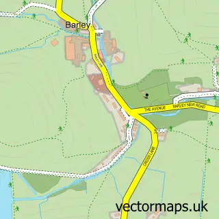
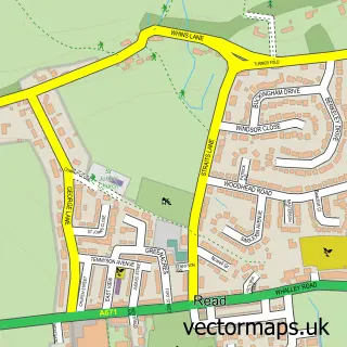
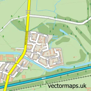
Nearby street map samples around Higham

More street maps in Lancashire
750 metre map area coverage
Boundary, postcode and point of interest information for the 750m x 750m rectangle centred on this sample map.
Boundaries containing map centre
Constituency: Pendle and Clitheroe Co Const
County: Lancashire County
District: Pendle District (B)
Icb: NHS Lancashire and South Cumbria ICB
Parish: Higham-with-West Close Booth CP
Police Force: lancashire
Postcode District: BB12
Postcode Sector: BB12 9
Ward: Fence & Higham Ward
Nearby boundaries intersecting sample
No additional intersecting boundaries found.
Postcode coverage
POI category counts
Anglican Church: 1
Bakery: 1
Building Supply Store: 1
Church Cathedral: 1
Community Center: 1
Community Services Non Profits: 1
Elementary School: 1
Event Planning: 1
Fitness Trainer: 1
Importer And Exporter: 1
Sample points of interest
- St John the Evangelist
- Fox Bakehouse
- Aspden Martin
- St John the Evangelist Church
- Higham Village Hall
- Higham Village Events
- Higham St Johns Primary School
- Higham Village Hall
- Northwest Personal Trainer
- Footwork
- Pilling Engineering & fabrication LTD
- CPRE Lancashire
Create a larger editable map of Higham
This sample shows only a 750 metre area. To create a larger map of Higham, use our map builder to choose your own coverage area, add titles and download editable SVG, PDF and PNG files.
Create a custom map of Higham