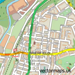
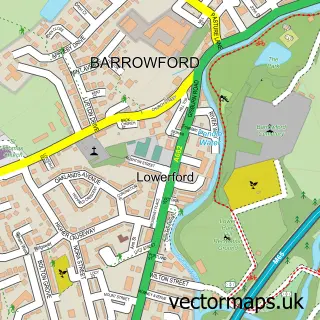
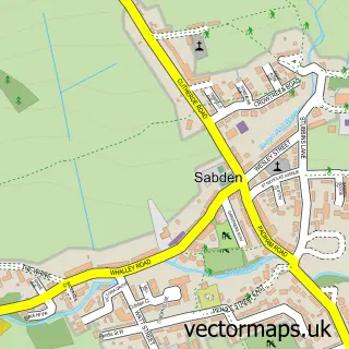
This Wheatley Lane street map is a detailed vector street map covering a 750m x 750m area. Select a larger area to create and download your own vector street map of Wheatley Lane.
The 750-metre map sample for Wheatley Lane covers 130 mapped buildings and approximately 9.1 km of road detail, of which 5 named roads are named. The immediate area includes 7 GP surgeries within 2 miles, 2 pubs and 17 MOT stations within 2 miles. The wider area around Wheatley Lane features 1 tourism point of interest, 2 food and drink venues and 1 campsite within 2 miles. To create a larger or custom map of Wheatley Lane, the map builder lets you define your own coverage area and download editable SVG, PDF and PNG files.
Create a larger editable map of Wheatley Lane
Choose any area you need and generate a high-quality vector map instantly. Perfect for print, planning, design, business and personal use.

This Wheatley Lane street map in Lancashire is available as downloadable SVG, PDF and PNG map files, or as a printed map for planning, business, display, education, local information and design work. You can also create a larger custom map area using the map selector.
What this Wheatley Lane map sample shows
Wheatley Lane lies within Old Laund Booth Cp parish, part of Old Laund Booth ward in the Pendle District (B) local authority area. The postcode geography for this area includes the BB postcode area, the BB12 postcode district and the BB12 9 postcode sector. Residents fall under the Nhs Lancashire And South Cumbria Integrated Care Board for NHS services.
Local features near Wheatley Lane
Within 2 milesAmenities and services in and around Wheatley Lane.
Administrative and postcode information for Wheatley Lane
Wheatley Lane lies within Old Laund Booth Cp parish, part of Old Laund Booth ward in the Pendle District (B) local authority area. The postcode geography for this area includes the BB postcode area, the BB12 postcode district and the BB12 9 postcode sector. Residents fall under the Nhs Lancashire And South Cumbria Integrated Care Board for NHS services.
Nearby street map samples around Wheatley Lane

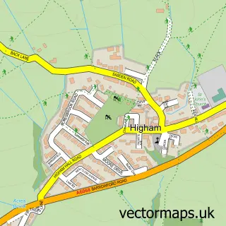
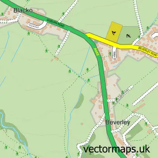
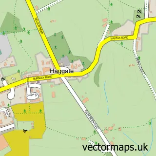
More street maps in Lancashire
750 metre map area coverage
Boundary, postcode and point of interest information for the 750m x 750m rectangle centred on this sample map.
Boundaries containing map centre
Constituency: Pendle and Clitheroe Co Const
County: Lancashire County
District: Pendle District (B)
Icb: NHS Lancashire and South Cumbria ICB
Parish: Old Laund Booth CP
Police Force: lancashire
Postcode District: BB12
Postcode Sector: BB12 9
Ward: Fence & Higham Ward
Nearby boundaries intersecting sample
No additional intersecting boundaries found.
Postcode coverage
POI category counts
Beauty Salon: 2
Convenience Store: 2
Pub: 2
Appliance Manufacturer: 1
Beauty Product Supplier: 1
Beer Bar: 1
Construction Services: 1
Contractor: 1
Currency Exchange: 1
Hair Salon: 1
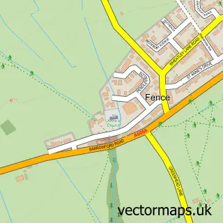
Sample points of interest
- Panaz
- Essence Health And Beauty
- Transformations Hairdressers, Fence
- iLash Beauty Salon
- The Old Post Office
- Future Developments
- A Rollinson & Son Ltd
- Fence Village Store
- Fence Village Store
- Post Office Travel Money
- Hair By Skye
- Wheatley Lane, Lancashire
Create a larger editable map of Wheatley Lane
This sample shows only a 750 metre area. To create a larger map of Wheatley Lane, use our map builder to choose your own coverage area, add titles and download editable SVG, PDF and PNG files.
Create a custom map of Wheatley Lane