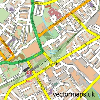
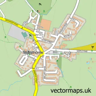
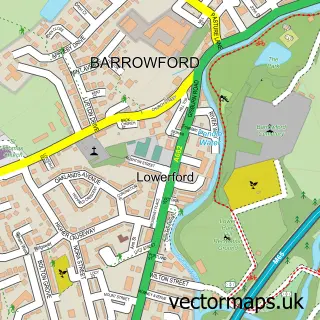
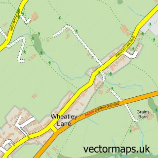
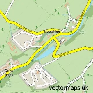
This Haggate street map is a detailed vector street map covering a 750m x 750m area. Select a larger area to create and download your own vector street map of Haggate.
The 750-metre map sample for Haggate covers 100 mapped buildings and approximately 7.1 km of road detail, of which 10 named roads are named. The immediate area includes 9 GP surgeries within 2 miles, 1 pub and 17 MOT stations within 2 miles. The wider area around Haggate features 1 tourism point of interest and 1 food and drink venue. To create a larger or custom map of Haggate, the map builder lets you define your own coverage area and download editable SVG, PDF and PNG files.
Create a larger editable map of Haggate
Choose any area you need and generate a high-quality vector map instantly. Perfect for print, planning, design, business and personal use.

This Haggate street map in Lancashire is available as downloadable SVG, PDF and PNG map files, or as a printed map for planning, business, display, education, local information and design work. You can also create a larger custom map area using the map selector.
What this Haggate map sample shows
Haggate lies within Briercliffe Cp parish, part of Briercliffe ward in the Burnley District (B) local authority area. The postcode geography for this area includes the BB postcode area, the BB10 postcode district and the BB10 3 postcode sector. Residents fall under the Nhs Lancashire And South Cumbria Integrated Care Board for NHS services.
Local features near Haggate
Within 2 milesAmenities and services in and around Haggate.
Administrative and postcode information for Haggate
The local authority covering Haggate is Burnley District (B), within the county of Lancashire. The settlement lies within Briercliffe ward and Briercliffe Cp civil parish. The BB10 postcode district and BB10 3 postcode sector serve the immediate area. NHS provision in the area is delivered through East Lancashire Hospitals Nhs Trust.
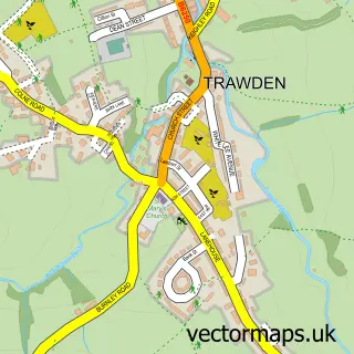
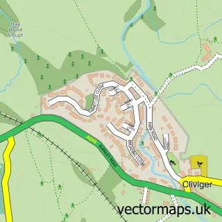
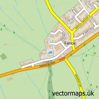
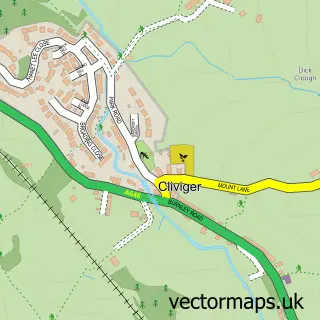
Nearby street map samples around Haggate

More street maps in Lancashire
750 metre map area coverage
Boundary, postcode and point of interest information for the 750m x 750m rectangle centred on this sample map.
Boundaries containing map centre
Constituency: Burnley Co Const
County: Lancashire County
District: Burnley District (B)
Icb: NHS Lancashire and South Cumbria ICB
Parish: Briercliffe CP
Police Force: lancashire
Postcode District: BB10
Postcode Sector: BB10 3
Ward: Briercliffe Ward
Nearby boundaries intersecting sample
Postcode Sector: BB10 2
Postcode coverage
POI category counts
Bar: 2
Baptist Church: 1
Building Supply Store: 1
Community Center: 1
Cottage: 1
Counseling And Mental Health: 1
Landmark And Historical Building: 1
Playground: 1
Professional Services: 1
Pub: 1
Sample points of interest
- Haggate Baptist Church
- Kiddy Chaos
- Sun Inn Harle Syke
- North County Pest Control Services
- Briercliffe Community Centre
- Higher Cockden Farm - Poppy Cottage
- The Oasis
- Haggate
- Lane Bottom Playground
- Brett Stevenson Memorials
- The Hare and Hounds
- Royal Court Sheltered Housing
Create a larger editable map of Haggate
This sample shows only a 750 metre area. To create a larger map of Haggate, use our map builder to choose your own coverage area, add titles and download editable SVG, PDF and PNG files.
Create a custom map of Haggate