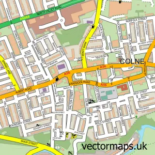
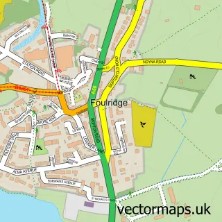
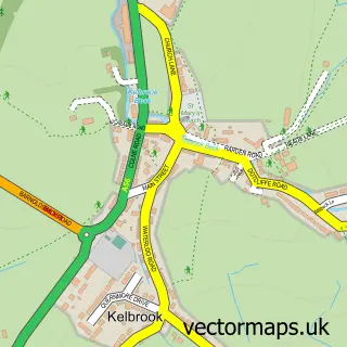
This Trawden street map is a detailed vector street map covering a 750m x 750m area. Select a larger area to create and download your own vector street map of Trawden.
The 750-metre map sample for Trawden covers 214 mapped buildings and approximately 8.7 km of road detail, of which 21 named roads are named. The immediate area includes 1 school, 2 GP surgeries within 2 miles, 1 pub and 7 MOT stations within 2 miles. The wider area around Trawden features 1 tourism point of interest and 3 food and drink venues. To create a larger or custom map of Trawden, the map builder lets you define your own coverage area and download editable SVG, PDF and PNG files.
Create a larger editable map of Trawden
Choose any area you need and generate a high-quality vector map instantly. Perfect for print, planning, design, business and personal use.

This Trawden street map in Lancashire is available as downloadable SVG, PDF and PNG map files, or as a printed map for planning, business, display, education, local information and design work. You can also create a larger custom map area using the map selector.
What this Trawden map sample shows
Trawden lies within Trawden Forest Cp parish, part of Boulsworth ward in the Pendle District (B) local authority area. The postcode geography for this area includes the BB postcode area, the BB8 postcode district and the BB8 8 postcode sector. Residents fall under the Nhs Lancashire And South Cumbria Integrated Care Board for NHS services.
Local features near Trawden
Within 2 milesAmenities and services in and around Trawden.
Administrative and postcode information for Trawden
The local authority covering Trawden is Pendle District (B), within the county of Lancashire. The settlement lies within Boulsworth ward and Trawden Forest Cp civil parish. The BB8 postcode district and BB8 8 postcode sector serve the immediate area. NHS provision in the area is delivered through East Lancashire Hospitals Nhs Trust.
Nearby street map samples around Trawden

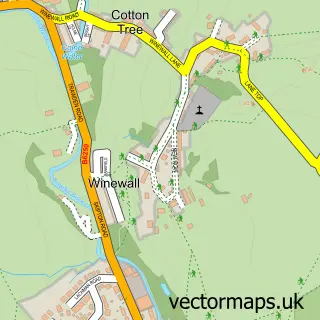
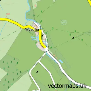
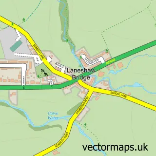
More street maps in Lancashire
750 metre map area coverage
Boundary, postcode and point of interest information for the 750m x 750m rectangle centred on this sample map.
Boundaries containing map centre
Constituency: Pendle and Clitheroe Co Const
County: Lancashire County
District: Pendle District (B)
Icb: NHS Lancashire and South Cumbria ICB
Parish: Trawden Forest CP
Police Force: lancashire
Postcode District: BB8
Postcode Sector: BB8 8
Ward: Boulsworth & Foulridge Ward
Nearby boundaries intersecting sample
No additional intersecting boundaries found.
Postcode coverage
POI category counts
Advertising Agency: 3
Contractor: 2
Anglican Church: 1
Appliance Manufacturer: 1
Beauty And Spa: 1
Business Management Services: 1
Cafe: 1
Civil Engineers: 1
Clothing Store: 1
Coffee Shop: 1
Sample points of interest
- M65 SEO Agency
- SEO Lancashire
- SEO Lancashire
- St Mary the Virgin, Trawden
- Jack Moore
- The Nail Room
- AskAskew Early Years And Childcare Business Consultancy
- Jackie and Francesca's Old Rock Cafe and Cake Shop
- C R S Plant Ltd.
- Austin Reed
- The Old Rock Cafe
- Trawden Forest Community Centre, Library and Shop
Create a larger editable map of Trawden
This sample shows only a 750 metre area. To create a larger map of Trawden, use our map builder to choose your own coverage area, add titles and download editable SVG, PDF and PNG files.
Create a custom map of Trawden