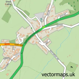
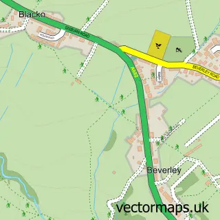
This Kelbrook street map is a detailed vector street map covering a 750m x 750m area. Select a larger area to create and download your own vector street map of Kelbrook.
The 750-metre map sample for Kelbrook covers 166 mapped buildings and approximately 10.6 km of road detail, of which 14 named roads are named. The immediate area includes 1 school, 2 GP surgeries within 2 miles, 2 pubs and 1 MOT station, with 6 within 2 miles. The wider area around Kelbrook features 4 food and drink venues. To create a larger or custom map of Kelbrook, the map builder lets you define your own coverage area and download editable SVG, PDF and PNG files.
Create a larger editable map of Kelbrook
Choose any area you need and generate a high-quality vector map instantly. Perfect for print, planning, design, business and personal use.

This Kelbrook street map in Lancashire is available as downloadable SVG, PDF and PNG map files, or as a printed map for planning, business, display, education, local information and design work. You can also create a larger custom map area using the map selector.
What this Kelbrook map sample shows
Kelbrook lies within Kelbrook And Sough Cp parish, part of Earby ward in the Pendle District (B) local authority area. The postcode geography for this area includes the BB postcode area, the BB18 postcode district and the BB18 6 postcode sector. Residents fall under the Nhs Lancashire And South Cumbria Integrated Care Board for NHS services.
Local features near Kelbrook
Within 2 milesAmenities and services in and around Kelbrook.
Administrative and postcode information for Kelbrook
The local authority covering Kelbrook is Pendle District (B), within the county of Lancashire. The settlement lies within Earby ward and Kelbrook And Sough Cp civil parish. The BB18 postcode district and BB18 6 postcode sector serve the immediate area. NHS provision in the area is delivered through Airedale Nhs Foundation Trust.
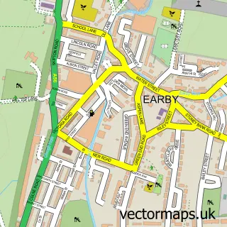
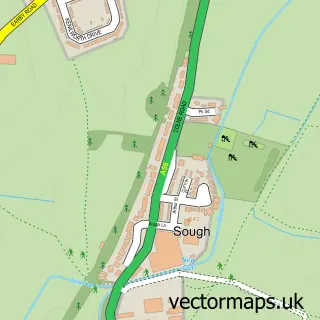
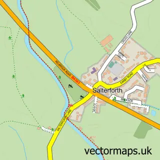
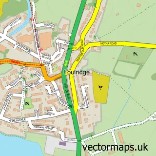
Nearby street map samples around Kelbrook

More street maps in Lancashire
750 metre map area coverage
Boundary, postcode and point of interest information for the 750m x 750m rectangle centred on this sample map.
Boundaries containing map centre
Constituency: Pendle and Clitheroe Co Const
County: Lancashire County
District: Pendle District (B)
Icb: NHS Lancashire and South Cumbria ICB
Parish: Kelbrook and Sough CP
Police Force: lancashire
Postcode District: BB18
Postcode Sector: BB18 6
Ward: Earby & Coates Ward
Nearby boundaries intersecting sample
No additional intersecting boundaries found.
Postcode coverage
POI category counts
Automotive Repair: 2
Car Dealer: 2
Dog Park: 2
Gas Station: 2
Pub: 2
Anglican Church: 1
Atms: 1
Automotive: 1
Building Supply Store: 1
Business: 1
Sample points of interest
- Kelbrook: St Mary
- Kelbrook Service Station (Protected), Colne
- Optimill CNC Land Rover Parts
- Dales Automotive
- Motability Scheme at Dales Automotive Ssangyong Barnoldswick
- Xgreen Clean
- ATH NDT
- Euravia Engineering
- A To B Vehicles
- Dales Subaru
- A To B Self Drive
- St Marys Church
Create a larger editable map of Kelbrook
This sample shows only a 750 metre area. To create a larger map of Kelbrook, use our map builder to choose your own coverage area, add titles and download editable SVG, PDF and PNG files.
Create a custom map of Kelbrook