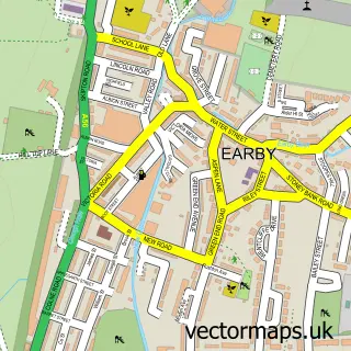
This Thornton In Craven street map is a detailed vector street map covering a 750m x 750m area. Select a larger area to create and download your own vector street map of Thornton In Craven.
The 750-metre map sample for Thornton In Craven covers 135 mapped buildings and approximately 11.2 km of road detail, of which 12 named roads are named. The immediate area includes 1 school, 1 GP surgery within 2 miles and 5 MOT stations within 2 miles. To create a larger or custom map of Thornton In Craven, the map builder lets you define your own coverage area and download editable SVG, PDF and PNG files.
Create a larger editable map of Thornton In Craven
Choose any area you need and generate a high-quality vector map instantly. Perfect for print, planning, design, business and personal use.

This Thornton In Craven street map in North Yorkshire is available as downloadable SVG, PDF and PNG map files, or as a printed map for planning, business, display, education, local information and design work. You can also create a larger custom map area using the map selector.
What this Thornton In Craven map sample shows
Thornton In Craven lies within Thornton In Craven Cp parish, part of West Craven ward in the North Yorkshire local authority area. The postcode geography for this area includes the BD postcode area, the BD23 postcode district and the BD23 3 postcode sector. Residents fall under the Nhs West Yorkshire Integrated Care Board for NHS services.
Local features near Thornton In Craven
Within 2 milesAmenities and services in and around Thornton In Craven.
Administrative and postcode information for Thornton In Craven
The local authority covering Thornton In Craven is North Yorkshire, within the county of North Yorkshire. The settlement lies within West Craven ward and Thornton In Craven Cp civil parish. The BD23 postcode district and BD23 3 postcode sector serve the immediate area. NHS provision in the area is delivered through Airedale Nhs Foundation Trust.
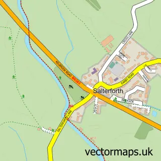
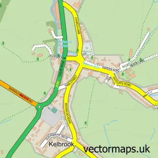
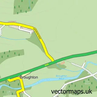
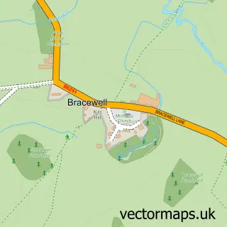
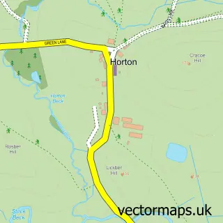
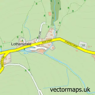
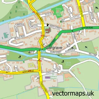
Nearby street map samples around Thornton In Craven

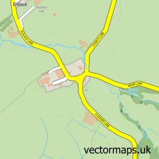
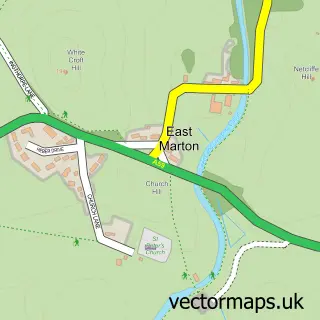
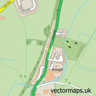
More street maps in North Yorkshire
750 metre map area coverage
Boundary, postcode and point of interest information for the 750m x 750m rectangle centred on this sample map.
Boundaries containing map centre
Constituency: Skipton and Ripon Co Const
District: North Yorkshire
Icb: NHS West Yorkshire ICB
Parish: Thornton in Craven CP
Police Force: north yorkshire
Postcode District: BD23
Postcode Sector: BD23 3
Nearby boundaries intersecting sample
No additional intersecting boundaries found.
Postcode coverage
POI category counts
Bed And Breakfast: 2
Bar And Grill Restaurant: 1
Business Management Services: 1
Elementary School: 1
Nursing School: 1
Retail: 1
Train Station: 1
Sample points of interest
- The Dog House
- Fernside B&B & Holiday Cottage
- Fernside Cottage self catering holidays
- Chris Myers Garden Design
- Thornton in Craven Community Primary
- Anchor - Thornton Hill care home
- Quadtrex
- Thornton-in-Craven railway station
Create a larger editable map of Thornton In Craven
This sample shows only a 750 metre area. To create a larger map of Thornton In Craven, use our map builder to choose your own coverage area, add titles and download editable SVG, PDF and PNG files.
Create a custom map of Thornton In Craven