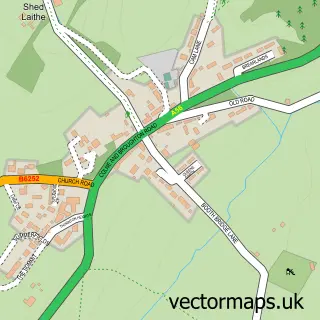
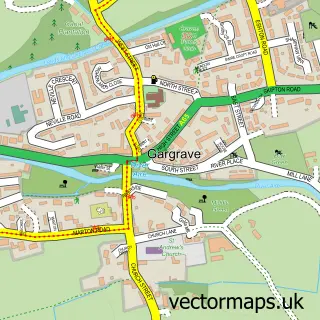
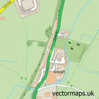
This East Marton street map is a detailed vector street map covering a 750m x 750m area. Select a larger area to create and download your own vector street map of East Marton.
The 750-metre map sample for East Marton covers 40 mapped buildings and approximately 12.5 km of road detail, of which 3 named roads are named. The immediate area includes 1 pub. The wider area around East Marton features 2 food and drink venues. To create a larger or custom map of East Marton, the map builder lets you define your own coverage area and download editable SVG, PDF and PNG files.
Create a larger editable map of East Marton
Choose any area you need and generate a high-quality vector map instantly. Perfect for print, planning, design, business and personal use.

This East Marton street map in North Yorkshire is available as downloadable SVG, PDF and PNG map files, or as a printed map for planning, business, display, education, local information and design work. You can also create a larger custom map area using the map selector.
What this East Marton map sample shows
East Marton lies within Martons Both Cp parish, part of West Craven ward in the North Yorkshire local authority area. The postcode geography for this area includes the BD postcode area, the BD23 postcode district and the BD23 3 postcode sector. Residents fall under the Nhs West Yorkshire Integrated Care Board for NHS services.
Local features near East Marton
Within 2 milesAmenities and services in and around East Marton.
Administrative and postcode information for East Marton
East Marton lies within Martons Both Cp parish, part of West Craven ward in the North Yorkshire local authority area. The postcode geography for this area includes the BD postcode area, the BD23 postcode district and the BD23 3 postcode sector. Residents fall under the Nhs West Yorkshire Integrated Care Board for NHS services.
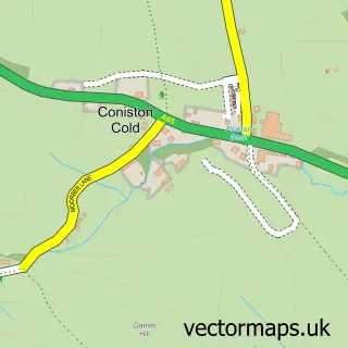
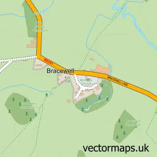
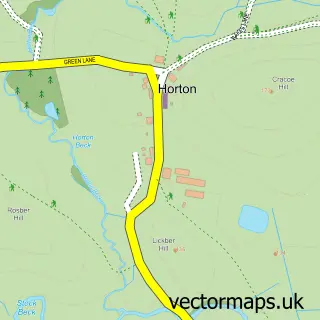
Nearby street map samples around East Marton
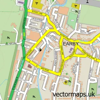

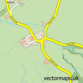
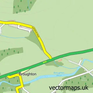
More street maps in North Yorkshire
750 metre map area coverage
Boundary, postcode and point of interest information for the 750m x 750m rectangle centred on this sample map.
Boundaries containing map centre
Constituency: Skipton and Ripon Co Const
District: North Yorkshire
Icb: NHS West Yorkshire ICB
Parish: Martons Both CP
Police Force: north yorkshire
Postcode District: BD23
Postcode Sector: BD23 3
Nearby boundaries intersecting sample
No additional intersecting boundaries found.
Postcode coverage
POI category counts
Arts And Entertainment: 2
Active Life: 1
Anglican Church: 1
Cafe: 1
Church Cathedral: 1
Horse Boarding: 1
Naturopathic Holistic: 1
Nursery And Gardening: 1
Pub: 1
Web Designer: 1
Sample points of interest
- My Expedition Rocks
- St Peter's Church, Marton-in-Craven
- East Marton
- East Marton, North Yorkshire
- Abbots Harbour
- St Peters
- Wilkinsons Farm Livery Yard
- Feel Good Therapy
- Robertshaws Garden Machinery
- The Cross Keys
- MonsterWeb Ltd
Create a larger editable map of East Marton
This sample shows only a 750 metre area. To create a larger map of East Marton, use our map builder to choose your own coverage area, add titles and download editable SVG, PDF and PNG files.
Create a custom map of East Marton