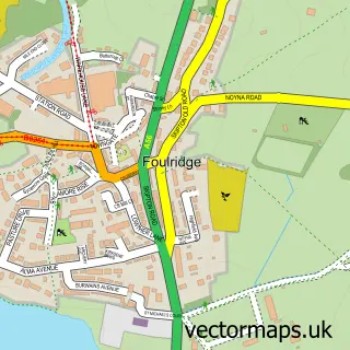
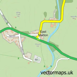
This Sough street map is a detailed vector street map covering a 750m x 750m area. Select a larger area to create and download your own vector street map of Sough.
The 750-metre map sample for Sough covers 104 mapped buildings and approximately 6.2 km of road detail, of which 8 named roads are named. The immediate area includes 2 GP surgeries within 2 miles and 9 MOT stations within 2 miles. The wider area around Sough features 1 tourism point of interest. To create a larger or custom map of Sough, the map builder lets you define your own coverage area and download editable SVG, PDF and PNG files.
Create a larger editable map of Sough
Choose any area you need and generate a high-quality vector map instantly. Perfect for print, planning, design, business and personal use.

This Sough street map in Lancashire is available as downloadable SVG, PDF and PNG map files, or as a printed map for planning, business, display, education, local information and design work. You can also create a larger custom map area using the map selector.
What this Sough map sample shows
Sough lies within Kelbrook And Sough Cp parish, part of Earby ward in the Pendle District (B) local authority area. The postcode geography for this area includes the BB postcode area, the BB18 postcode district and the BB18 6 postcode sector. Residents fall under the Nhs Lancashire And South Cumbria Integrated Care Board for NHS services.
Local features near Sough
Within 2 milesAmenities and services in and around Sough.
Administrative and postcode information for Sough
The local authority covering Sough is Pendle District (B), within the county of Lancashire. The settlement lies within Earby ward and Kelbrook And Sough Cp civil parish. The BB18 postcode district and BB18 6 postcode sector serve the immediate area. NHS provision in the area is delivered through Airedale Nhs Foundation Trust.
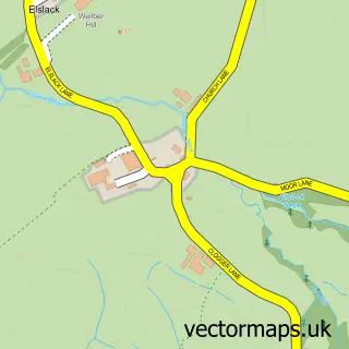
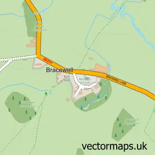
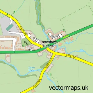
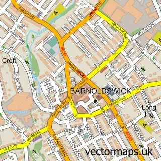
Nearby street map samples around Sough
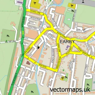

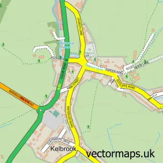
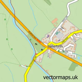
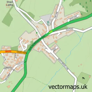
More street maps in Lancashire
750 metre map area coverage
Boundary, postcode and point of interest information for the 750m x 750m rectangle centred on this sample map.
Boundaries containing map centre
Constituency: Pendle and Clitheroe Co Const
County: Lancashire County
District: Pendle District (B)
Icb: NHS Lancashire and South Cumbria ICB
Parish: Kelbrook and Sough CP
Police Force: lancashire
Postcode District: BB18
Postcode Sector: BB18 6
Ward: Earby & Coates Ward
Nearby boundaries intersecting sample
Parish: Earby CP, Salterforth CP
Postcode coverage
POI category counts
Automotive Repair: 2
Interior Design: 2
Lighting Store: 2
Professional Services: 2
Accountant: 1
Architect: 1
Automotive Services And Repair: 1
Beauty Salon: 1
Bookkeeper: 1
Coal And Coke: 1
Sample points of interest
- Pepperhill Associates
- EcoDesign Ltd.
- Hackett's Bodyshop
- Kelbrook Classics
- W7 Tuning
- ProStyling
- Alison Pepper
- Dales Renewables Ltd.
- Clough and Co
- Shades Painters & Decorators
- Sough, Lancashire
- Lighting Style
Create a larger editable map of Sough
This sample shows only a 750 metre area. To create a larger map of Sough, use our map builder to choose your own coverage area, add titles and download editable SVG, PDF and PNG files.
Create a custom map of Sough