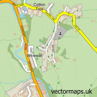
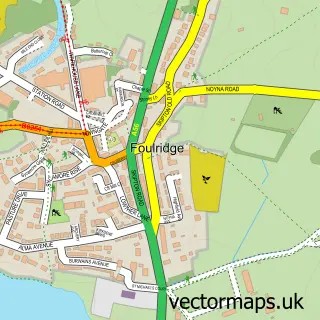
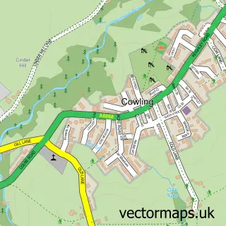
This Laneshaw Bridge street map is a detailed vector street map covering a 750m x 750m area. Select a larger area to create and download your own vector street map of Laneshaw Bridge.
The 750-metre map sample for Laneshaw Bridge covers 93 mapped buildings and approximately 10.4 km of road detail, of which 8 named roads are named. The immediate area includes 1 school, 2 GP surgeries within 2 miles, 2 pubs and 2 MOT stations within 2 miles. The wider area around Laneshaw Bridge features 2 tourism points of interest, 2 food and drink venues and 1 hotel. To create a larger or custom map of Laneshaw Bridge, the map builder lets you define your own coverage area and download editable SVG, PDF and PNG files.
Create a larger editable map of Laneshaw Bridge
Choose any area you need and generate a high-quality vector map instantly. Perfect for print, planning, design, business and personal use.

This Laneshaw Bridge street map in Lancashire is available as downloadable SVG, PDF and PNG map files, or as a printed map for planning, business, display, education, local information and design work. You can also create a larger custom map area using the map selector.
What this Laneshaw Bridge map sample shows
Laneshaw Bridge lies within Laneshaw Bridge Cp parish, part of Boulsworth ward in the Pendle District (B) local authority area. The postcode geography for this area includes the BB postcode area, the BB8 postcode district and the BB8 7 postcode sector. Residents fall under the Nhs Lancashire And South Cumbria Integrated Care Board for NHS services.
Local features near Laneshaw Bridge
Within 2 milesAmenities and services in and around Laneshaw Bridge.
Administrative and postcode information for Laneshaw Bridge
Laneshaw Bridge lies within Laneshaw Bridge Cp parish, part of Boulsworth ward in the Pendle District (B) local authority area. The postcode geography for this area includes the BB postcode area, the BB8 postcode district and the BB8 7 postcode sector. Residents fall under the Nhs Lancashire And South Cumbria Integrated Care Board for NHS services.
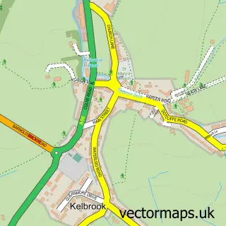
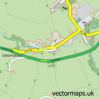
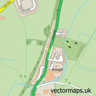
Nearby street map samples around Laneshaw Bridge
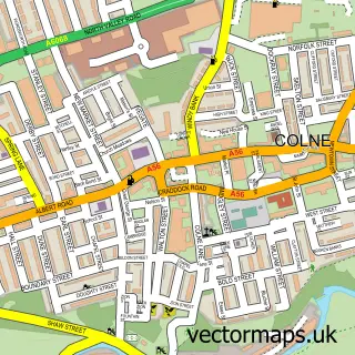

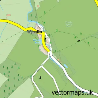
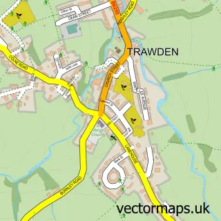
More street maps in Lancashire
750 metre map area coverage
Boundary, postcode and point of interest information for the 750m x 750m rectangle centred on this sample map.
Boundaries containing map centre
Constituency: Pendle and Clitheroe Co Const
County: Lancashire County
District: Pendle District (B)
Icb: NHS Lancashire and South Cumbria ICB
Parish: Laneshaw Bridge CP
Police Force: lancashire
Postcode District: BB8
Postcode Sector: BB8 7
Ward: Boulsworth & Foulridge Ward
Nearby boundaries intersecting sample
Postcode Sector: BB8 8
Postcode coverage
POI category counts
Caterer: 2
Landmark And Historical Building: 2
Pub: 2
Architectural Designer: 1
Bed And Breakfast: 1
Cleaning Services: 1
Elementary School: 1
Florist: 1
Gift Shop: 1
Hotel: 1
Sample points of interest
- Foxley Architect
- Rye Flatt Bed and Breakfast
- Hog N Cracklin - Hog Roast Catering
- Smokin Joes Hog Roasts
- Clean Fix
- Laneshawbridge Primary School
- Magnolia Florist
- Angel Wings Art
- Heathcliff Cottage
- Ladlaw Software
- Emmott Hall
- Laneshawbridge
Create a larger editable map of Laneshaw Bridge
This sample shows only a 750 metre area. To create a larger map of Laneshaw Bridge, use our map builder to choose your own coverage area, add titles and download editable SVG, PDF and PNG files.
Create a custom map of Laneshaw Bridge