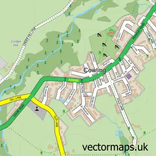
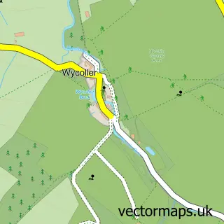
This Ickornshaw street map is a detailed vector street map covering a 750m x 750m area. Select a larger area to create and download your own vector street map of Ickornshaw.
The 750-metre map sample for Ickornshaw covers 91 mapped buildings and approximately 5.5 km of road detail, of which 5 named roads are named. The immediate area includes 1 school and 1 MOT station. The wider area around Ickornshaw features 1 tourism point of interest and 1 campsite within 2 miles. To create a larger or custom map of Ickornshaw, the map builder lets you define your own coverage area and download editable SVG, PDF and PNG files.
Create a larger editable map of Ickornshaw
Choose any area you need and generate a high-quality vector map instantly. Perfect for print, planning, design, business and personal use.

This Ickornshaw street map in North Yorkshire is available as downloadable SVG, PDF and PNG map files, or as a printed map for planning, business, display, education, local information and design work. You can also create a larger custom map area using the map selector.
What this Ickornshaw map sample shows
Ickornshaw lies within Cowling Cp parish, part of Cowling ward in the North Yorkshire local authority area. The postcode geography for this area includes the BD postcode area, the BD22 postcode district and the BD22 0 postcode sector. Residents fall under the Nhs West Yorkshire Integrated Care Board for NHS services.
Local features near Ickornshaw
Within 2 milesAmenities and services in and around Ickornshaw.
Administrative and postcode information for Ickornshaw
The local authority covering Ickornshaw is North Yorkshire, within the county of North Yorkshire. The settlement lies within Cowling ward and Cowling Cp civil parish. The BD22 postcode district and BD22 0 postcode sector serve the immediate area. NHS provision in the area is delivered through Airedale Nhs Foundation Trust.
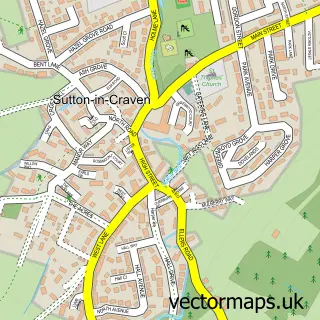
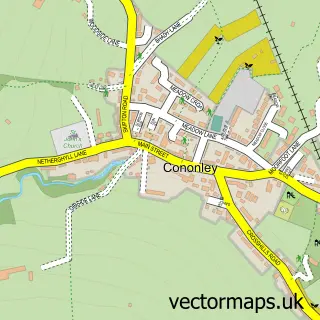
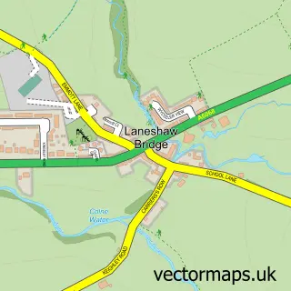
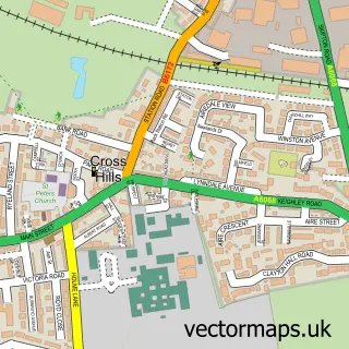
Nearby street map samples around Ickornshaw

More street maps in North Yorkshire
750 metre map area coverage
Boundary, postcode and point of interest information for the 750m x 750m rectangle centred on this sample map.
Boundaries containing map centre
Constituency: Skipton and Ripon Co Const
District: North Yorkshire
Icb: NHS West Yorkshire ICB
Parish: Cowling CP
Police Force: north yorkshire
Postcode District: BD22
Postcode Sector: BD22 0
Nearby boundaries intersecting sample
No additional intersecting boundaries found.
Postcode coverage
POI category counts
Contractor: 2
Cottage: 2
Anglican Church: 1
Architectural Designer: 1
Attractions And Activities: 1
Automotive Dealer: 1
Building Supply Store: 1
Car Dealer: 1
Carpet Cleaning: 1
Church Cathedral: 1
Sample points of interest
- Holy Trinity, Cowling Nr Keighley BD22 0DF
- Planet Architecture
- Middleton Field, Cowling
- D & C Classic Motorcycles
- Outshineshutters and Blinds
- D & C Trade Sales
- Craven Carpet Cleaning
- Holy Trinity Church
- Dovetail Kitchens
- Varley Boiler Services
- Little Gran's Self Catering Holiday Cottage Yorkshire
- Spiral Cottage
Create a larger editable map of Ickornshaw
This sample shows only a 750 metre area. To create a larger map of Ickornshaw, use our map builder to choose your own coverage area, add titles and download editable SVG, PDF and PNG files.
Create a custom map of Ickornshaw