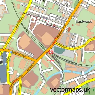
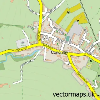
This Crosshills street map is a detailed vector street map covering a 750m x 750m area. Select a larger area to create and download your own vector street map of Crosshills.
The 750-metre map sample for Crosshills covers 401 mapped buildings and approximately 15.7 km of road detail, of which 51 named roads are named. The immediate area includes 1 school, 5 pubs and 3 MOT stations, with 9 within 2 miles. The wider area around Crosshills features 1 tourism point of interest, 10 food and drink venues and 1 campsite within 2 miles. To create a larger or custom map of Crosshills, the map builder lets you define your own coverage area and download editable SVG, PDF and PNG files.
Create a larger editable map of Crosshills
Choose any area you need and generate a high-quality vector map instantly. Perfect for print, planning, design, business and personal use.

This Crosshills street map in North Yorkshire is available as downloadable SVG, PDF and PNG map files, or as a printed map for planning, business, display, education, local information and design work. You can also create a larger custom map area using the map selector.
What this Crosshills map sample shows
Crosshills lies within Glusburn And Cross Hills Cp parish, part of Glusburn ward in the North Yorkshire local authority area. The postcode geography for this area includes the BD postcode area, the BD20 postcode district and the BD20 7 postcode sector. Residents fall under the Nhs West Yorkshire Integrated Care Board for NHS services.
Local features near Crosshills
Within 2 milesAmenities and services in and around Crosshills.
Administrative and postcode information for Crosshills
The local authority covering Crosshills is North Yorkshire, within the county of North Yorkshire. The settlement lies within Glusburn ward and Glusburn And Cross Hills Cp civil parish. The BD20 postcode district and BD20 7 postcode sector serve the immediate area. NHS provision in the area is delivered through Airedale Nhs Foundation Trust.
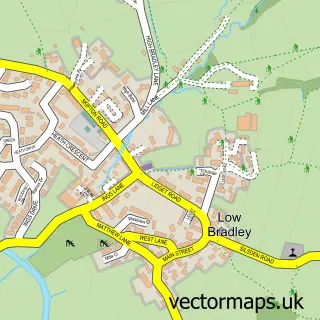
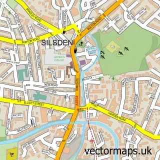
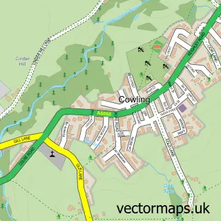
Nearby street map samples around Crosshills


More street maps in North Yorkshire
750 metre map area coverage
Boundary, postcode and point of interest information for the 750m x 750m rectangle centred on this sample map.
Boundaries containing map centre
Constituency: Skipton and Ripon Co Const
District: North Yorkshire
Icb: NHS West Yorkshire ICB
Parish: Glusburn and Cross Hills CP
Police Force: north yorkshire
Postcode District: BD20
Postcode Sector: BD20 7
Nearby boundaries intersecting sample
Parish: Sutton CP
Postcode Sector: BD20 8
Postcode coverage
POI category counts
Automotive Repair: 11
Beauty Salon: 8
Convenience Store: 8
Pub: 5
Atms: 4
Automotive: 4
Building Supply Store: 4
Cafe: 4
Car Dealer: 4
Professional Services: 4
Sample points of interest
- 3 Zero Graphics
- CPS Media
- Globewalk Media
- Ripon Farm Services
- Keighley Hypnotherapy
- Heathcote Antiques
- MoonChild Mosaics
- Crosshills Social Club
- Townend Close
- Asda (C) Cross Hills - Station Road PFS , Cross Hills
- Snax 24 - Keighley (SWAP), Crosshills
- Spar Cross Hills, CROSS HILLS
Create a larger editable map of Crosshills
This sample shows only a 750 metre area. To create a larger map of Crosshills, use our map builder to choose your own coverage area, add titles and download editable SVG, PDF and PNG files.
Create a custom map of Crosshills