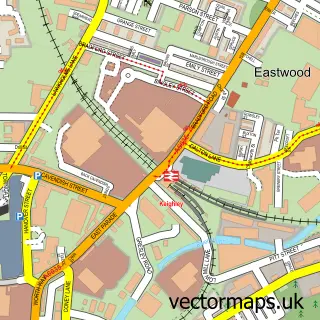
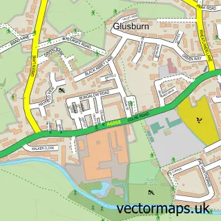
This Steeton street map is a detailed vector street map covering a 750m x 750m area. Select a larger area to create and download your own vector street map of Steeton.
The 750-metre map sample for Steeton covers 375 mapped buildings and approximately 17.9 km of road detail, of which 44 named roads are named. The immediate area includes 1 school, 1 railway station, 1 pub and 1 MOT station, with 10 within 2 miles. The wider area around Steeton features 1 tourism point of interest, 3 food and drink venues and 1 hotel. To create a larger or custom map of Steeton, the map builder lets you define your own coverage area and download editable SVG, PDF and PNG files.
Create a larger editable map of Steeton
Choose any area you need and generate a high-quality vector map instantly. Perfect for print, planning, design, business and personal use.

This Steeton street map in West Yorkshire is available as downloadable SVG, PDF and PNG map files, or as a printed map for planning, business, display, education, local information and design work. You can also create a larger custom map area using the map selector.
What this Steeton map sample shows
Steeton lies within Steeton With Eastburn Cp parish, part of Craven ward in the Bradford District (B) local authority area. The postcode geography for this area includes the BD postcode area, the BD20 postcode district and the BD20 6 postcode sector. Residents fall under the Nhs West Yorkshire Integrated Care Board for NHS services.
Local features near Steeton
Within 2 milesAmenities and services in and around Steeton.
Administrative and postcode information for Steeton
Steeton lies within Steeton With Eastburn Cp parish, part of Craven ward in the Bradford District (B) local authority area. The postcode geography for this area includes the BD postcode area, the BD20 postcode district and the BD20 6 postcode sector. Residents fall under the Nhs West Yorkshire Integrated Care Board for NHS services.
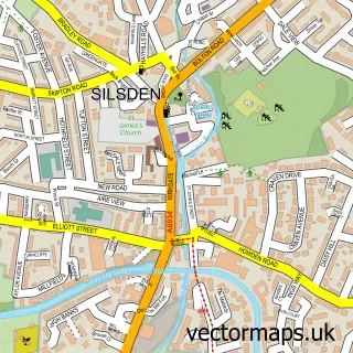
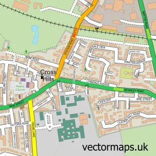
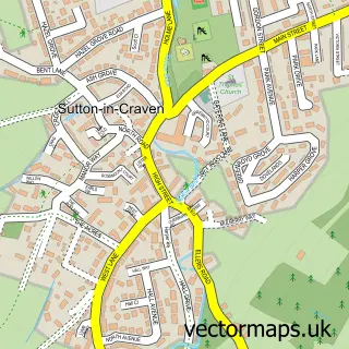
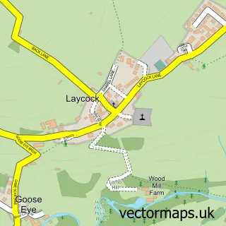
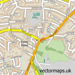
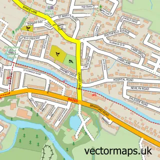
Nearby street map samples around Steeton


More street maps in West Yorkshire
750 metre map area coverage
Boundary, postcode and point of interest information for the 750m x 750m rectangle centred on this sample map.
Boundaries containing map centre
Constituency: Keighley and Ilkley Co Const
District: Bradford District (B)
Icb: NHS West Yorkshire ICB
Parish: Steeton with Eastburn CP
Police Force: west yorkshire
Postcode District: BD20
Postcode Sector: BD20 6
Ward: Craven Ward
Nearby boundaries intersecting sample
No additional intersecting boundaries found.
Postcode coverage
POI category counts
Beauty Salon: 5
Doctor: 4
Furniture Store: 3
Hospital: 3
Professional Services: 3
Anglican Church: 2
Bar: 2
Beauty And Spa: 2
Building Supply Store: 2
Industrial Equipment: 2
Sample points of interest
- Steeton Juniors AFC
- St Stephen's Church
- St Stephen's, Steeton-with-Eastburn
- AV Architects Ltd
- The Drum Loft
- Greenhill Care Home
- New Image Automotive
- White Rose Valeting and Detailing
- Soldiers and Sailors Club
- The Old Star
- Brows - Keighley Morrisons
- Couture Claws at blessed
Create a larger editable map of Steeton
This sample shows only a 750 metre area. To create a larger map of Steeton, use our map builder to choose your own coverage area, add titles and download editable SVG, PDF and PNG files.
Create a custom map of Steeton