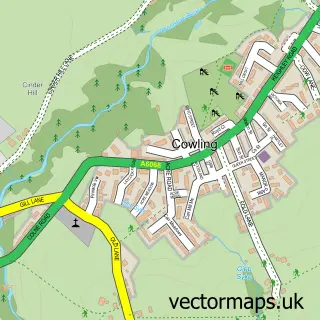
This Glusburn street map is a detailed vector street map covering a 750m x 750m area. Select a larger area to create and download your own vector street map of Glusburn.
The 750-metre map sample for Glusburn covers 308 mapped buildings and approximately 16.4 km of road detail, of which 38 named roads are named. The immediate area includes 1 school and 7 MOT stations within 2 miles. The wider area around Glusburn features 1 tourism point of interest and 1 campsite within 2 miles. To create a larger or custom map of Glusburn, the map builder lets you define your own coverage area and download editable SVG, PDF and PNG files.
Create a larger editable map of Glusburn
Choose any area you need and generate a high-quality vector map instantly. Perfect for print, planning, design, business and personal use.

This Glusburn street map in North Yorkshire is available as downloadable SVG, PDF and PNG map files, or as a printed map for planning, business, display, education, local information and design work. You can also create a larger custom map area using the map selector.
What this Glusburn map sample shows
Glusburn lies within Glusburn And Cross Hills Cp parish, part of Glusburn ward in the North Yorkshire local authority area. The postcode geography for this area includes the BD postcode area, the BD20 postcode district and the BD20 8 postcode sector. Residents fall under the Nhs West Yorkshire Integrated Care Board for NHS services.
Local features near Glusburn
Within 2 milesAmenities and services in and around Glusburn.
Administrative and postcode information for Glusburn
Glusburn lies within Glusburn And Cross Hills Cp parish, part of Glusburn ward in the North Yorkshire local authority area. The postcode geography for this area includes the BD postcode area, the BD20 postcode district and the BD20 8 postcode sector. Residents fall under the Nhs West Yorkshire Integrated Care Board for NHS services.
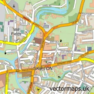
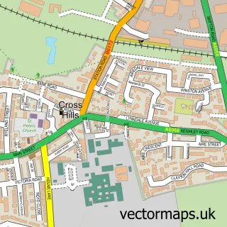
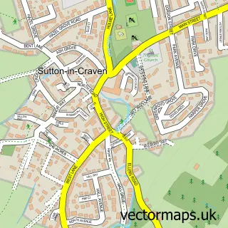
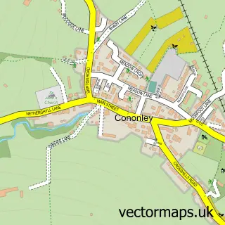
Nearby street map samples around Glusburn


More street maps in North Yorkshire
750 metre map area coverage
Boundary, postcode and point of interest information for the 750m x 750m rectangle centred on this sample map.
Boundaries containing map centre
Constituency: Skipton and Ripon Co Const
District: North Yorkshire
Icb: NHS West Yorkshire ICB
Parish: Glusburn and Cross Hills CP
Police Force: north yorkshire
Postcode District: BD20
Postcode Sector: BD20 8
Nearby boundaries intersecting sample
Parish: Sutton CP
Postcode coverage
POI category counts
Automotive Repair: 2
Community Center: 2
Dance School: 2
Financial Service: 2
Retail: 2
Sports Club And League: 2
Business Manufacturing And Supply: 1
Dog Trainer: 1
Electrician: 1
Elementary School: 1
Sample points of interest
- P R Autos
- T F Smiths
- Cirteq Ltd
- Glusburn Community & Arts Centre
- Glusburn Institute Community and Arts Centre
- Amore School of Dance
- Circle Dance Centre
- Amora Dog Training
- John Clayton Electrical Services
- Glusburn County Primary School
- Beckside
- Approachable Finance IFA
Create a larger editable map of Glusburn
This sample shows only a 750 metre area. To create a larger map of Glusburn, use our map builder to choose your own coverage area, add titles and download editable SVG, PDF and PNG files.
Create a custom map of Glusburn