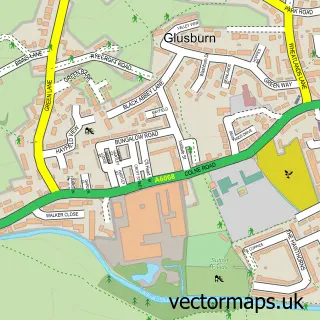
This Low Bradley street map is a detailed vector street map covering a 750m x 750m area. Select a larger area to create and download your own vector street map of Low Bradley.
The 750-metre map sample for Low Bradley covers 247 mapped buildings and approximately 15.9 km of road detail, of which 27 named roads are named. The immediate area includes 1 school, 3 pubs and 7 MOT stations within 2 miles. The wider area around Low Bradley features 1 tourism point of interest, 3 food and drink venues and 1 campsite within 2 miles. To create a larger or custom map of Low Bradley, the map builder lets you define your own coverage area and download editable SVG, PDF and PNG files.
Create a larger editable map of Low Bradley
Choose any area you need and generate a high-quality vector map instantly. Perfect for print, planning, design, business and personal use.

This Low Bradley street map in North Yorkshire is available as downloadable SVG, PDF and PNG map files, or as a printed map for planning, business, display, education, local information and design work. You can also create a larger custom map area using the map selector.
What this Low Bradley map sample shows
Low Bradley lies within Bradleys Both Cp parish, part of Aire Valley With Lothersdale ward in the North Yorkshire local authority area. The postcode geography for this area includes the BD postcode area, the BD20 postcode district and the BD20 9 postcode sector. Residents fall under the Nhs West Yorkshire Integrated Care Board for NHS services.
Local features near Low Bradley
Within 2 milesAmenities and services in and around Low Bradley.
Administrative and postcode information for Low Bradley
Low Bradley lies within Bradleys Both Cp parish, part of Aire Valley With Lothersdale ward in the North Yorkshire local authority area. The postcode geography for this area includes the BD postcode area, the BD20 postcode district and the BD20 9 postcode sector. Residents fall under the Nhs West Yorkshire Integrated Care Board for NHS services.
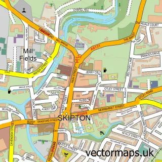
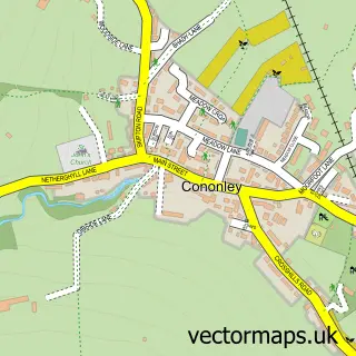
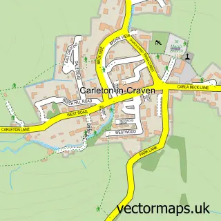
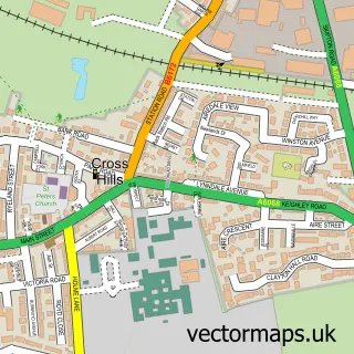
Nearby street map samples around Low Bradley


More street maps in North Yorkshire
750 metre map area coverage
Boundary, postcode and point of interest information for the 750m x 750m rectangle centred on this sample map.
Boundaries containing map centre
Constituency: Skipton and Ripon Co Const
District: North Yorkshire
Icb: NHS West Yorkshire ICB
Parish: Bradleys Both CP
Police Force: north yorkshire
Postcode District: BD20
Postcode Sector: BD20 9
Nearby boundaries intersecting sample
No additional intersecting boundaries found.
Postcode coverage
POI category counts
Pub: 3
Dance School: 2
Amusement Park: 1
Automotive: 1
Building Supply Store: 1
Church Cathedral: 1
Clothing Store: 1
Construction Services: 1
Convenience Store: 1
Cricket Ground: 1
Sample points of interest
- Edinburgh Butterfly & Insect World
- Skipton Barge & Boat Co
- Pinnacle Roofing & Property Maintenance
- St Mary's Bradley
- The Fleek Boutique
- Maude Constuction Ltd
- Sonhia's 'Bradley village store' | Bradley
- Bradley Cricket Club
- Fusion Xtreme Cheer and Dance
- Skipton Tango
- Skin Deep Treatments
- Bradleys Both Community Primary School
Create a larger editable map of Low Bradley
This sample shows only a 750 metre area. To create a larger map of Low Bradley, use our map builder to choose your own coverage area, add titles and download editable SVG, PDF and PNG files.
Create a custom map of Low Bradley