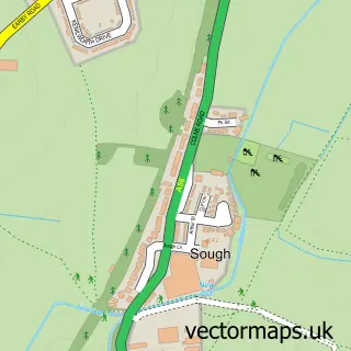
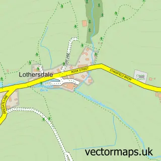
This Earby street map is a detailed vector street map covering a 750m x 750m area. Select a larger area to create and download your own vector street map of Earby.
The 750-metre map sample for Earby covers 314 mapped buildings and approximately 17.9 km of road detail, of which 53 named roads are named. The immediate area includes 1 GP surgery, with 2 within 2 miles, 1 pub and 3 MOT stations, with 9 within 2 miles. The wider area around Earby features 1 tourism point of interest, 6 food and drink venues and 2 hotels. To create a larger or custom map of Earby, the map builder lets you define your own coverage area and download editable SVG, PDF and PNG files.
Create a larger editable map of Earby
Choose any area you need and generate a high-quality vector map instantly. Perfect for print, planning, design, business and personal use.

This Earby street map in Lancashire is available as downloadable SVG, PDF and PNG map files, or as a printed map for planning, business, display, education, local information and design work. You can also create a larger custom map area using the map selector.
What this Earby map sample shows
Earby lies within Earby Cp parish, part of Earby ward in the Pendle District (B) local authority area. The postcode geography for this area includes the BB postcode area, the BB18 postcode district and the BB18 6 postcode sector. Residents fall under the Nhs Lancashire And South Cumbria Integrated Care Board for NHS services.
Local features near Earby
Within 2 milesAmenities and services in and around Earby.
Administrative and postcode information for Earby
The local authority covering Earby is Pendle District (B), within the county of Lancashire. The settlement lies within Earby ward and Earby Cp civil parish. The BB18 postcode district and BB18 6 postcode sector serve the immediate area. NHS provision in the area is delivered through Airedale Nhs Foundation Trust.
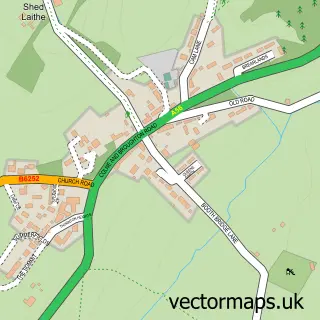
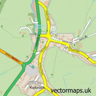
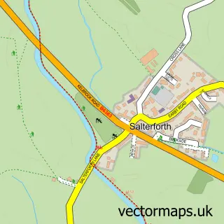
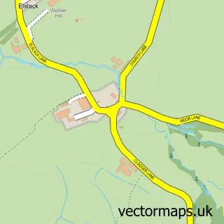
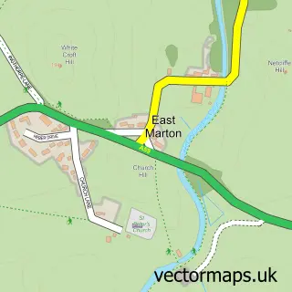
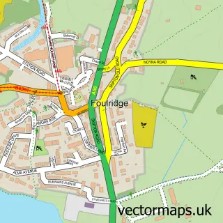
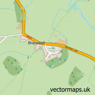
Nearby street map samples around Earby

More street maps in Lancashire
750 metre map area coverage
Boundary, postcode and point of interest information for the 750m x 750m rectangle centred on this sample map.
Boundaries containing map centre
Constituency: Pendle and Clitheroe Co Const
County: Lancashire County
District: Pendle District (B)
Icb: NHS Lancashire and South Cumbria ICB
Parish: Earby CP
Police Force: lancashire
Postcode District: BB18
Postcode Sector: BB18 6
Ward: Earby & Coates Ward
Nearby boundaries intersecting sample
No additional intersecting boundaries found.
Postcode coverage
POI category counts
Building Supply Store: 6
Automotive Repair: 5
Contractor: 3
Indian Restaurant: 3
Metal Fabricator: 3
Professional Services: 3
Bakery: 2
Bank Credit Union: 2
Bridal Shop: 2
Cafe: 2
Sample points of interest
- G4 Graphics
- Danielle Kay Medical Herbalist
- Earby: All Saints
- Ravenrock Boarding Kennels
- The Titanic In Lancashire Museum
- Felicitations
- The Cooperative Food (BF) Earby, Earby
- Awd 4 X 4
- Bailey's Garage
- Earby Autos Ltd
- Select Auto Bodies ltd
- Station Yard Auto Services
Create a larger editable map of Earby
This sample shows only a 750 metre area. To create a larger map of Earby, use our map builder to choose your own coverage area, add titles and download editable SVG, PDF and PNG files.
Create a custom map of Earby