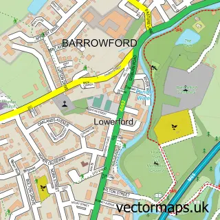
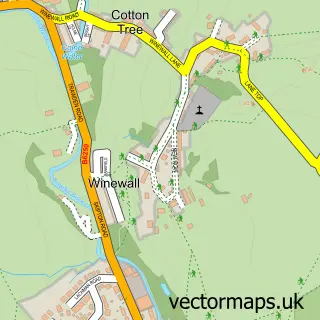
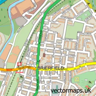
This Nelson street map is a detailed vector street map covering a 750m x 750m area. Select a larger area to create and download your own vector street map of Nelson.
The 750-metre map sample for Nelson covers 270 mapped buildings and approximately 31.3 km of road detail, of which 103 named roads are named. The immediate area includes 4 schools, 1 railway station, 8 GP surgeries within 2 miles and 2 pubs among other local services. The wider area around Nelson features 2 tourism points of interest and 14 food and drink venues. To create a larger or custom map of Nelson, the map builder lets you define your own coverage area and download editable SVG, PDF and PNG files.
Create a larger editable map of Nelson
Choose any area you need and generate a high-quality vector map instantly. Perfect for print, planning, design, business and personal use.

This Nelson street map in Lancashire is available as downloadable SVG, PDF and PNG map files, or as a printed map for planning, business, display, education, local information and design work. You can also create a larger custom map area using the map selector.
What this Nelson map sample shows
Nelson lies within Nelson Cp parish, part of Whitefield ward in the Pendle District (B) local authority area. The postcode geography for this area includes the BB postcode area, the BB9 postcode district and the BB9 7 postcode sector. Residents fall under the Nhs Lancashire And South Cumbria Integrated Care Board for NHS services.
Local features near Nelson
Within 2 milesAmenities and services in and around Nelson.
Administrative and postcode information for Nelson
The local authority covering Nelson is Pendle District (B), within the county of Lancashire. The settlement lies within Whitefield ward and Nelson Cp civil parish. The BB9 postcode district and BB9 7 postcode sector serve the immediate area. NHS provision in the area is delivered through East Lancashire Hospitals Nhs Trust.
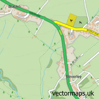
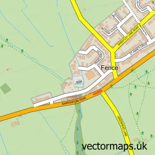
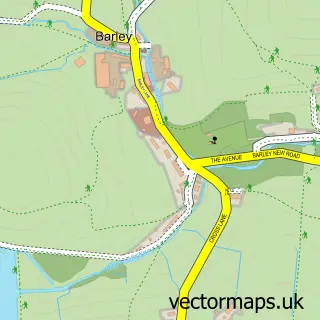
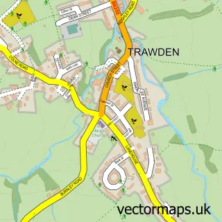
Nearby street map samples around Nelson

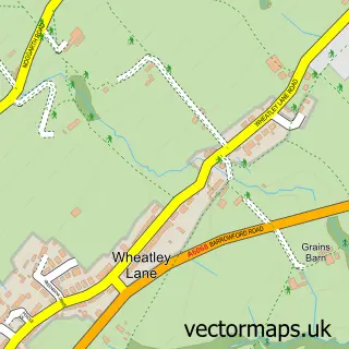
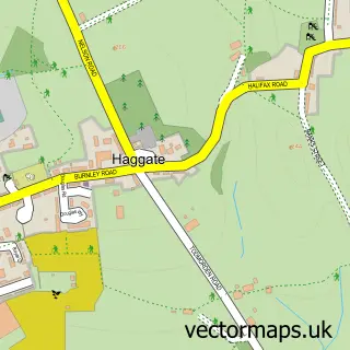
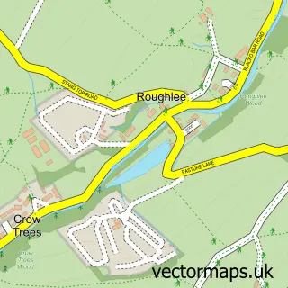
More street maps in Lancashire
750 metre map area coverage
Boundary, postcode and point of interest information for the 750m x 750m rectangle centred on this sample map.
Boundaries containing map centre
Constituency: Pendle and Clitheroe Co Const
County: Lancashire County
District: Pendle District (B)
Icb: NHS Lancashire and South Cumbria ICB
Parish: Nelson CP
Police Force: lancashire
Postcode District: BB9
Postcode Sector: BB9 9
Ward: Bradley Ward
Nearby boundaries intersecting sample
Postcode Sector: BB9 0, BB9 7, BB9 8
Ward: Marsden & Southfield Ward, Whitefield & Walverden Ward
Postcode coverage
POI category counts
Beauty Salon: 18
Professional Services: 13
Furniture Store: 9
Discount Store: 8
Banks: 7
Charity Organization: 7
Clothing Store: 7
Home Health Care: 7
Real Estate Agent: 7
Cafe: 6
Sample points of interest
- Accountaxation Ltd
- Ainsworth Chartered Accountants
- Countplus Accounting
- Flexi Finance
- BrandSpankin' Ltd
- Positive Solutions Northern
- RS Digital
- Star Print
- Hospice Care For Burnley & Pendle
- Pendle Archers
- Nelson Cenotaph
- The Artists Quarter
Create a larger editable map of Nelson
This sample shows only a 750 metre area. To create a larger map of Nelson, use our map builder to choose your own coverage area, add titles and download editable SVG, PDF and PNG files.
Create a custom map of Nelson