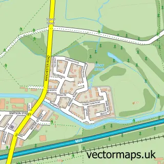
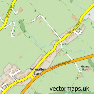
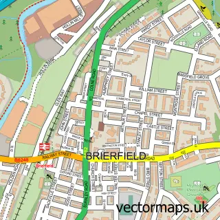
This Burnley street map is a detailed vector street map covering a 750m x 750m area. Select a larger area to create and download your own vector street map of Burnley.
The 750-metre map sample for Burnley covers 153 mapped buildings and approximately 25.7 km of road detail, of which 82 named roads are named. The immediate area includes 3 schools, 1 railway station, 2 GP surgeries, with 10 within 2 miles and 18 pubs among other local services. The wider area around Burnley features 5 tourism points of interest, 65 food and drink venues and 2 hotels. To create a larger or custom map of Burnley, the map builder lets you define your own coverage area and download editable SVG, PDF and PNG files.
Create a larger editable map of Burnley
Choose any area you need and generate a high-quality vector map instantly. Perfect for print, planning, design, business and personal use.

This Burnley street map in Lancashire is available as downloadable SVG, PDF and PNG map files, or as a printed map for planning, business, display, education, local information and design work. You can also create a larger custom map area using the map selector.
What this Burnley map sample shows
Burnley lies within Lancashire County parish, part of Bank Hall ward in the Burnley District (B) local authority area. The postcode geography for this area includes the BB postcode area, the BB11 postcode district and the BB11 2 postcode sector. Residents fall under the Nhs Lancashire And South Cumbria Integrated Care Board for NHS services.
Local features near Burnley
Within 2 milesAmenities and services in and around Burnley.
Administrative and postcode information for Burnley
The local authority covering Burnley is Burnley District (B), within the county of Lancashire. The settlement lies within Bank Hall ward and Lancashire County civil parish. The BB11 postcode district and BB11 2 postcode sector serve the immediate area. NHS provision in the area is delivered through East Lancashire Hospitals Nhs Trust.
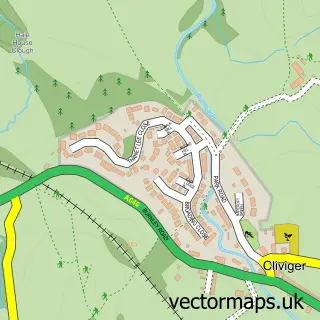
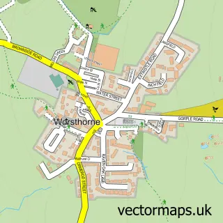
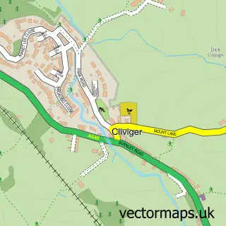
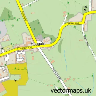
Nearby street map samples around Burnley

More street maps in Lancashire
750 metre map area coverage
Boundary, postcode and point of interest information for the 750m x 750m rectangle centred on this sample map.
Boundaries containing map centre
Constituency: Burnley Co Const
County: Lancashire County
District: Burnley District (B)
Icb: NHS Lancashire and South Cumbria ICB
Police Force: lancashire
Postcode District: BB11
Postcode Sector: BB11 1
Ward: Daneshouse with Stoneyholme Ward
Nearby boundaries intersecting sample
Postcode District: BB12
Postcode Sector: BB11 2, BB11 3, BB12 0
Ward: Bank Hall Ward, Trinity Ward
Postcode coverage
POI category counts
Beauty Salon: 33
Hair Salon: 23
Bar: 21
Cafe: 21
Clothing Store: 19
Beauty And Spa: 18
Professional Services: 18
Pub: 18
Fast Food Restaurant: 14
Real Estate Agent: 14
Sample points of interest
- Ashworth Moulds
- K M Chartered Accounts
- KM Chartered Accountants
- Kneeshaws Accountants
- Southerns Accountancy Services
- Shanghai Acupuncture Clinic
- Delphi Medical Ltd.
- Burnley Creative
- Sixty1a Design Studio
- Traffic For Biz
- Two Four Seven Digital
- Sahara Grill
Create a larger editable map of Burnley
This sample shows only a 750 metre area. To create a larger map of Burnley, use our map builder to choose your own coverage area, add titles and download editable SVG, PDF and PNG files.
Create a custom map of Burnley