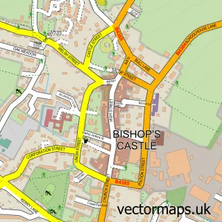
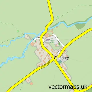
This Brockton street map is a detailed vector street map covering a 750m x 750m area. Select a larger area to create and download your own vector street map of Brockton.
The 750-metre map sample for Brockton covers 63 mapped buildings and approximately 20.3 km of road detail, of which 1 named road are named. The immediate area includes 1 GP surgery within 2 miles and 2 MOT stations within 2 miles. The wider area around Brockton features 1 campsite within 2 miles. To create a larger or custom map of Brockton, the map builder lets you define your own coverage area and download editable SVG, PDF and PNG files.
Create a larger editable map of Brockton
Choose any area you need and generate a high-quality vector map instantly. Perfect for print, planning, design, business and personal use.

This Brockton street map in Shropshire is available as downloadable SVG, PDF and PNG map files, or as a printed map for planning, business, display, education, local information and design work. You can also create a larger custom map area using the map selector.
What this Brockton map sample shows
Brockton lies within Lydbury North Cp parish, part of Bishop's Castle ward in the Shropshire local authority area. The postcode geography for this area includes the SY postcode area, the SY7 postcode district and the SY7 8 postcode sector. Residents fall under the Nhs Shropshire, Telford And Wrekin Integrated Care Board for NHS services.
Local features near Brockton
Within 2 milesAmenities and services in and around Brockton.
Administrative and postcode information for Brockton
The local authority covering Brockton is Shropshire, within the county of Shropshire. The settlement lies within Bishop's Castle ward and Lydbury North Cp civil parish. The SY7 postcode district and SY7 8 postcode sector serve the immediate area. NHS provision in the area is delivered through The Shrewsbury And Telford Hospital Nhs Trust.
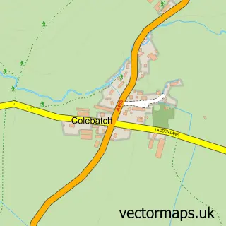
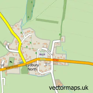
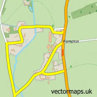
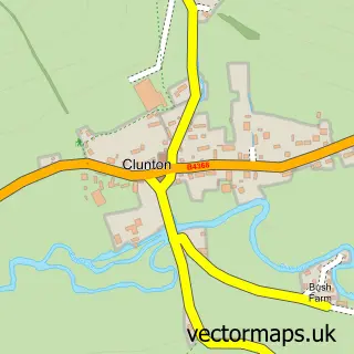
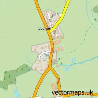
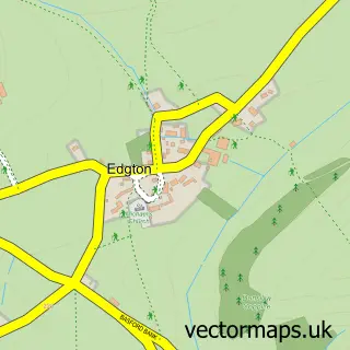
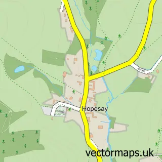
Nearby street map samples around Brockton

More street maps in Shropshire
750 metre map area coverage
Boundary, postcode and point of interest information for the 750m x 750m rectangle centred on this sample map.
Boundaries containing map centre
Constituency: South Shropshire Co Const
District: Shropshire
Icb: NHS Shropshire Telford and Wrekin ICB
Parish: Lydbury North CP
Police Force: west mercia
Postcode District: SY7
Postcode Sector: SY7 8
Nearby boundaries intersecting sample
Parish: Colebatch CP
Postcode District: SY9
Postcode Sector: SY9 5
Postcode coverage
POI category counts
Automotive Parts And Accessories: 1
Hunting And Fishing Supplies: 1
Sample points of interest
- Inta-Trac UK Ltd
- Angling Bait Club
Create a larger editable map of Brockton
This sample shows only a 750 metre area. To create a larger map of Brockton, use our map builder to choose your own coverage area, add titles and download editable SVG, PDF and PNG files.
Create a custom map of Brockton