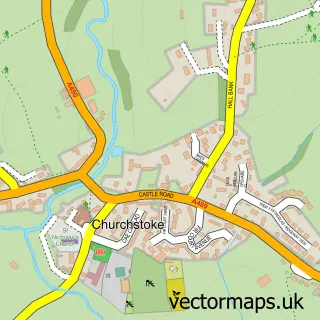
This Bishop's Castle street map is a detailed vector street map covering a 750m x 750m area. Select a larger area to create and download your own vector street map of Bishop's Castle.
The 750-metre map sample for Bishop's Castle covers 417 mapped buildings and approximately 45.3 km of road detail, of which 30 named roads are named. The immediate area includes 1 school, 1 GP surgery, 3 pubs and 2 MOT stations, with 3 within 2 miles. The wider area around Bishop's Castle features 5 tourism points of interest, 7 food and drink venues and 4 hotels. To create a larger or custom map of Bishop's Castle, the map builder lets you define your own coverage area and download editable SVG, PDF and PNG files.
Create a larger editable map of Bishop's Castle
Choose any area you need and generate a high-quality vector map instantly. Perfect for print, planning, design, business and personal use.

This Bishop's Castle street map in Shropshire is available as downloadable SVG, PDF and PNG map files, or as a printed map for planning, business, display, education, local information and design work. You can also create a larger custom map area using the map selector.
What this Bishop's Castle map sample shows
Bishop's Castle lies within Bishop's Castle Cp parish, part of Bishop's Castle ward in the Shropshire local authority area. The postcode geography for this area includes the SY postcode area, the SY9 postcode district and the SY9 5 postcode sector. Residents fall under the Nhs Shropshire, Telford And Wrekin Integrated Care Board for NHS services.
Local features near Bishop's Castle
Within 2 milesAmenities and services in and around Bishop's Castle.
Administrative and postcode information for Bishop's Castle
The local authority covering Bishop's Castle is Shropshire, within the county of Shropshire. The settlement lies within Bishop's Castle ward and Bishop's Castle Cp civil parish. The SY9 postcode district and SY9 5 postcode sector serve the immediate area. NHS provision in the area is delivered through The Shrewsbury And Telford Hospital Nhs Trust.
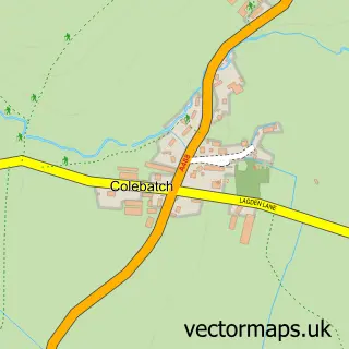
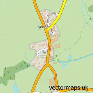
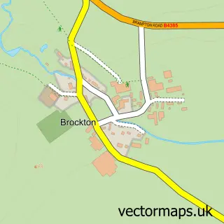
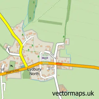
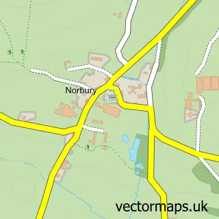
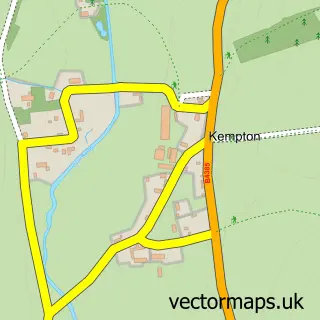
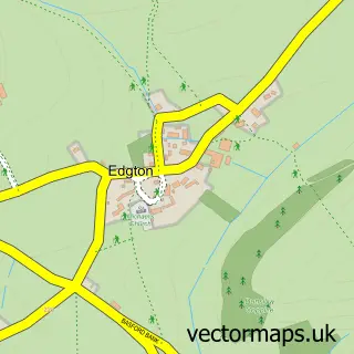
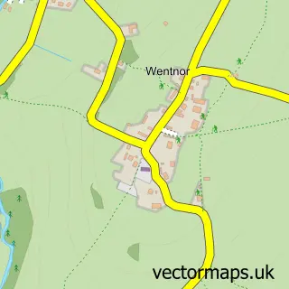
Nearby street map samples around Bishop's Castle

More street maps in Shropshire
750 metre map area coverage
Boundary, postcode and point of interest information for the 750m x 750m rectangle centred on this sample map.
Boundaries containing map centre
Constituency: South Shropshire Co Const
District: Shropshire
Icb: NHS Shropshire Telford and Wrekin ICB
Parish: Bishop's Castle CP
Police Force: west mercia
Postcode District: SY9
Postcode Sector: SY9 5
Nearby boundaries intersecting sample
No additional intersecting boundaries found.
Postcode coverage
POI category counts
Cafe: 4
Hotel: 4
Carpenter: 3
Gas Station: 3
Holiday Rental Home: 3
Professional Services: 3
Pub: 3
Antique Store: 2
Art Gallery: 2
Assisted Living Facility: 2
Sample points of interest
- Peter Geary and Co
- Pop Creative
- Acton Farming Co. - AFCO
- Tallulah's Meateasy
- Decorative Antiques
- Empires & Eagles Vintage Collectables & Curiosities
- Bishops Gallery
- Border Lights Gallery
- Bamber the Framer
- Abbeyfield House
- Castlehaven Care
- BR Spar Bishops Castle
Create a larger editable map of Bishop's Castle
This sample shows only a 750 metre area. To create a larger map of Bishop's Castle, use our map builder to choose your own coverage area, add titles and download editable SVG, PDF and PNG files.
Create a custom map of Bishop's Castle