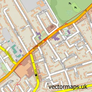
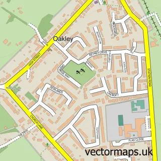
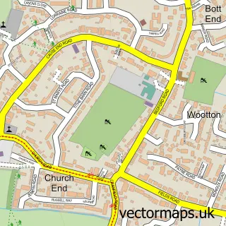
This Bromham street map is a detailed vector street map covering a 750m x 750m area. Select a larger area to create and download your own vector street map of Bromham.
The 750-metre map sample for Bromham covers 626 mapped buildings and approximately 20.7 km of road detail, of which 33 named roads are named. The immediate area includes 2 GP surgeries within 2 miles, 1 pub and 1 MOT station, with 4 within 2 miles. The wider area around Bromham features 1 food and drink venue. To create a larger or custom map of Bromham, the map builder lets you define your own coverage area and download editable SVG, PDF and PNG files.
Create a larger editable map of Bromham
Choose any area you need and generate a high-quality vector map instantly. Perfect for print, planning, design, business and personal use.

This Bromham street map in Bedfordshire is available as downloadable SVG, PDF and PNG map files, or as a printed map for planning, business, display, education, local information and design work. You can also create a larger custom map area using the map selector.
What this Bromham map sample shows
Bromham lies within Bromham Cp parish, part of Bromham And Biddenham ward in the Bedford (B) local authority area. The postcode geography for this area includes the MK postcode area, the MK43 postcode district and the MK43 8 postcode sector. Residents fall under the Nhs Bedfordshire, Luton And Milton Keynes Integrated Care Board for NHS services.
Local features near Bromham
Within 2 milesAmenities and services in and around Bromham.
Administrative and postcode information for Bromham
Bromham lies within Bromham Cp parish, part of Bromham And Biddenham ward in the Bedford (B) local authority area. The postcode geography for this area includes the MK postcode area, the MK43 postcode district and the MK43 8 postcode sector. Residents fall under the Nhs Bedfordshire, Luton And Milton Keynes Integrated Care Board for NHS services.
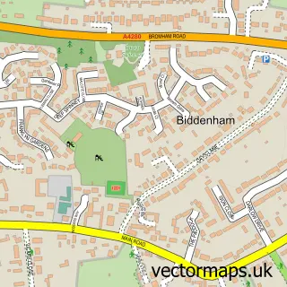
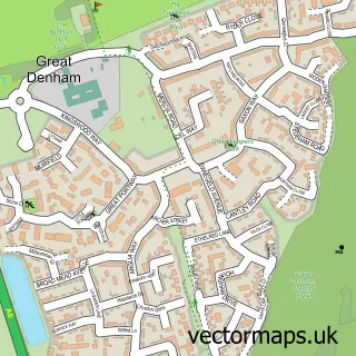
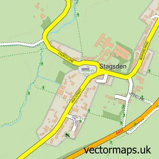
Nearby street map samples around Bromham

More street maps in Bedfordshire
750 metre map area coverage
Boundary, postcode and point of interest information for the 750m x 750m rectangle centred on this sample map.
Boundaries containing map centre
Constituency: North Bedfordshire Co Const
District: Bedford (B)
Icb: NHS Central East ICB
Parish: Bromham CP
Police Force: bedfordshire
Postcode District: MK43
Postcode Sector: MK43 8
Ward: Bromham Ward
Nearby boundaries intersecting sample
Parish: Kempston Rural CP
Ward: Wootton & Kempston Rural Ward
Postcode coverage
POI category counts
Convenience Store: 4
Professional Services: 3
Business Management Services: 2
Gas Station: 2
Package Locker: 2
Rental Kiosks: 2
Active Life: 1
Alternative Medicine: 1
Automotive: 1
Automotive Repair: 1
Sample points of interest
- Adam Woodin Fitness
- Pure Hypno
- Steven Eagell Toyota Bedford
- Motability Scheme at Steven Eagell Toyota Bromham
- Footloose
- Federation of Small Businesses
- Reborn Media Ltd.
- Friendly Carpentry
- TAGAMO
- Careful Clean
- Jenstone Industrial
- Andrew Johnson Specialist Flooring
Create a larger editable map of Bromham
This sample shows only a 750 metre area. To create a larger map of Bromham, use our map builder to choose your own coverage area, add titles and download editable SVG, PDF and PNG files.
Create a custom map of Bromham